Road Stream Crossing Site BL-99
Crooked River Watershed, McPhee Creek
Valley Rd
Maple River Twp,
Emmet County
Information collected by:
Site Location
GPS Coordinates: 45.464307
, -84.817843
T36N
R03W
Sec 32
Fish Passability 0.5
Total Erosion: 0.1388 tons/year
Severity: Moderate
Year Inventoried: 2014
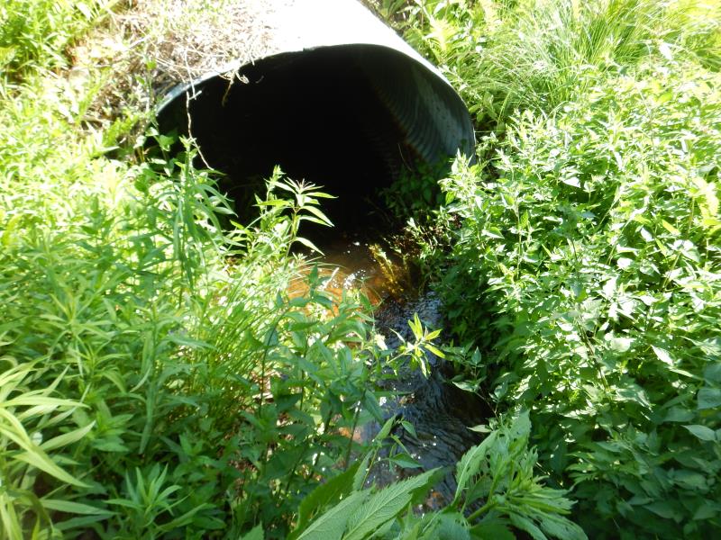
Inlet
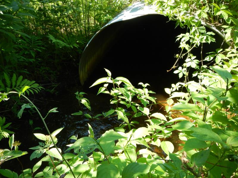
Outlet
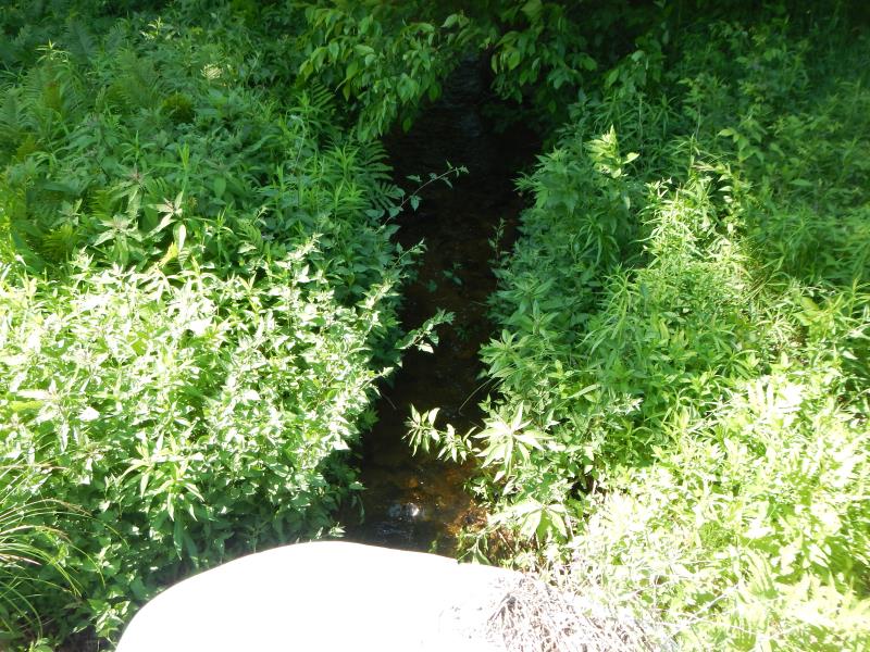
Upstream Conditions
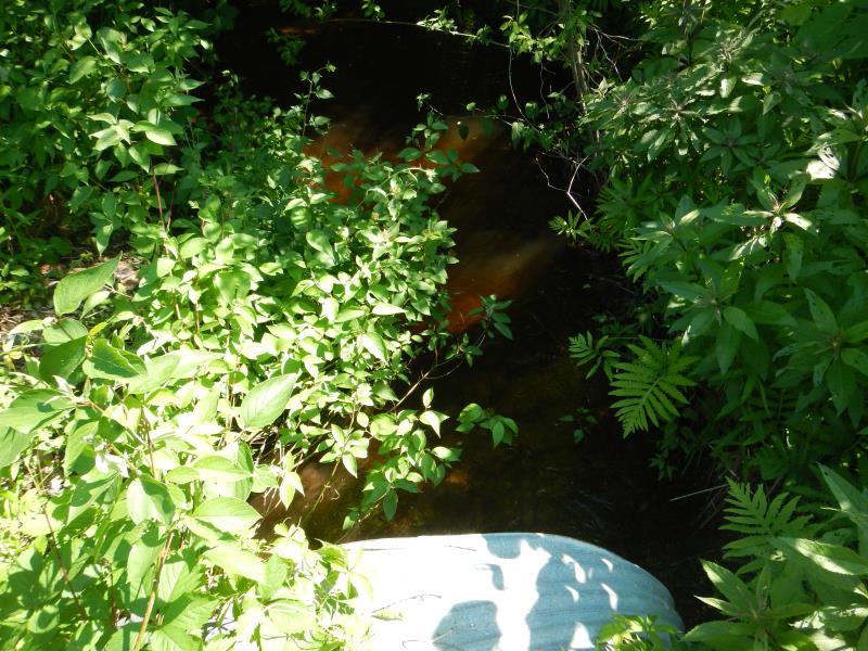
Downstream Conditions
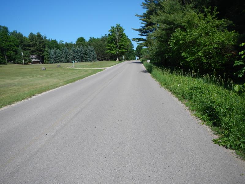
Road Approach - Left
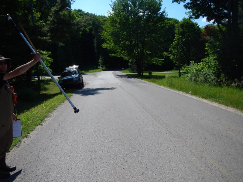
Road Approach - Right
Crossing Information
Type of Crossing: culvert(s)
Number of Structures: 1
Structure Shape: Round
Inlet Type: Projecting
Outlet Type: At Stream Grade
Structure Material: Metal
Structure Substrate: None
General Conditions: Good
Structure Interior: corrugated
Dimensions of Structure: Length 50 ft.
, Width 5.5 ft.
, Height 4 ft.
Structure Inlet
Water Depth: 0.54 ft.
Embedded Depth of Structure: 0 ft.
Water Velocity*: 2.5 ft./sec.
Structure Outlet
Water Depth: 0.64 ft.
Embedded Depth of Structure: 0.17 ft.
Water Velocity*: 1.5 ft./sec.
*Water Velocities were measured 0.33 ft. below Surface
(with Meter)
Stream Information
Stream Flow: Less than Bankfull
Riffle Information
Water Depth: 0.5 ft.
Bankfull Width: 10.25 ft.
Wetted Width: 8.08 ft.
Water Velocity: 1.5 ft./sec.
(Measured with Meter)
Road Information
Paved
County Road
Road Condition: Good
Road Width at Culvert: 24 ft.
Location of Low Point: Other
Runoff Path: Roadway
Embankments
Upstream
Fill Depth: 2.5 ft.
Slope: 1:1
Downstream
Fill Depth: 2.5 ft.
Slope: 1:1.5
Approaches
Left Approach
Length: 300 ft.
Slope: 1% to 5%
Vegetation: Partial
LS Factor: 0.55
Erosion: 0.1309 tons/year
Right Approach
Length: 200 ft.
Slope: Less Than 1%
Vegetation: Partial
LS Factor: 0.05
Erosion: 0.0079 tons/year
Erosion Information
Total Erosion at Crossing: 0.1388 tons/year
Summary Information
Fish Passability 0.5
�