Road Stream Crossing Site BT-01
Maple River Watershed, Bessey Creek
Silver Strand
Munro Twp,
Cheboygan County
Information collected by:
Site Location
GPS Coordinates: 45.601798
, -84.715059
T37N
R03W
Sec 18
Fish Passability 0.9
Total Erosion: 0.0909 tons/year
Severity: Moderate
Year Inventoried: 2015
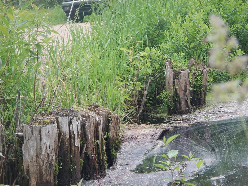
Inlet

Outlet
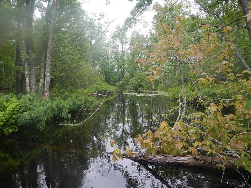
Downstream Conditions
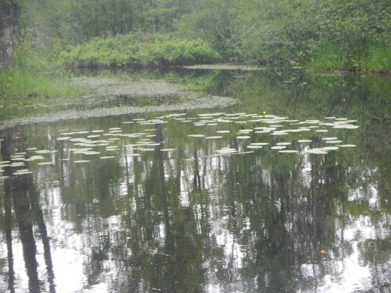
Upstream Conditions
Road Approach - Left
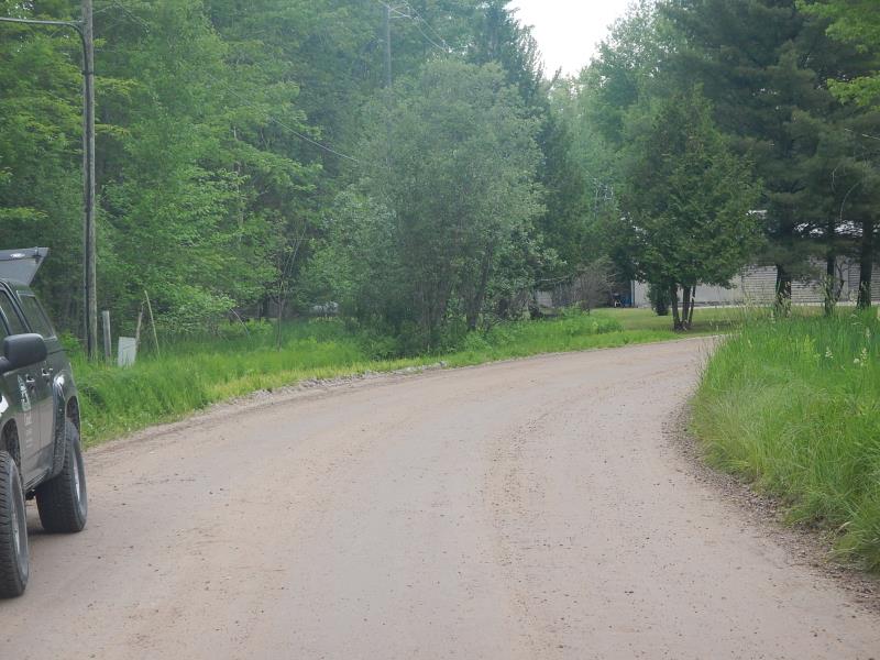
Road Approach - Right
Crossing Information
Type of Crossing: culvert(s)
Number of Structures: 1
Structure Shape: Round
Inlet Type: Projecting
Outlet Type: At Stream Grade
Structure Material: Metal
Structure Substrate: Mixture
General Conditions: Good
Dimensions of Structure: Length 26 ft.
, Width 4.5 ft.
, Height 4.5 ft.
Structure Inlet
Water Depth: 4.42 ft.
Embedded Depth of Structure: 0.5 ft.
Water Velocity*: 0.46 ft./sec.
Structure Outlet
Water Depth: 4.33 ft.
Embedded Depth of Structure: 0.42 ft.
Water Velocity*: 0.22 ft./sec.
(with Meter)
Additional Comments
LTC
Stream Information
Stream Flow: More than Bankfull
Scour Pool: Length 50 ft.
, Width 20 ft.
, Depth 2 ft.
Upstream Pond: Length 40 ft.
, Width 20 ft.
Riffle Information
Water Depth: 5.8 ft.
Bankfull Width: 37 ft.
Wetted Width: 37 ft.
Water Velocity: 0.05 ft./sec.
(Measured with Meter)
Dominant Substrate: Silt
Road Information
Gravel
County Road
Road Condition: Good
Road Width at Culvert: 22 ft.
Runoff Path: Roadway
Embankments
Upstream
Fill Depth: 1.5 ft.
Slope: 1:2
Downstream
Fill Depth: 1.5 ft.
Slope: 1:2
Approaches
Left Approach
Length: 150 ft.
Slope: Less Than 1%
Vegetation: Partial
LS Factor: 0.05
Erosion: 0.0455 tons/year
Right Approach
Length: 150 ft.
Slope: Less Than 1%
Vegetation: Partial
LS Factor: 0.05
Erosion: 0.0455 tons/year
Erosion Information
Total Erosion at Crossing: 0.0909 tons/year
Extent of Erosion: Moderate
Notes: over culvert each side of road
Summary Information
Fish Passability 0.9
Erosion is an area of concern for this site.
culvert submerged
A future visit to this site is recommended. erosion
�