Road Stream Crossing Site BT-02
Maple River Watershed, Bessey Creek
Ingelside South
Munro Twp,
Cheboygan County
Information collected by:
Site Location
GPS Coordinates: 45.605836
, -84.712619
T37N
R03W
Sec 17
Fish Passability 0.5
Total Erosion: 0.2479 tons/year
Severity: Moderate
Year Inventoried: 2015
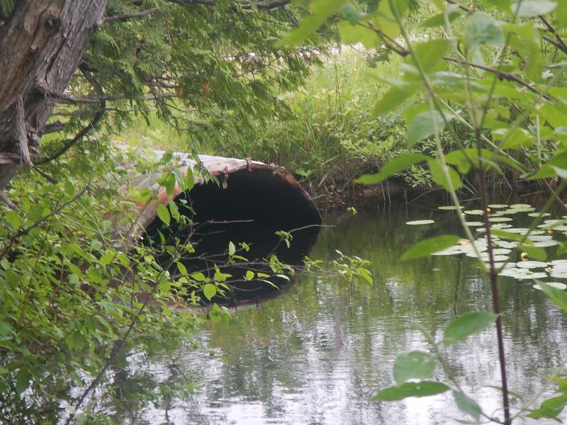
Inlet
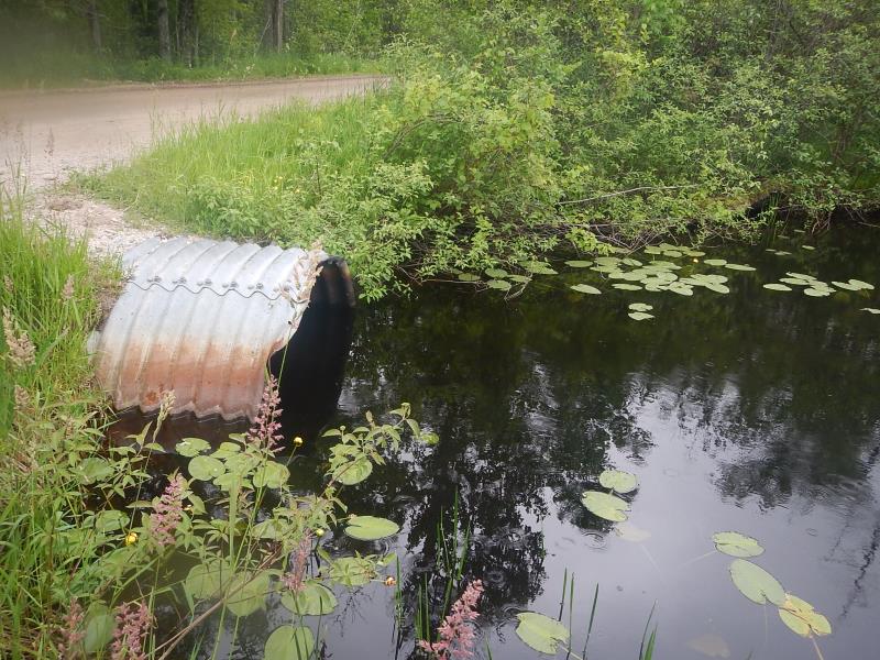
Outlet
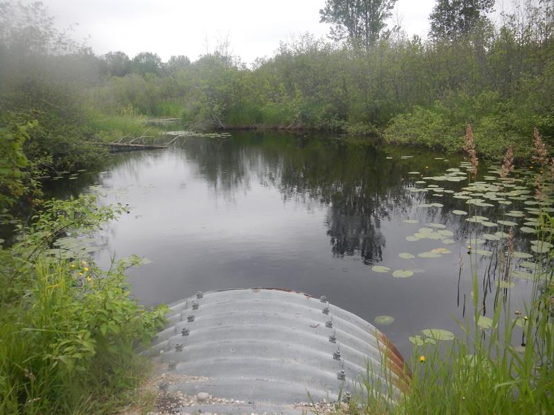
Upstream Conditions
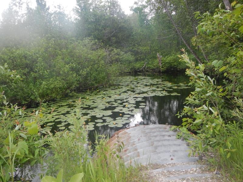
Downstream Conditions
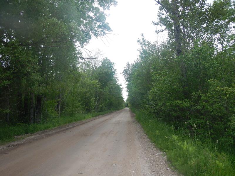
Road Approach - Left
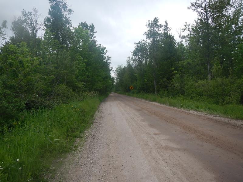
Road Approach - Right
Crossing Information
Type of Crossing: culvert(s)
Number of Structures: 1
Structure Shape: Round
Inlet Type: Projecting
Outlet Type: At Stream Grade
Structure Material: Metal
Structure Substrate: None
General Conditions: Fair
Structure Interior: corrugated
Dimensions of Structure: Length 40 ft.
, Width 4 ft.
, Height 4 ft.
Structure Inlet
Water Depth: 2.7 ft.
Water Velocity*: 0.5 ft./sec.
Structure Outlet
Water Depth: 3.1 ft.
Water Velocity*: 0.6 ft./sec.
*Water Velocities were measured 2 ft. below Surface
(with Meter)
Stream Information
Stream Flow: Less than Bankfull
Scour Pool: Length 80 ft.
, Width 60 ft.
, Depth 7 ft.
Upstream Pond: Length 40 ft.
, Width 50 ft.
Riffle Information
Water Depth: 2.1 ft.
Bankfull Width: 24 ft.
Wetted Width: 23.08 ft.
Water Velocity: 0.32 ft./sec.
(Measured with Float Test)
Dominant Substrate: Organics
Road Information
Gravel
County Road
Road Width at Culvert: 22.5 ft.
Embankments
Upstream
Fill Depth: 0.92 ft.
Slope: More than 1:2
Downstream
Fill Depth: 0.5 ft.
Slope: More than 1:2
Approaches
Left Approach
Length: 500 ft.
Slope: Less Than 1%
Vegetation: Heavy
LS Factor: 0.05
Erosion: 0.155 tons/year
Right Approach
Length: 300 ft.
Slope: Less Than 1%
Vegetation: Heavy
LS Factor: 0.05
Erosion: 0.093 tons/year
Erosion Information
Total Erosion at Crossing: 0.2479 tons/year
Summary Information
Fish Passability 0.5
�