Road Stream Crossing Site BT-03
Maple River Watershed, Bessey Creek
Brill Rd
Munro Twp,
Cheboygan County
Information collected by:
Site Location
GPS Coordinates: 45.607556
, -84.710465
T37N
R03W
Sec 17
Fish Passability 0.9
Total Erosion: 0.3939 tons/year
Severity: Minor
Year Inventoried: 2015
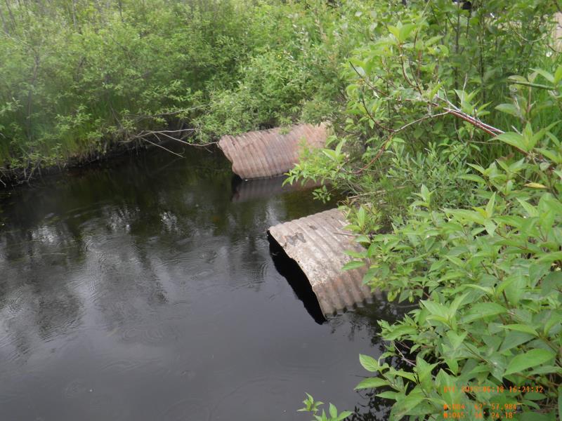
Inlet
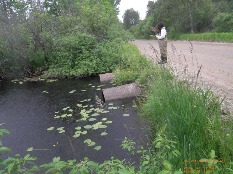
Outlet
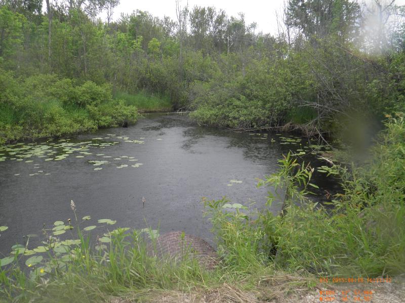
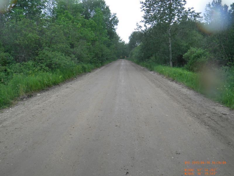
Downstream Conditions
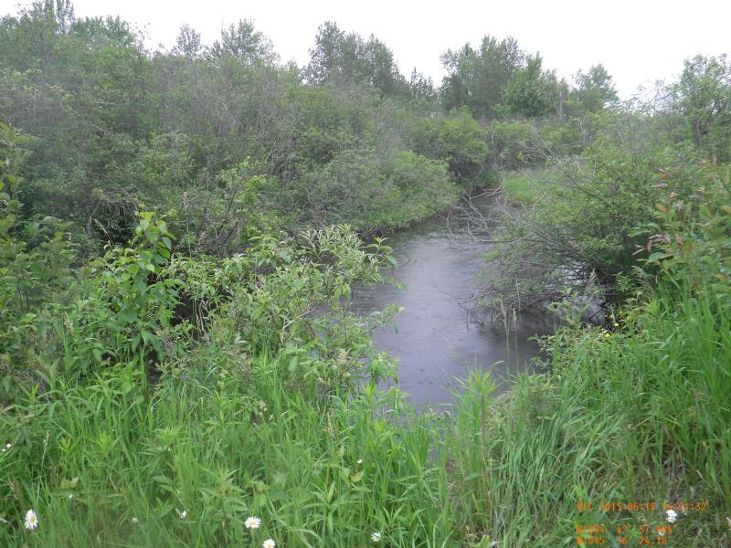
Upstream Conditions
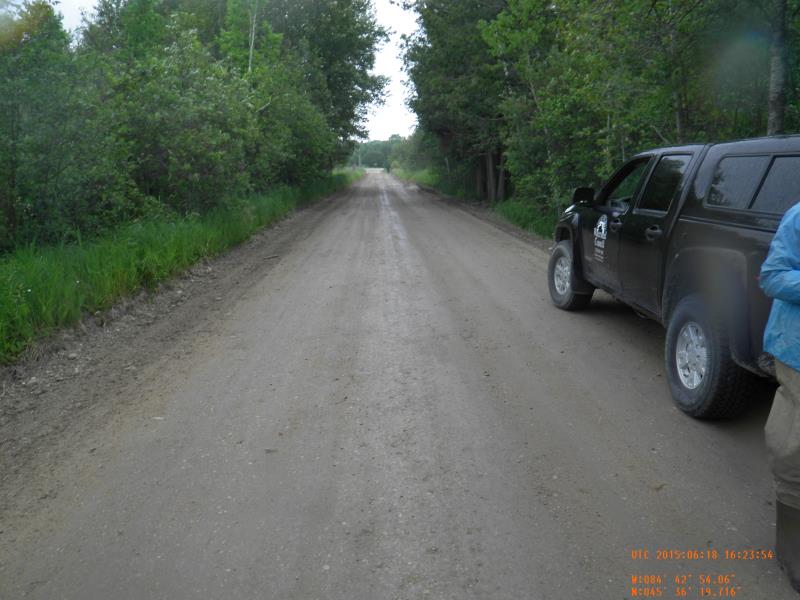
Road Approach - Left
Road Approach - Right
Crossing Information
Type of Crossing: culvert(s)
Number of Structures: 2
Structure Shape: Round
Inlet Type: Projecting
Outlet Type: At Stream Grade
Structure Material: Metal
Structure Substrate: Mixture
General Conditions: Fair
Multiple Culverts/Spans | ||||
Culvert/Span | Width | Length | Height | Material |
1 |
4 ft. |
4 ft. |
Metal |
|
2 |
6 ft. |
3.25 ft. |
||
Structure Interior: corrugated
Dimensions of Structure: Length 41 ft.
, Width 4 ft.
, Height 4 ft.
Structure Inlet
Water Depth: 2.1 ft.
Embedded Depth of Structure: 0.5 ft.
Water Velocity*: 0 ft./sec.
Structure Outlet
Water Depth: 3.2 ft.
Embedded Depth of Structure: 0.5 ft.
Water Velocity*: 0 ft./sec.
*Water Velocities were measured 1 ft. below Surface
(with Meter)
Stream Information
Stream Flow: Less than Bankfull
Upstream Pond: Length 60 ft.
, Width 50 ft.
Riffle Information
Water Depth: 2.1 ft.
Bankfull Width: 24 ft.
Wetted Width: 23.08 ft.
Water Velocity: 0.32 ft./sec.
(Measured with Meter)
Dominant Substrate: Sand
Road Information
Gravel
County Road
Road Width at Culvert: 22 ft.
Location of Low Point: At Stream
Embankments
Upstream
Fill Depth: 1.5 ft.
Slope: More than 1:2
Downstream
Fill Depth: 1.5 ft.
Slope: More than 1:2
Approaches
Left Approach
Length: 75 ft.
Slope: 1% to 5%
Vegetation: Heavy
LS Factor: 0.36
Erosion: 0.1636 tons/year
Right Approach
Length: 100 ft.
Slope: 1% to 5%
Vegetation: Heavy
LS Factor: 0.38
Erosion: 0.2303 tons/year
Erosion Information
Total Erosion at Crossing: 0.3939 tons/year
Summary Information
Fish Passability 0.9
�