Road Stream Crossing Site BT-05
Maple River Watershed, Bessey Creek
Ingleside North
Munro Twp,
Cheboygan County
Information collected by:
Site Location
GPS Coordinates: 45.615559
, -84.712664
T37N
R03W
Sec 8
Fish Passability 0
Perch Height: 0.17 ft.
Total Erosion: 1.2114 tons/year
Severity: Severe
Year Inventoried: 2015
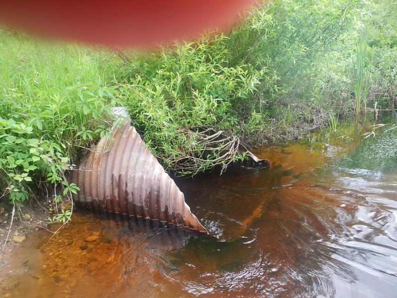
Inlet
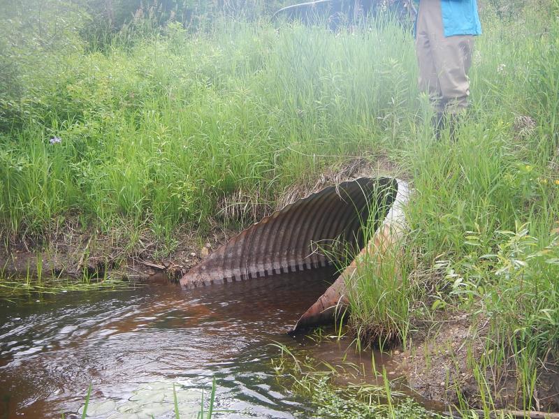
Outlet
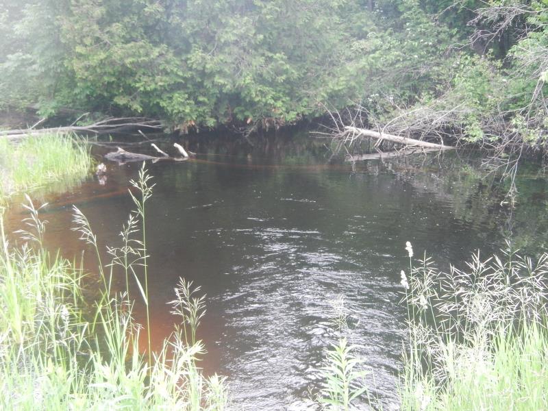
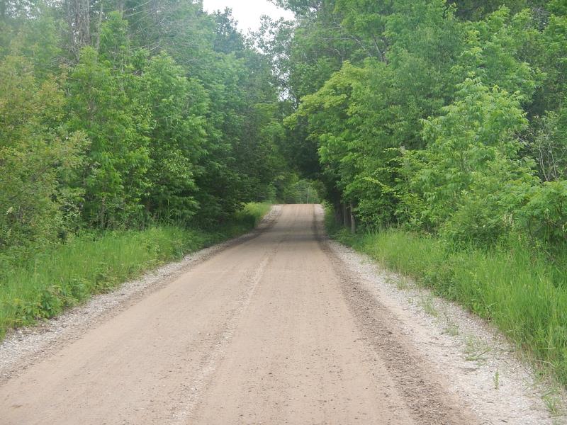
Downstream Conditions
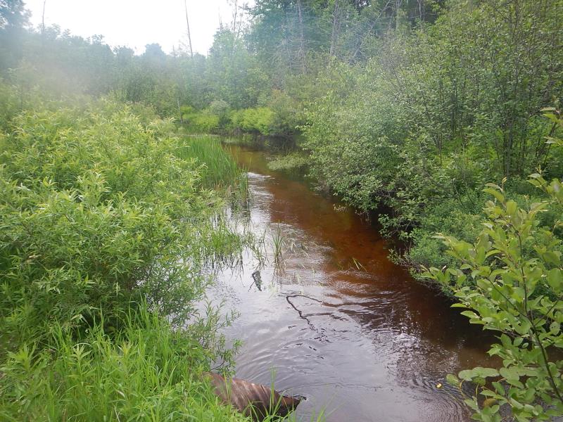
Upstream Conditions
Road Approach - Left
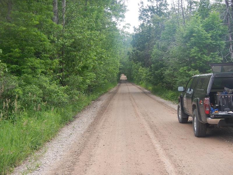
Road Approach - Right
Crossing Information
Type of Crossing: culvert(s)
Number of Structures: 1
Structure Shape: Round
Inlet Type: Mitered
Outlet Type: At Stream Grade
Structure Material: Metal
Structure Substrate: Sand
General Conditions: Good
Structure Interior: corrugated
Dimensions of Structure: Length 32.5 ft.
, Width 5 ft.
, Height 3.5 ft.
Perch Height: 0.17 ft.
Structure Inlet
Water Depth: 1.2 ft.
Embedded Depth of Structure: 0.08 ft.
Water Velocity*: 2.05 ft./sec.
Structure Outlet
Water Depth: 1 ft.
Embedded Depth of Structure: 0 ft.
Water Velocity*: 2.78 ft./sec.
*Water Velocities were measured 0.5 ft. below Surface
(with Meter)
Stream Information
Stream Flow: Less than Bankfull
Scour Pool: Length 30 ft.
, Width 30 ft.
, Depth 5 ft.
Upstream Pond: Length 15 ft.
, Width 60 ft.
Riffle Information
Water Depth: 0.6 ft.
Bankfull Width: 17.67 ft.
Wetted Width: 17.67 ft.
Water Velocity: 1.4 ft./sec.
(Measured with Meter)
Road Information
Gravel
County Road
Road Condition: Fair
Road Width at Culvert: 16.5 ft.
Location of Low Point: Other
Runoff Path: Ditch
Embankments
Upstream
Fill Depth: 2.17 ft.
Slope: 1:2
Downstream
Fill Depth: 2.42 ft.
Slope: 1:2
Approaches
Left Approach
Length: 50 ft.
Slope: 1% to 5%
Vegetation: Heavy
LS Factor: 0.33
Erosion: 0.075 tons/year
Right Approach
Length: 500 ft.
Slope: 1% to 5%
Vegetation: Heavy
LS Factor: 0.5
Erosion: 1.1364 tons/year
Erosion Information
Total Erosion at Crossing: 1.2114 tons/year
Extent of Erosion: Moderate
Summary Information
Fish Passability 0
�