Road Stream Crossing Site CC-01
Maple River Watershed, Carp Creek
Hogsback
Burt Twp,
Cheboygan County
Information collected by:
Site Location
GPS Coordinates: 45.548662
, -84.682527
T36N
R03W
Sec 4
Fish Passability 0.5
Total Erosion: 0.9818 tons/year
Severity: Moderate
Year Inventoried: 2015
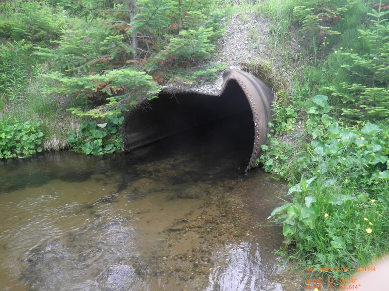
Inlet
Outlet
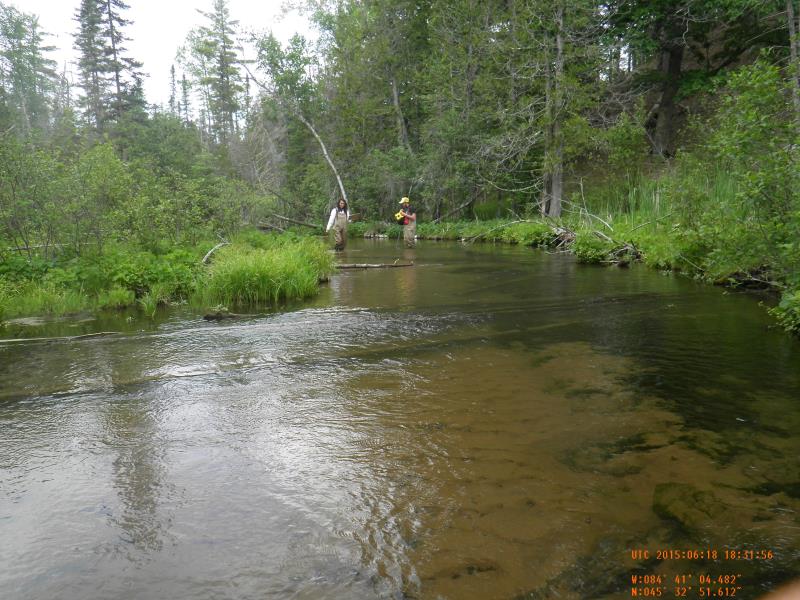
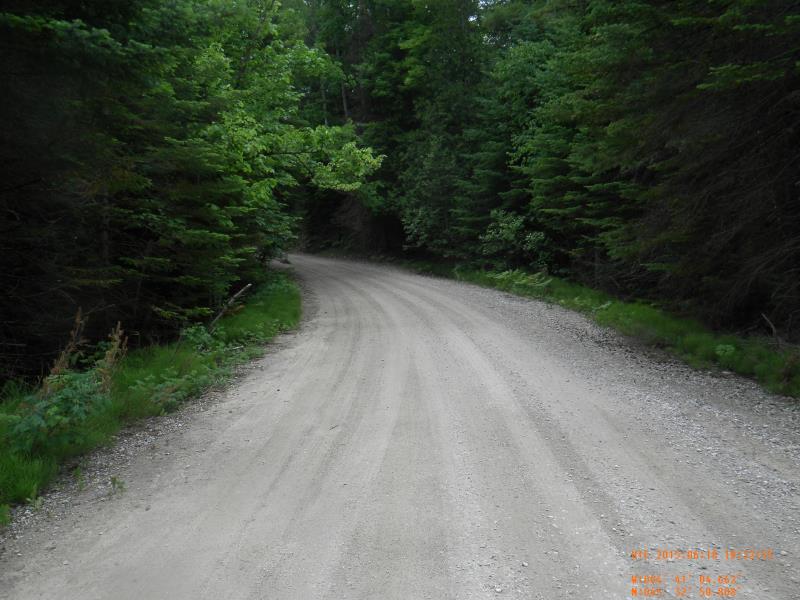
Upstream Conditions
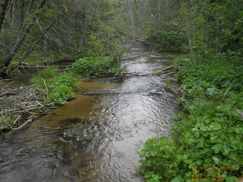
Downstream Conditions
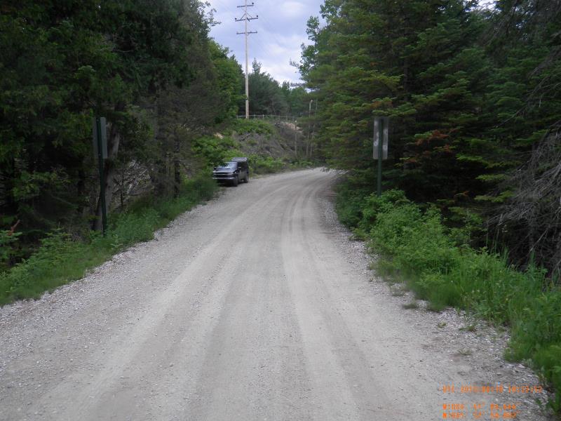
Road Approach - Left
Road Approach - Right
Crossing Information
Type of Crossing: culvert(s)
Number of Structures: 1
Structure Shape: Round
Inlet Type: Projecting
Outlet Type: At Stream Grade
Structure Material: Metal
Structure Substrate: Gravel
General Conditions: Fair
Structure Interior: corrugated
Dimensions of Structure: Length 32 ft.
, Width 5 ft.
, Height 7 ft.
Percentage Crushed:
Inlet: 26% to 50%
Structure Inlet
Water Depth: 1.42 ft.
Embedded Depth of Structure: 0.17 ft.
Water Velocity*: 2.1 ft./sec.
Structure Outlet
Water Depth: 1.67 ft.
Embedded Depth of Structure: 0.17 ft.
Water Velocity*: 2.16 ft./sec.
*Water Velocities were measured 0.5 ft. below Surface
(with Meter)
Stream Information
Stream Flow: Less than Bankfull
Riffle Information
Water Depth: 1.15 ft.
Bankfull Width: 24 ft.
Wetted Width: 23 ft.
Water Velocity: 1.3 ft./sec.
(Measured with Meter)
Dominant Substrate: Sand
Road Information
Gravel
County Road
Road Condition: Good
Road Width at Culvert: 18 ft.
Location of Low Point: At Stream
Embankments
Upstream
Fill Depth: 3.5 ft.
Slope: 1:1.5
Downstream
Fill Depth: 3 ft.
Slope: 1:1.5
Approaches
Left Approach
Length: 100 ft.
Slope: 6% to 10%
Vegetation: Heavy
LS Factor: 0.99
Erosion: 0.4909 tons/year
Right Approach
Length: 100 ft.
Slope: 6% to 10%
Vegetation: Heavy
LS Factor: 0.99
Erosion: 0.4909 tons/year
Erosion Information
Total Erosion at Crossing: 0.9818 tons/year
Extent of Erosion: Severe
Summary Information
Fish Passability 0.5
�