Road Stream Crossing Site MH-01
Crooked River Watershed, West Branch Minnehaha Creek
Berger
Springvale Twp,
Emmet County
Information collected by:
Site Location
GPS Coordinates: 45.348425
, -84.833425
T34N
R03W
Sec 17
Fish Passability 0.5
Structure is NOT Perched
Total Erosion: 0 tons/year
Severity: Moderate
Year Inventoried: 2015
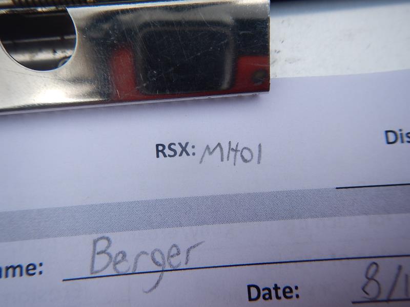
Site ID
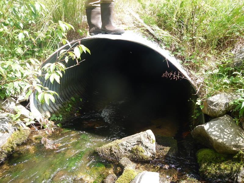
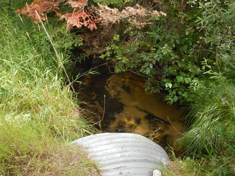
Inlet
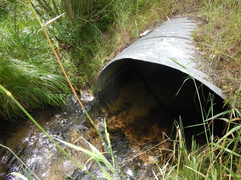
Outlet
Upstream Conditions
Downstream Conditions
Road Approach - Left
Road Approach - Right
Crossing Information
Type of Crossing: culvert(s)
Number of Structures: 1
Structure Shape: Ellipse
Inlet Type: Projecting
Outlet Type: At Stream Grade
Structure Material: Metal
Structure Substrate: Sand
General Conditions: Good
Structure Interior: corrugated
Dimensions of Structure: Length 60 ft.
, Width 5.66 ft.
, Height 3.75 ft.
Structure is NOT Perched
Structure Inlet
Water Depth: 0.5 ft.
Embedded Depth of Structure: 0 ft.
Water Velocity*: 3 ft./sec.
Structure Outlet
Water Depth: 0.92 ft.
Embedded Depth of Structure: 0.33 ft.
Water Velocity*: 0.8 ft./sec.
*Water Velocities were measured 0.17 ft. below Surface
(with Meter)
Stream Information
Stream Flow: Less than Bankfull
Scour Pool: Length 8.75 ft.
, Width 9.83 ft.
, Depth 1.25 ft.
Riffle Information
Water Depth: 0.5 ft.
Bankfull Width: 10 ft.
Wetted Width: 6.92 ft.
Water Velocity: 0.9 ft./sec.
(Measured with Meter)
Dominant Substrate: Organics
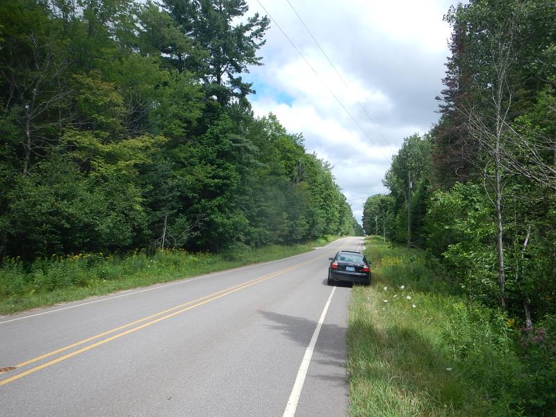
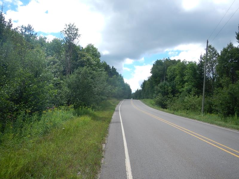
Road Information
Paved
County Road
Road Condition: Good
Road Width at Culvert: 28 ft.
Location of Low Point: Other
Runoff Path: Ditch
Embankments
Upstream
Fill Depth: 1.5 ft.
Slope: Vertical
Downstream
Fill Depth: 1.5 ft.
Slope: Vertical
Approaches
Left Approach
Length: 600 ft.
Slope: 1% to 5%
Vegetation: Heavy
LS Factor: 0.52
Erosion: 0 tons/year
Right Approach
Length: 350 ft.
Slope: 1% to 5%
Vegetation: Heavy
LS Factor: 0.47
Erosion: 0 tons/year
Erosion Information
Total Erosion at Crossing: 0 tons/year
Summary Information
Fish Passability 0.5
These non-native species were observerd at this site: Purple loosestrife pic #5178
�