Road Stream Crossing Site MH-02
Crooked River Watershed, Silver Creek
Silver Creek
Springvale Twp,
Emmet County
Information collected by:
Site Location
GPS Coordinates: 45.367003
, -84.801788
T34N
R03W
Sec 4
Owned by Private
Fish Passability 0.5
Total Erosion: 0.9457 tons/year
Severity: Moderate
Year Inventoried: 2015
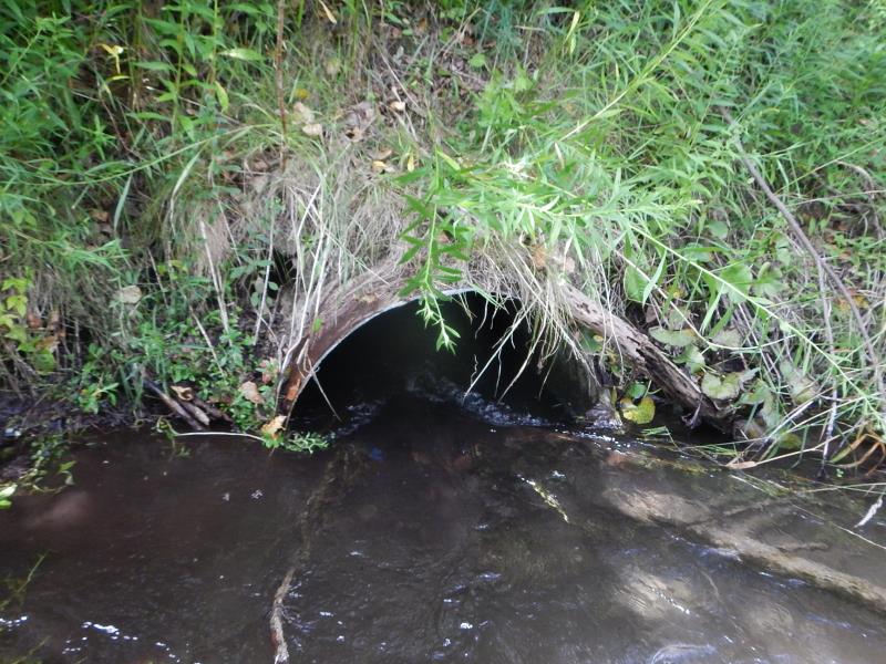
Inlet
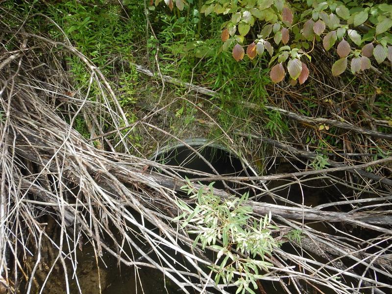
Outlet
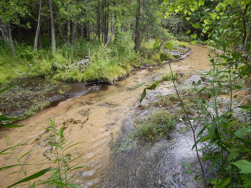
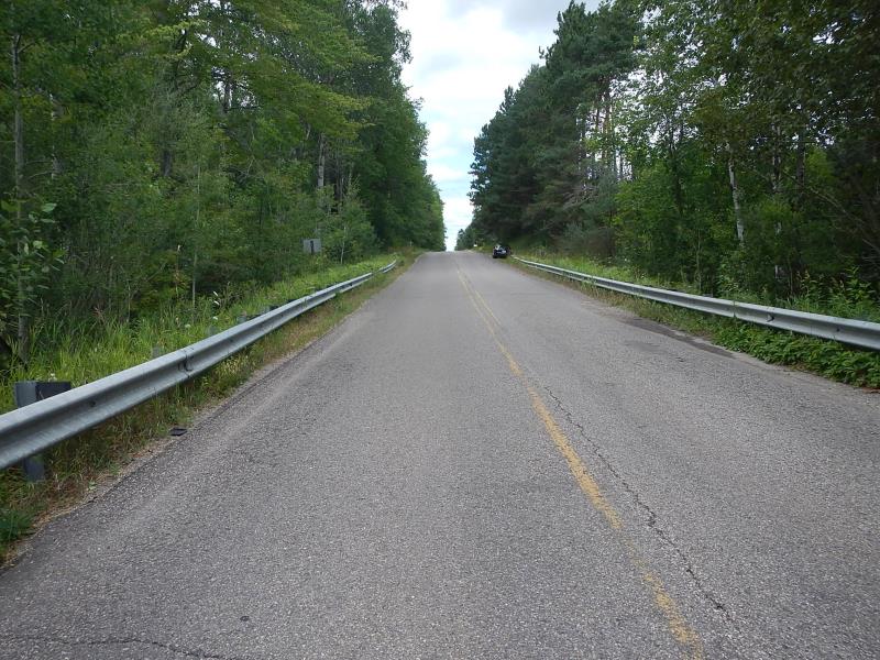
Upstream Conditions
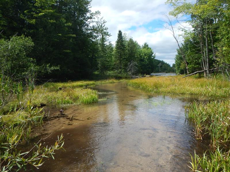
Downstream Conditions
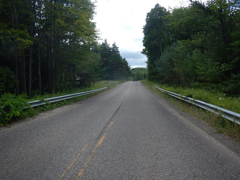
Road Approach - Left
Road Approach - Right
Crossing Information
Type of Crossing: culvert(s)
Number of Structures: 1
Structure Shape: Round
Inlet Type: Projecting
Outlet Type: At Stream Grade
Structure Material: Metal
Structure Substrate: Sand
General Conditions: Fair
Structure Interior: corrugated
Dimensions of Structure: Length 44 ft.
, Width 3 ft.
, Height 3.25 ft.
Percentage Plugged:
Inlet: 1% to 25%
Outlet: 0%
In Pipe: 0%
Structure Inlet
Water Depth: 1.3 ft.
Embedded Depth of Structure: 1 ft.
Water Velocity*: 2.9 ft./sec.
Structure Outlet
Water Depth: 2.05 ft.
Embedded Depth of Structure: 0 ft.
Water Velocity*: 2 ft./sec.
*Water Velocities were measured 0.5 ft. below Surface
(with Meter)
Additional Comments
Impoundment 1200ft downstream
Stream Information
Stream Flow: Less than Bankfull
Riffle Information
Water Depth: 0.3 ft.
Bankfull Width: 18 ft.
Wetted Width: 18 ft.
Water Velocity: 0.01 ft./sec.
(Measured with Meter)
Road Information
Paved
County Road
Road Condition: Good
Road Width at Culvert: 24 ft.
Location of Low Point: At Stream
Runoff Path: Ditch
Embankments
Upstream
Fill Depth: 12 ft.
Slope: More than 1:2
Downstream
Fill Depth: 13 ft.
Slope: More than 1:2
Approaches
Left Approach
Length: 700 ft.
Slope: 1% to 5%
Vegetation: Heavy
LS Factor: 0.535
Erosion: 0.2971 tons/year
Right Approach
Length: 500 ft.
Slope: 6% to 10%
Vegetation: Heavy
LS Factor: 1.635
Erosion: 0.6486 tons/year
Erosion Information
Total Erosion at Crossing: 0.9457 tons/year
Summary Information
Fish Passability 0.5
A future visit to this site is recommended. once impoundment is removed
�