Road Stream Crossing Site MH-03
Crooked River Watershed, Silver Creek
Pickerel Lake Rd
Springvale Twp,
Emmet County
Information collected by:
Site Location
GPS Coordinates: 45.377032
, -84.814185
T34N
R03W
Sec 5
Fish Passability 0
Perch Height: 0.75 ft.
Total Erosion: 0.006 tons/year
Severity: Severe
Year Inventoried: 2015
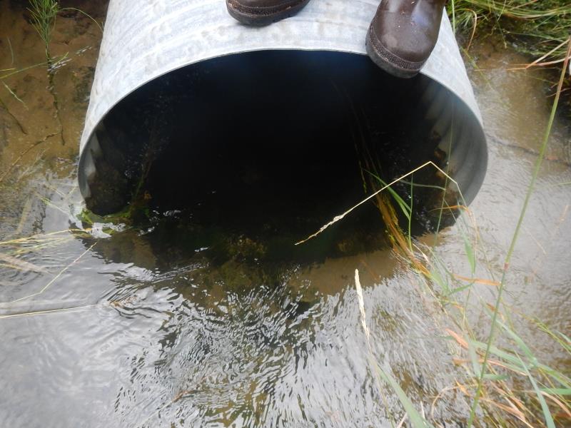
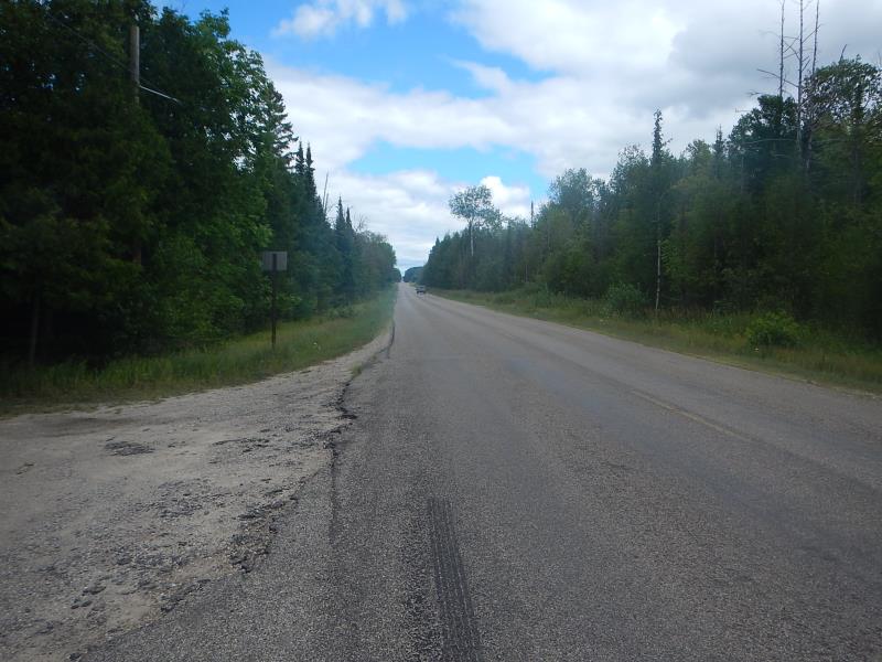
Inlet
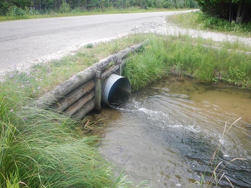
Outlet
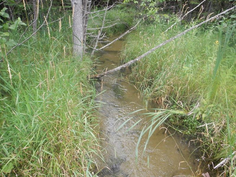
Upstream Conditions
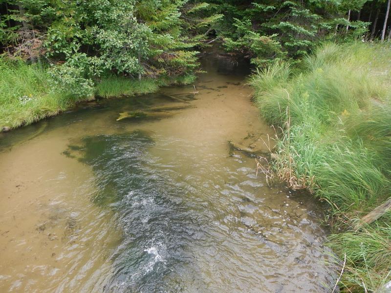
Downstream Conditions
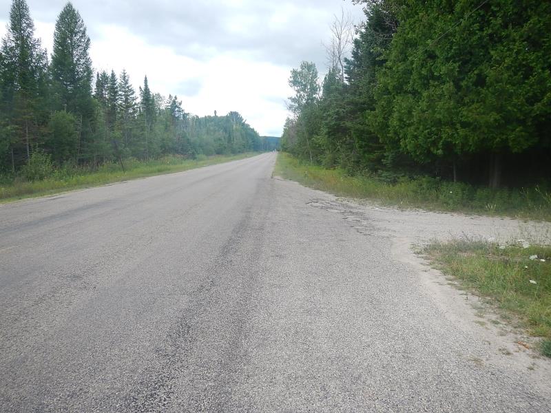
Road Approach - Left
Road Approach - Right
Crossing Information
Type of Crossing: culvert(s)
Number of Structures: 1
Structure Shape: Round
Inlet Type: Projecting
Outlet Type: At Stream Grade
Structure Material: Metal
Structure Substrate: None
General Conditions: Good
Dimensions of Structure: Length 60 ft.
, Width 3 ft.
, Height 3 ft.
Perch Height: 0.75 ft.
Structure Inlet
Water Depth: 1.25 ft.
Water Velocity*: 4.6 ft./sec.
Structure Outlet
Water Depth: 1 ft.
Water Velocity*: 6.8 ft./sec.
*Water Velocities were measured 0.5 ft. below Surface
(with Meter)
Stream Information
Stream Flow: Less than Bankfull
Scour Pool: Length 20 ft.
, Width 20 ft.
, Depth 20 ft.
Riffle Information
Water Depth: 1.2 ft.
Bankfull Width: 10 ft.
Wetted Width: 8.58 ft.
Water Velocity: 0.9 ft./sec.
(Measured with Meter)
Dominant Substrate: Sand
Road Information
Paved
County Road
Road Condition: Fair
Road Width at Culvert: 36 ft.
Location of Low Point: Other
Runoff Path: Ditch
Embankments
Upstream
Fill Depth: 2 ft.
Slope: 1:2
Downstream
Fill Depth: 1.5 ft.
Slope: 1:2
Approaches
Left Approach
Length: 50 ft.
Slope: Less Than 1%
Vegetation: Heavy
LS Factor: 0.05
Erosion: 0.003 tons/year
Right Approach
Length: 50 ft.
Slope: Less Than 1%
Vegetation: Heavy
LS Factor: 0.05
Erosion: 0.003 tons/year
Erosion Information
Total Erosion at Crossing: 0.006 tons/year
Summary Information
Fish Passability 0
Fish Passage is an area of concern for this site.
�