Road Stream Crossing Site MI-03
Crooked River Watershed, Minnehaha Creek
Mitchell Rd
Springvale Twp,
Emmet County
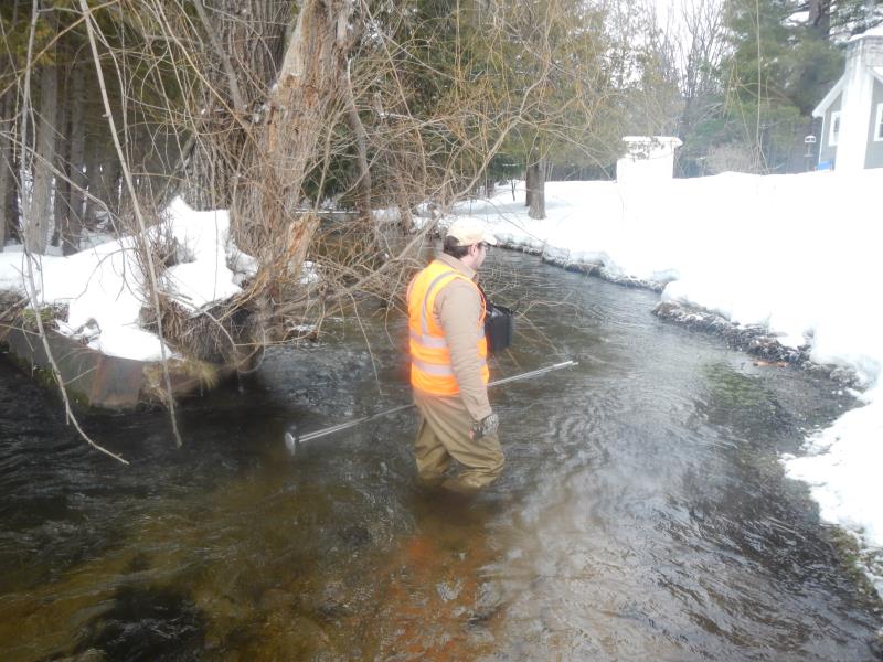
Information collected by:
Site Location
GPS Coordinates: 45.363194
, -84.826476
T34N
R03W
Sec 5
Fish Passability 0.5
Structure is NOT Perched
Severity: Moderate
Year Inventoried: 2016
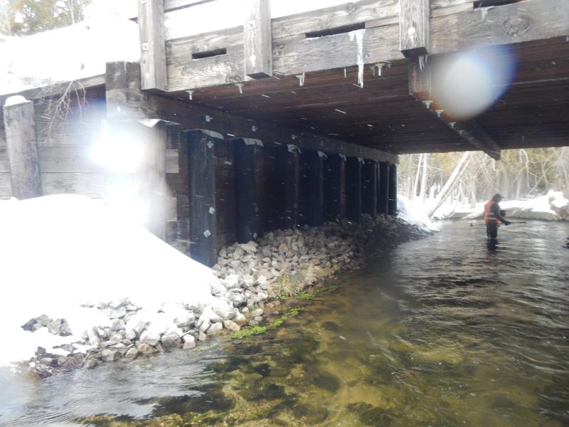
Inlet
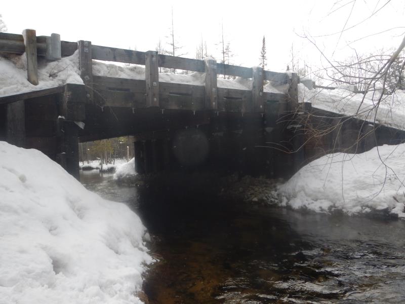
Outlet
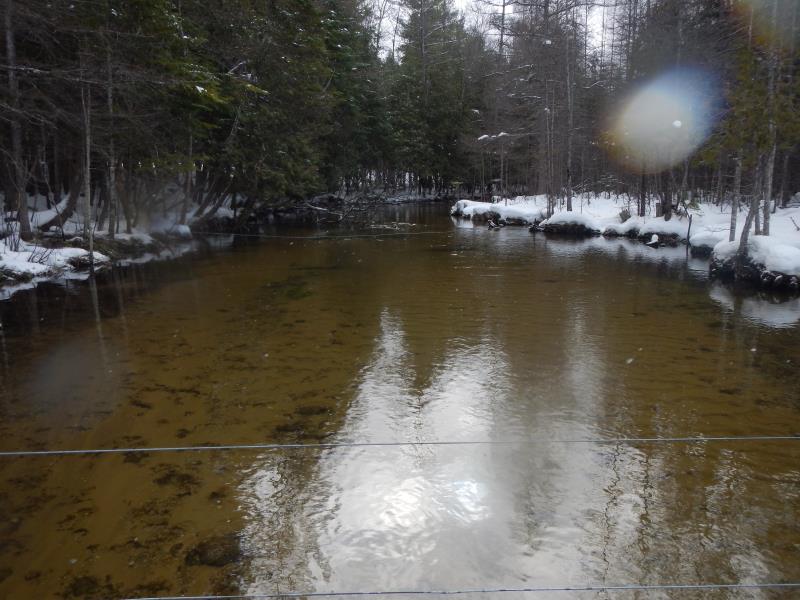
Upstream Conditions
Downstream Conditions
Crossing Information
Type of Crossing: Bridge
Structure Shape: Open Bottom Square/Rectangle
Inlet Type: Other
Outlet Type: Other
Structure Material: Wood
Structure Substrate: Mixture
General Conditions: Good
Dimensions of Structure: Length 40 ft.
, Width 30 ft.
, Height 12 ft.
Structure is NOT Perched
Structure Inlet
Water Depth: 1.79 ft.
Water Velocity*: 1.8 ft./sec.
Structure Outlet
Water Depth: 1.45 ft.
Water Velocity*: 2.31 ft./sec.
*Water Velocities were measured 1 ft. below Surface
(with Meter)
Additional Comments
Partial survey to verify fish passage
Stream Information
Stream Flow: Bankfull
Riffle Information
Water Depth: 2.3 ft.
Bankfull Width: 30 ft.
Wetted Width: 25 ft.
Water Velocity: 1.65 ft./sec.
(Measured with Meter)
Road Information
Paved
County Road
Road Condition: Good
Erosion Information
Summary Information
Fish Passability 0.5
�