Road Stream Crossing Site MI-04
Crooked River Watershed, Minnehaha Creek
Maxwell Rd
Springvale Twp,
Emmet County
Information collected by:
Site Location
GPS Coordinates: 45.334138
, -84.817747
T34N
R03W
Sec 17
Fish Passability 0
Perch Height: 2 ft.
Total Erosion: 1.0589 tons/year
Severity: Severe
Year Inventoried: 2016
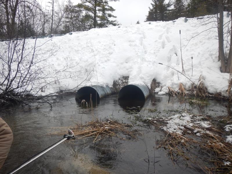
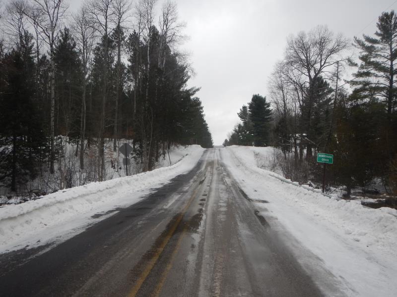
Inlet
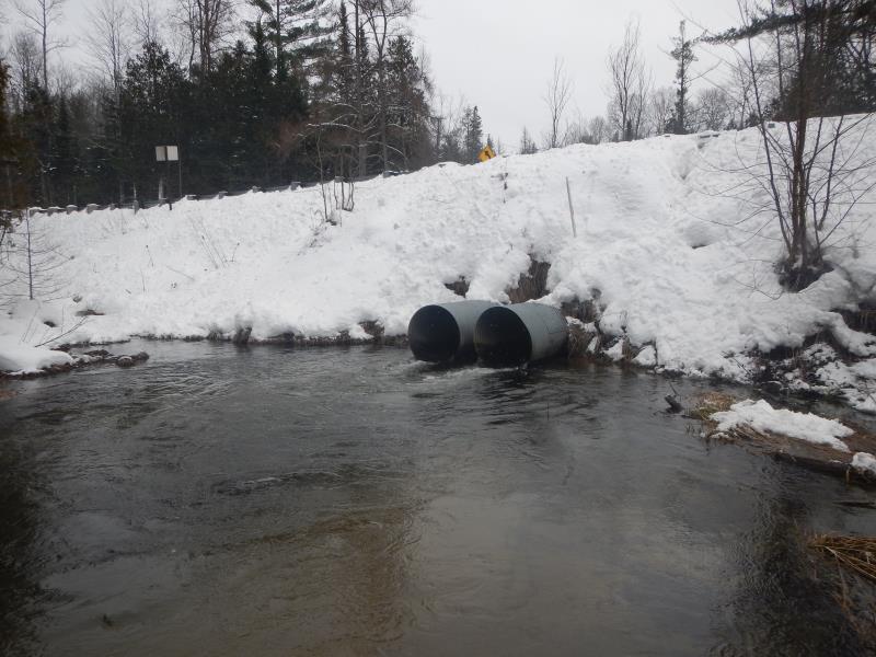
Outlet
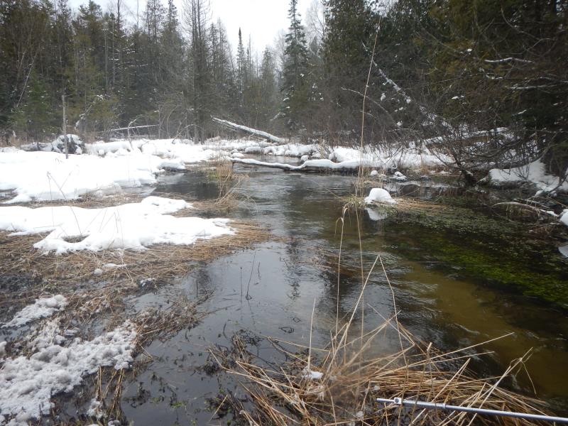
Upstream Conditions
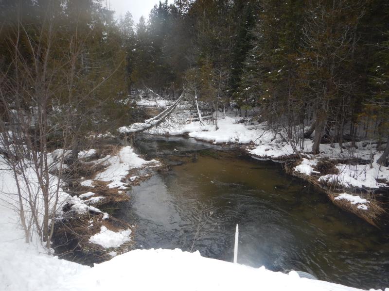
Downstream Conditions
Road Approach - Left
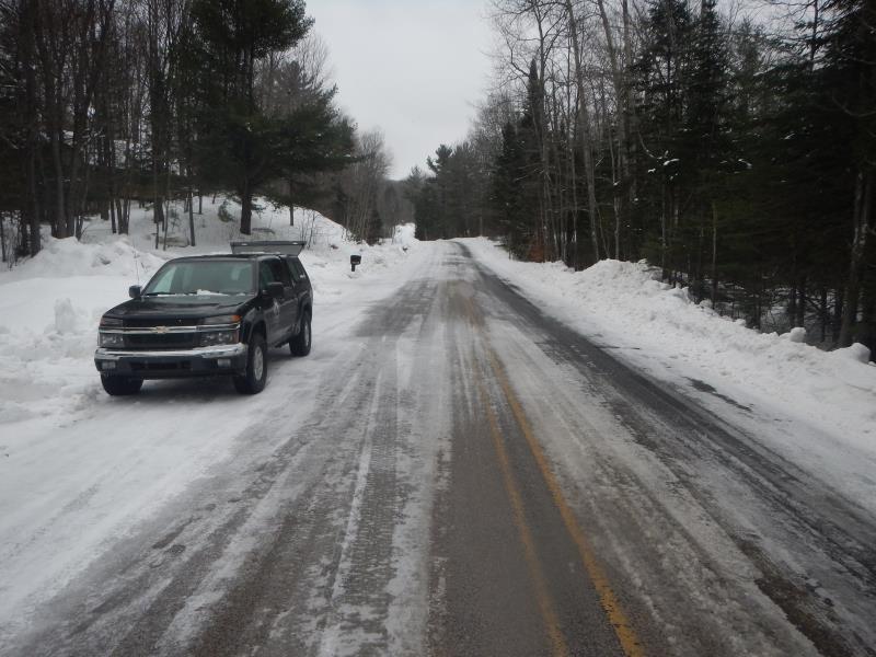
Road Approach - Right
Crossing Information
Type of Crossing: culvert(s)
Number of Structures: 2
Structure Shape: Round
Inlet Type: Projecting
Outlet Type: At Stream Grade
Structure Material: Metal
Structure Substrate: None
General Conditions: Good
Multiple Culverts/Spans | ||||
Culvert/Span | Width | Length | Height | Material |
1 |
3 ft. |
68 ft. |
3 ft. |
Metal |
2 |
3 ft. |
68 ft. |
3 ft. |
Metal |
Structure Interior: corrugated
Dimensions of Structure: Length 68 ft.
, Width 3 ft.
, Height 3 ft.
Perch Height: 2 ft.
Structure Inlet
Water Depth: 1.4 ft.
Embedded Depth of Structure: 0 ft.
Water Velocity*: 1.35 ft./sec.
Structure Outlet
Water Depth: 0.7 ft.
Embedded Depth of Structure: 0 ft.
Water Velocity*: 5.46 ft./sec.
*Water Velocities were measured 0.6 ft. below Surface
(with Meter)
Stream Information
Stream Flow: Less than Bankfull
Riffle Information
Water Depth: 1.25 ft.
Bankfull Width: 20 ft.
Wetted Width: 18.41 ft.
Water Velocity: 1.1 ft./sec.
(Measured with Meter)
Dominant Substrate: Sand
Road Information
Paved
County Road
Road Condition: Fair
Road Width at Culvert: 32 ft.
Location of Low Point: At Stream
Runoff Path: Ditch
Embankments
Upstream
Fill Depth: 6.41 ft.
Slope: 1:1
Downstream
Fill Depth: 7.91 ft.
Slope: 1:1
Approaches
Left Approach
Length: 150 ft.
Slope: 6% to 10%
Vegetation: Partial
LS Factor: 1.26
Erosion: 0 tons/year
Right Approach
Length: 400 ft.
Slope: 6% to 10%
Vegetation: Partial
LS Factor: 2.03
Erosion: 0 tons/year
Erosion Information
Total Erosion at Crossing: 1.0589 tons/year
Notes: Survey during snow conditions, difficult to detect erosion
Summary Information
Fish Passability 0
Fish Passage is an area of concern for this site.
Perch; velocity
�