Road Stream Crossing Site MI-05
Crooked River Watershed, Minnehaha Creek
Newson Rd
Springvale Twp,
Emmet County
Information collected by:
Site Location
GPS Coordinates: 45.319609
, -84.814757
T34N
R03W
Sec 20
Fish Passability 0.5
Structure is NOT Perched
Total Erosion: 0.7959 tons/year
Severity: Moderate
Year Inventoried: 2016
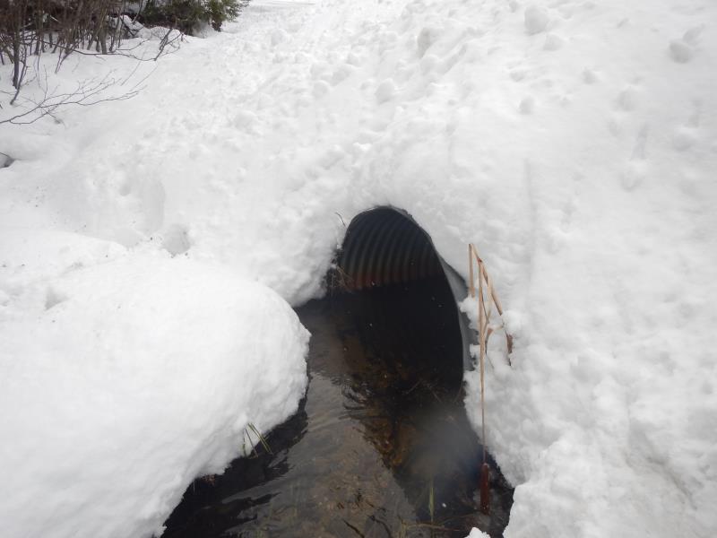
Inlet
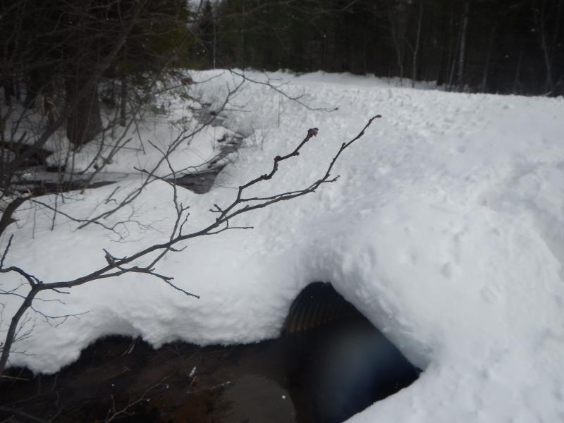
Outlet
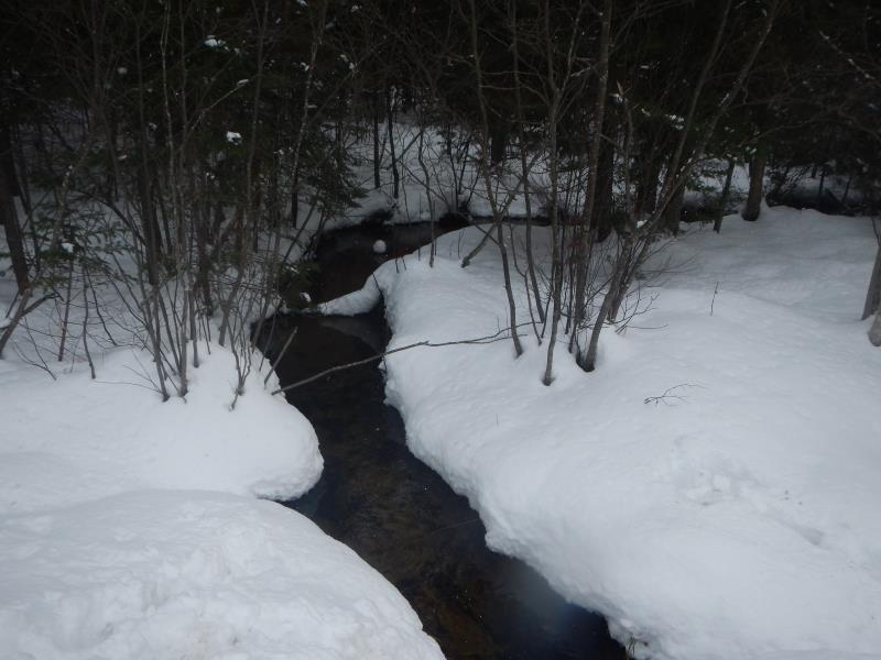
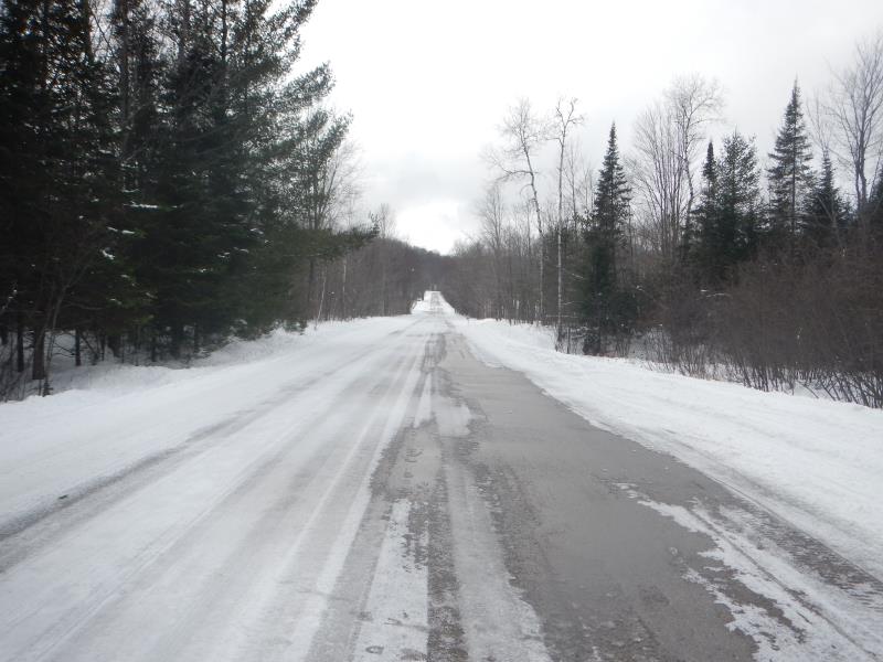
Upstream Conditions
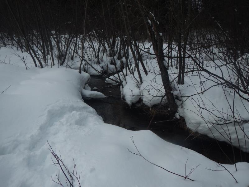
Downstream Conditions
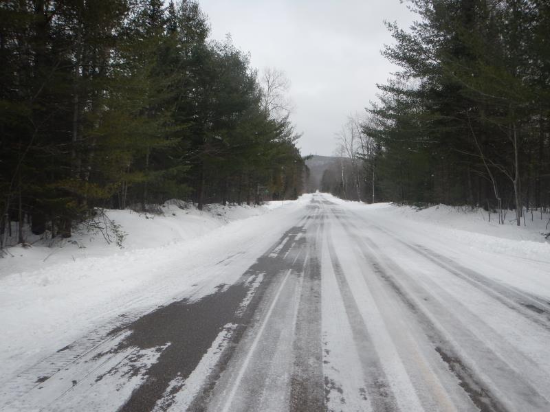
Road Approach - Left
Road Approach - Right
Crossing Information
Type of Crossing: culvert(s)
Number of Structures: 1
Structure Shape: Round
Inlet Type: Projecting
Outlet Type: At Stream Grade
Structure Material: Metal
Structure Substrate: None
General Conditions: Fair
Structure Interior: corrugated
Dimensions of Structure: Length 45 ft.
, Width 4.3 ft.
, Height 3.3 ft.
Percentage Crushed:
Inlet: 0%
Outlet: 0%
In Pipe: 1% to 25%
Structure is NOT Perched
Structure Inlet
Water Depth: 0.8 ft.
Embedded Depth of Structure: 0 ft.
Water Velocity*: 0.87 ft./sec.
Structure Outlet
Water Depth: 0.78 ft.
Embedded Depth of Structure: 0 ft.
Water Velocity*: 0.48 ft./sec.
*Water Velocities were measured 0.4 ft. below Surface
(with Meter)
Stream Information
Stream Flow: Less than Bankfull
Riffle Information
Water Depth: 0.68 ft.
Bankfull Width: 6 ft.
Wetted Width: 5.25 ft.
Water Velocity: 0.8 ft./sec.
(Measured with Meter)
Dominant Substrate: Sand
Road Information
Paved
County Road
Road Condition: Fair
Road Width at Culvert: 30 ft.
Location of Low Point: At Stream
Runoff Path: Ditch
Embankments
Upstream
Fill Depth: 1.58 ft.
Slope: 1:2
Downstream
Fill Depth: 2.08 ft.
Slope: 1:2
Approaches
Left Approach
Length: 50 ft.
Slope: Less Than 1%
Vegetation: Partial
LS Factor: 0.05
Erosion: 0 tons/year
Right Approach
Length: 1000 ft.
Slope: 1% to 5%
Vegetation: Partial
LS Factor: 0.8
Erosion: 0 tons/year
Erosion Information
Total Erosion at Crossing: 0.7959 tons/year
Notes: Winter Survey; difficult to see erosion
Summary Information
Fish Passability 0.5
�