Road Stream Crossing Site ST004
Sturgeon River Watershed, Twin Lakes Creek
Roberts Lake Rd
Koehler Twp,
Cheboygan County
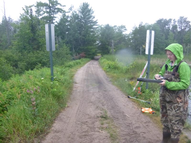
Information collected by:
Site Location
GPS Coordinates: 45.391941
, -84.557991
T35N
R02W
Sec 28
Owned by State
Fish Passability 0
Structure is NOT Perched
Total Erosion: 0 tons/year
Severity: Minor
Year Inventoried: 2015
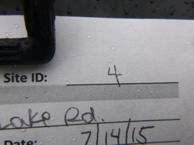
Site ID
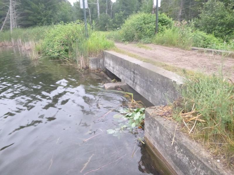
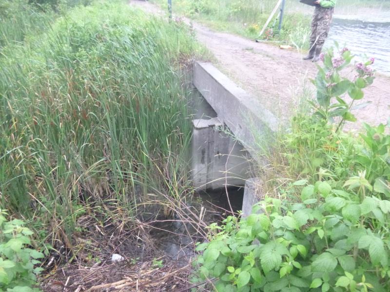
Inlet
Outlet
Downstream Conditions
Upstream Conditions
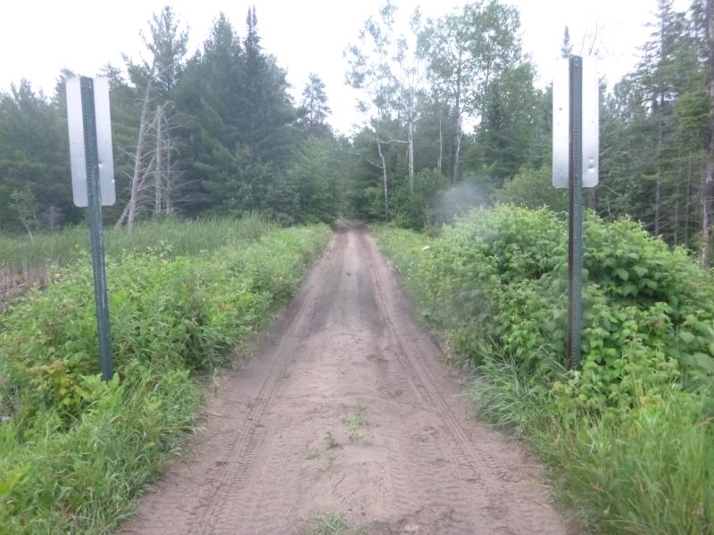
Road Approach - Left
Road Approach - Right
Crossing Information
Type of Crossing: Bridge
Structure Shape: Open Bottom Square/Rectangle
Inlet Type: Trash Rack
Outlet Type: At Stream Grade
Structure Material: Concrete
Structure Substrate: Sand
General Conditions: Good
Structure Interior: smooth
Dimensions of Structure: Length 12.7 ft.
, Width 6.4 ft.
, Height 4.7 ft.
Percentage Plugged:
Inlet: 51% to 75%
Outlet: 0%
In Pipe: 0%
Structure is NOT Perched
Structure Inlet
Water Depth: 0.8 ft.
Embedded Depth of Structure: 0 ft.
Water Velocity*: 0.1 ft./sec.
Structure Outlet
Water Depth: 0.7 ft.
Embedded Depth of Structure: 0 ft.
Water Velocity*: 0.1 ft./sec.
*Water Velocities were measured 0.4 ft. below Surface
(with Meter)
Additional Comments
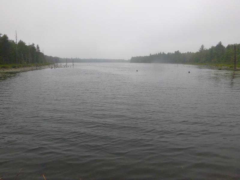
Outlet of lake; upstream pond is a lake
Stream Information
Stream Flow: Less than Bankfull
Scour Pool: Length 0 ft.
, Width 0 ft.
, Depth 0 ft.
Upstream Pond: Length 2000 ft.
, Width 1000 ft.
, Depth 5 ft.
Road Information
Sand
State Road
(Seasonal)
Road Condition: Fair
Road Width at Culvert: 8.9 ft.
Location of Low Point: Other
Runoff Path: Ditch
Fill Depth: 0 ft.
Slope: Vertical
Fill Depth: 0 ft.
Slope: Vertical
Approaches
Left Approach
Length: 0 ft.
Slope: Less Than 1%
Vegetation: Heavy
LS Factor: 0.05
Erosion: 0 tons/year
Right Approach
Length: 0 ft.
Slope: Less Than 1%
Vegetation: Heavy
LS Factor: 0.05
Erosion: 0 tons/year
Erosion Information
Total Erosion at Crossing: 0 tons/year
Summary Information
Fish Passability 0
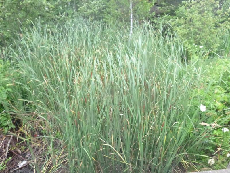
These non-native species were observerd at this site: Narrow leaf cattail
�