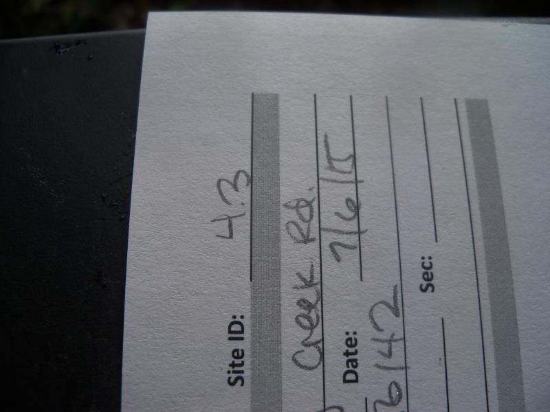
Road Stream Crossing Site ST004.3
Sturgeon River Watershed, Crumley Creek tributary
Crumley Creek Rd
Ellis Twp,
Cheboygan County
Information collected by:
Site Location
GPS Coordinates: 45.37482
, -84.561553
T34N
R02W
Sec 4
Owned by Private
Fish Passability 0
Perch Height: 0.2 ft.
Total Erosion: 1.0891 tons/year
Severity: Severe
Year Inventoried: 2015
Site ID
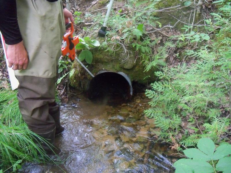
Inlet
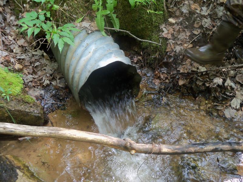
Outlet
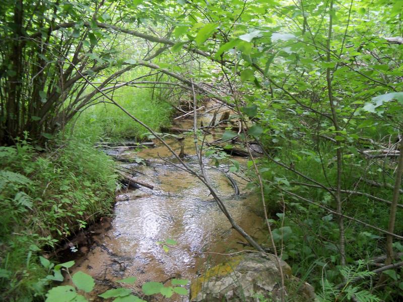
Upstream Conditions
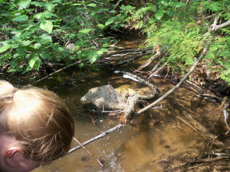
Downstream Conditions
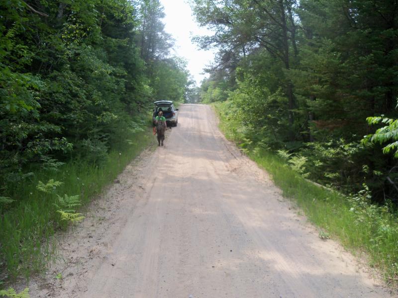
Road Approach - Left
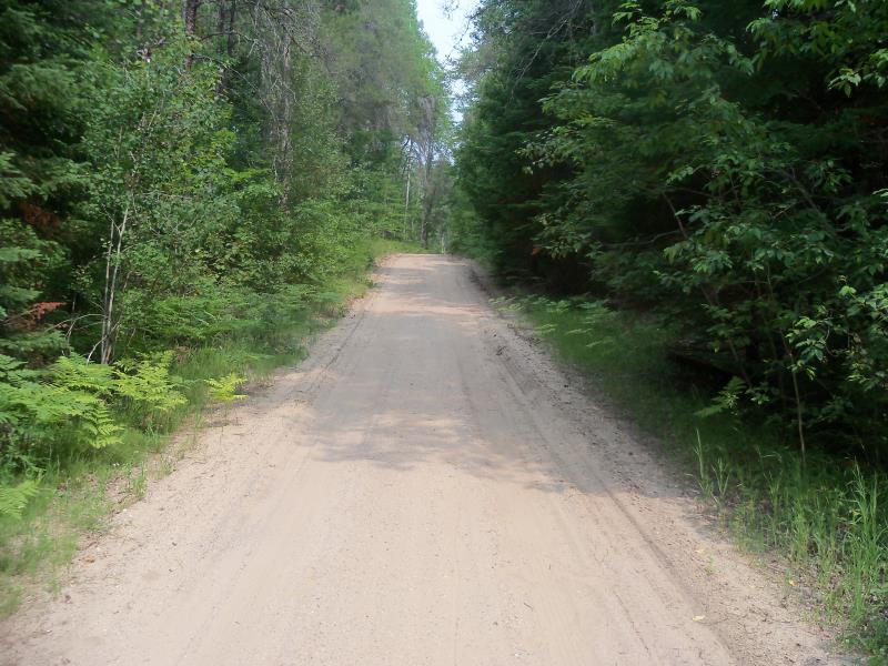
Road Approach - Right
Crossing Information
Type of Crossing: culvert(s)
Number of Structures: 1
Structure Shape: Round
Inlet Type: Projecting
Outlet Type: At Stream Grade
Structure Material: Metal
Structure Substrate: None
General Conditions: Fair
Structure Interior: corrugated
Dimensions of Structure: Length 46.5 ft.
, Width 1.4 ft.
, Height 1.2 ft.
Perch Height: 0.2 ft.
Structure Inlet
Water Depth: 0.4 ft.
Embedded Depth of Structure: 0 ft.
Water Velocity*: 2.2 ft./sec.
Structure Outlet
Water Depth: 0.2 ft.
Embedded Depth of Structure: 0 ft.
Water Velocity*: 5.1 ft./sec.
*Water Velocities were measured 0.1 ft. below Surface
(with Meter)
Stream Information
Stream Flow: Less than Bankfull
Scour Pool: Length 10 ft.
, Width 7.9 ft.
, Depth 1 ft.
Upstream Pond: Length 0 ft.
, Width 0 ft.
, Depth 0 ft.
Riffle Information
Water Depth: 0.6 ft.
Bankfull Width: 6.6 ft.
Wetted Width: 3.6 ft.
Water Velocity: 0.9 ft./sec.
(Measured with Meter)
Dominant Substrate: Sand
Road Information
Sand
County Road
Road Condition: Fair
Road Width at Culvert: 15.6 ft.
Location of Low Point: At Stream
Runoff Path: Ditch
Embankments
Upstream
Fill Depth: 8.5 ft.
Slope: 1:1.5
Downstream
Fill Depth: 10.9 ft.
Slope: 1:1.5
Approaches
Left Approach
Length: 255.3 ft.
Slope: 1% to 5%
Vegetation: Heavy
LS Factor: 0.442
Erosion: 0.4851 tons/year
Right Approach
Length: 304.9 ft.
Slope: 1% to 5%
Vegetation: Heavy
LS Factor: 0.461
Erosion: 0.604 tons/year
Erosion Information
Total Erosion at Crossing: 1.0891 tons/year
Summary Information
Fish Passability 0
Fish Passage is an area of concern for this site.
Perched, high velocity, small culvert
�