Road Stream Crossing Site ST005
Sturgeon River Watershed, Sturgeon River
White Rd
Mentor Twp,
Cheboygan County
Information collected by:
Site Location
GPS Coordinates: 45.371983
, -84.62435
T34N
R03W
Sec 1
Owned by Private
Fish Passability 1
Structure is NOT Perched
Total Erosion: 0.5066 tons/year
Severity: Moderate
Year Inventoried: 2015
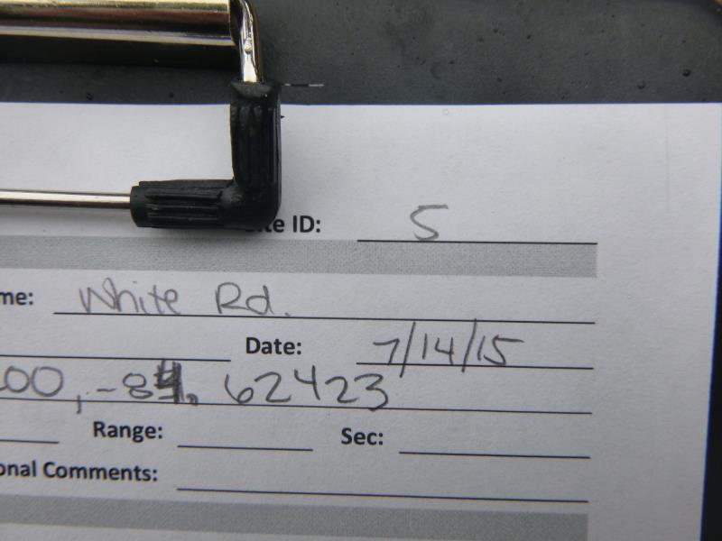
Site ID
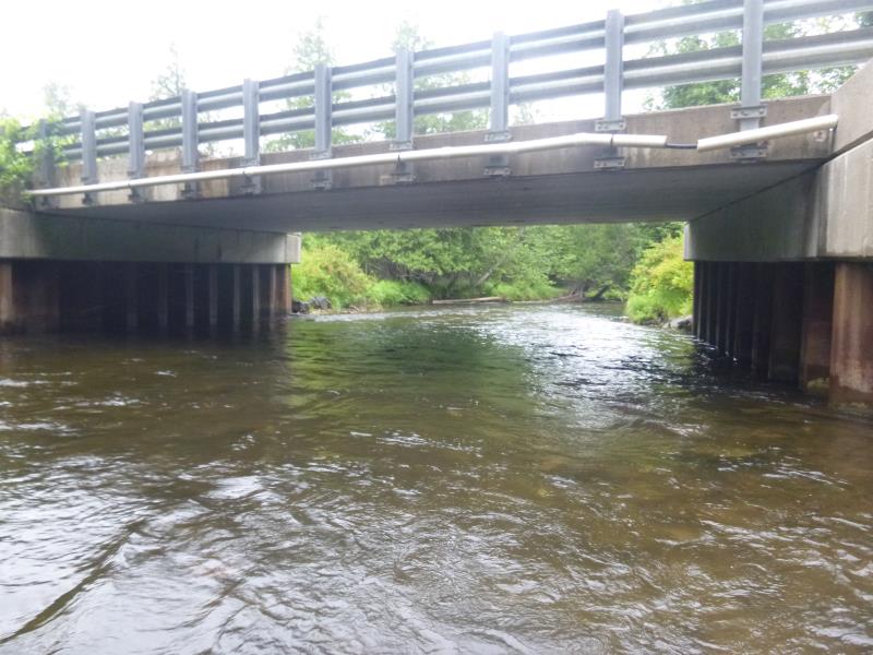
Inlet
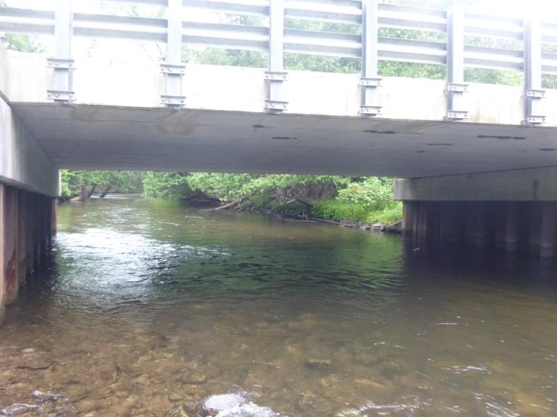
Outlet
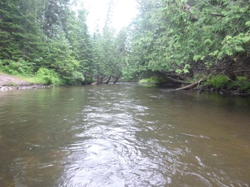
Upstream Conditions
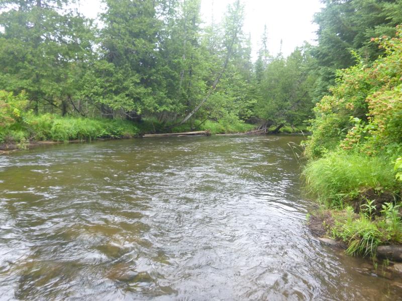
Downstream Conditions
Road Approach - Left
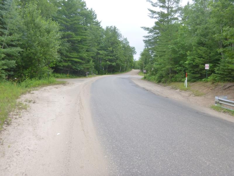
Road Approach - Right
Crossing Information
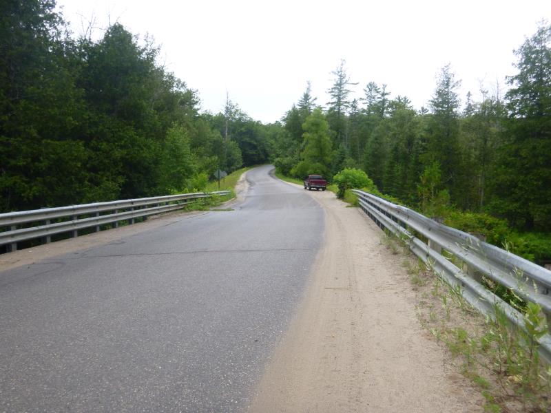
Type of Crossing: Bridge
Structure Shape: Open Bottom Square/Rectangle
Inlet Type: Other
Outlet Type: At Stream Grade
Structure Material: Concrete
Structure Substrate: Mixture
General Conditions: Good
Structure Interior: smooth
Dimensions of Structure: Length 37.2 ft.
, Width 42.2 ft.
, Height 10.2 ft.
Structure is NOT Perched
Structure Inlet
Water Depth: 2.5 ft.
Embedded Depth of Structure: 0 ft.
Water Velocity*: 2.9 ft./sec.
Structure Outlet
Water Depth: 3 ft.
Embedded Depth of Structure: 0 ft.
Water Velocity*: 3.6 ft./sec.
*Water Velocities were measured 2 ft. below Surface
(with Meter)
Additional Comments
Used as a public access point to the river
Stream Information
Stream Flow: Less than Bankfull
Scour Pool: Length 0 ft.
, Width 0 ft.
, Depth 0 ft.
Upstream Pond: Length 0 ft.
, Width 0 ft.
, Depth 0 ft.
Road Information
Paved
State Road
Road Condition: Good
Road Width at Culvert: 30.3 ft.
Location of Low Point: Other
Runoff Path: Ditch
Fill Depth: 0 ft.
Slope: Vertical
Fill Depth: 0 ft.
Slope: Vertical
Approaches
Left Approach
Length: 0 ft.
Slope: Less Than 1%
Vegetation: Heavy
LS Factor: 0.05
Erosion: 0 tons/year
Right Approach
Length: 643 ft.
Slope: 1% to 5%
Vegetation: Partial
LS Factor: 0.695
Erosion: 0.4477 tons/year
Erosion Information
Total Erosion at Crossing: 0.5066 tons/year
Extent of Erosion: Moderate
Erosion is occurring and corrective actions can be installed to address the problem.
Notes: Access point- steps, could use more vegetation in surrounding area
Location of Erosion | Erosion Dimensions | Eroded Material | Material Eroded | Total Erosion | ||
facing downstream | Length | Width | Depth | Reaching Stream? | (tons/year) | |
Right Upstream Streambank |
25.5 ft. |
43 ft. |
0.3 ft. |
yes |
Sand |
0.0589 |
Summary Information
Fish Passability 1
A future visit to this site is recommended. Monitor the erosion surrounding the steps
These non-native species were observerd at this site: Leafy spurge
�