Road Stream Crossing Site ST006.3
Sturgeon River Watershed, Little Sturgeon River tributary
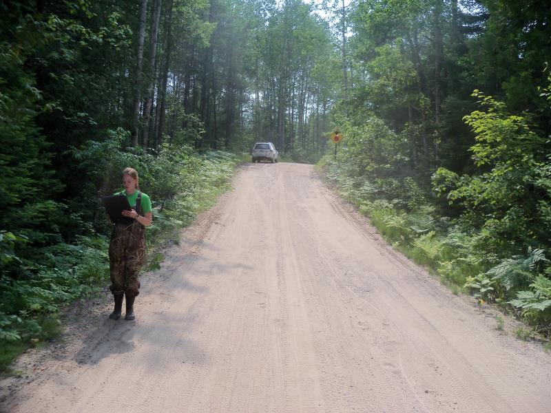
Crumley Creek Rd
Ellis Twp,
Cheboygan County
Information collected by:
Site Location
GPS Coordinates: 45.375001
, -84.577303
T34N
R02W
Sec 5
Owned by State
Fish Passability 0.5
Structure is NOT Perched
Total Erosion: 0.6843 tons/year
Severity: Moderate
Year Inventoried: 2015
Site ID

Outlet
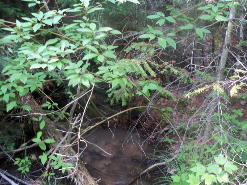
Downstream Conditions
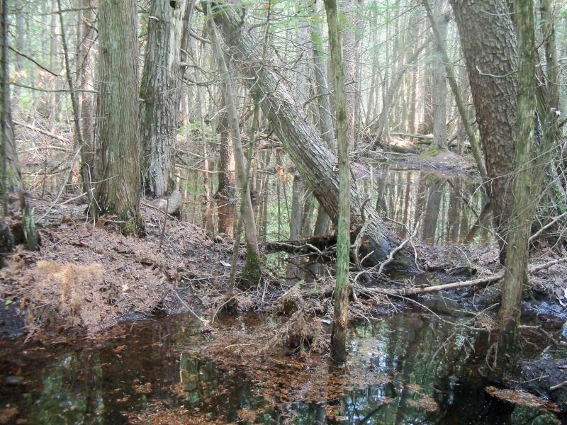
Upstream Conditions
Road Approach - Left
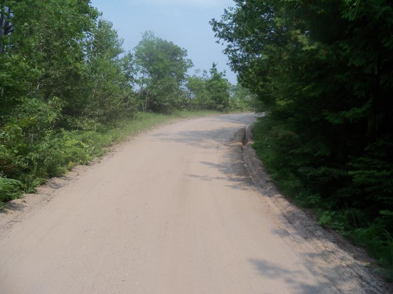
Road Approach - Right
Crossing Information
Type of Crossing: culvert(s)
Number of Structures: 1
Structure Shape: Round
Inlet Type: Other
Outlet Type: At Stream Grade
Structure Material: Metal
Structure Substrate: Mixture
General Conditions: Poor
Structure Interior: corrugated
Dimensions of Structure: Length 29.9 ft.
, Width 1.3 ft.
, Height 1.3 ft.
Percentage Plugged:
Inlet: 76% to 100%
Outlet: 0%
In Pipe: 1% to 25%
Structure is NOT Perched
Water Depth: 0 ft.
Embedded Depth of Structure: 1.3 ft.
Water Velocity*: 0.1 ft./sec.
Structure Outlet
Water Depth: 0.4 ft.
Embedded Depth of Structure: 0 ft.
Water Velocity*: 0.2 ft./sec.
Additional Comments
Outlet is undercutting below the culvert
Stream Information
Stream Flow: Less than Bankfull
Scour Pool: Length 0 ft.
, Width 0 ft.
, Depth 0 ft.
Upstream Pond: Length 50 ft.
, Width 50 ft.
Riffle Information
Water Depth: 0 ft.
Bankfull Width: 0 ft.
Wetted Width: 0 ft.
(Measured with Meter)
Road Information
Sand
County Road
Road Condition: Fair
Road Width at Culvert: 14.5 ft.
Location of Low Point: At Stream
Runoff Path: Ditch
Embankments
Upstream
Fill Depth: 4.3 ft.
Slope: 1:1.5
Downstream
Fill Depth: 5.5 ft.
Slope: 1:1.5
Approaches
Left Approach
Length: 186 ft.
Slope: 1% to 5%
Vegetation: Heavy
LS Factor: 0.422
Erosion: 0.3132 tons/year
Right Approach
Length: 214.6 ft.
Slope: 1% to 5%
Vegetation: Heavy
LS Factor: 0.433
Erosion: 0.3711 tons/year
Erosion Information
Total Erosion at Crossing: 0.6843 tons/year
Summary Information
Fish Passability 0.5
Fish Passage is an area of concern for this site.
Inlet is completely covered with sediment
A future visit to this site is recommended. Condition of inlet
�