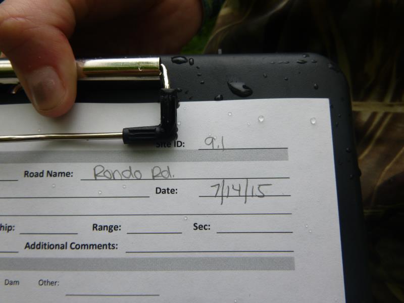
Road Stream Crossing Site ST009.1
Sturgeon River Watershed, Johnson Creek
Rondo Rd
Ellis Twp,
Cheboygan County
Information collected by:
Site Location
GPS Coordinates: 45.316547
, -84.573612
T34N
R02W
Sec 20
Owned by Private
Fish Passability 0.5
Structure is NOT Perched
Total Erosion: 0.2686 tons/year
Severity: Moderate
Year Inventoried: 2015
Site ID
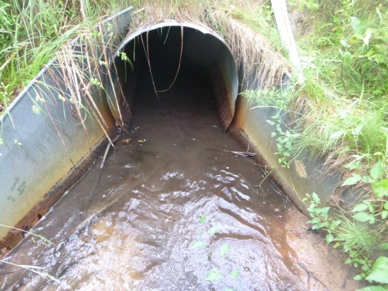
Inlet
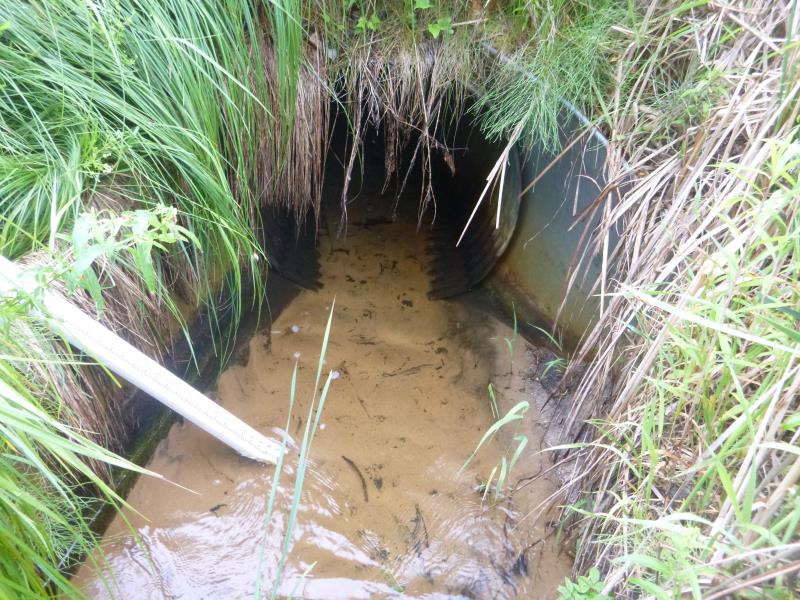
Outlet
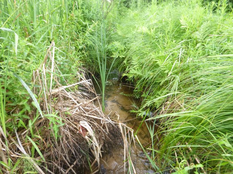
Downstream Conditions
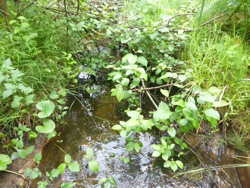
Upstream Conditions
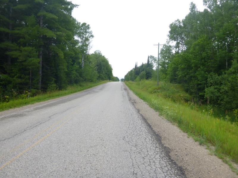
Road Approach - Left

Road Approach - Right
Crossing Information
Type of Crossing: culvert(s)
Number of Structures: 1
Structure Shape: Round
Inlet Type: Mitered
Outlet Type: At Stream Grade
Structure Material: Metal
Structure Substrate: None
General Conditions: Fair
Structure Interior: corrugated
Dimensions of Structure: Length 96.2 ft.
, Width 3.1 ft.
, Height 3.2 ft.
Percentage Plugged:
Inlet: 1% to 25%
Outlet: 0%
In Pipe: 0%
Percentage Crushed:
In Pipe: 1% to 25%
Structure is NOT Perched
Structure Inlet
Water Depth: 0.5 ft.
Embedded Depth of Structure: 0 ft.
Water Velocity*: 0.6 ft./sec.
Structure Outlet
Water Depth: 0.4 ft.
Embedded Depth of Structure: 0 ft.
Water Velocity*: 0.7 ft./sec.
*Water Velocities were measured 0.3 ft. below Surface
(with Meter)
Stream Information
Stream Flow: Less than Bankfull
Scour Pool: Length 0 ft.
, Width 0 ft.
, Depth 0 ft.
Upstream Pond: Length 0 ft.
, Width 0 ft.
, Depth 0 ft.
Riffle Information
Water Depth: 0.7 ft.
Bankfull Width: 3.7 ft.
Wetted Width: 3.3 ft.
Water Velocity: 0.4 ft./sec.
(Measured with Meter)
Dominant Substrate: Organics
Road Information
Paved
State Road
Road Condition: Good
Road Width at Culvert: 30.6 ft.
Location of Low Point: Other
Runoff Path: Ditch
Embankments
Upstream
Fill Depth: 11 ft.
Slope: More than 1:2
Downstream
Fill Depth: 11.6 ft.
Slope: More than 1:2
Approaches
Left Approach
Length: 0 ft.
Slope: Less Than 1%
Vegetation: Heavy
LS Factor: 0.05
Erosion: 0 tons/year
Right Approach
Length: 525.7 ft.
Slope: 1% to 5%
Vegetation: Heavy
LS Factor: 0.505
Erosion: 0.2686 tons/year
Erosion Information
Total Erosion at Crossing: 0.2686 tons/year
Summary Information
Fish Passability 0.5
A future visit to this site is recommended. Invasives
These non-native species were observerd at this site: Wild parsnip, purple loosestrife, leafy spurge
�