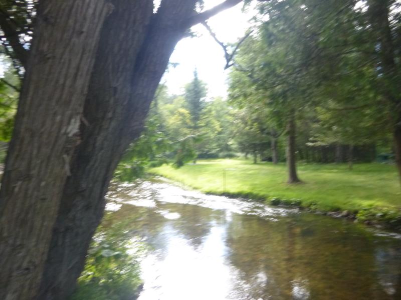
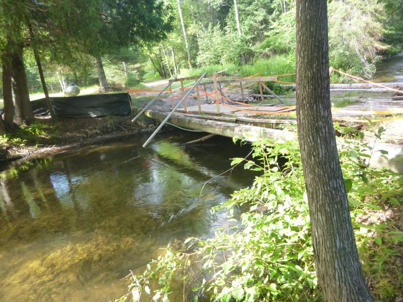
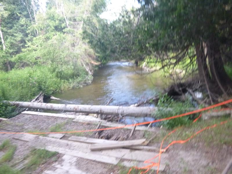
Road Stream Crossing Site ST025
Sturgeon River Watershed, Sturgeon River
South Straits Highway
Wilmot Twp,
Cheboygan County
Information collected by:
Site Location
GPS Coordinates: 45.255616
, -84.628458
T33N
R03W
Sec 14
Owned by Private
Total Erosion: 0 tons/year
Year Inventoried: 2015
Other
Other
Other
Other
Other
Other
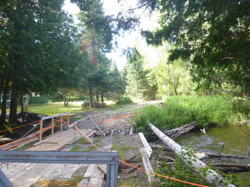
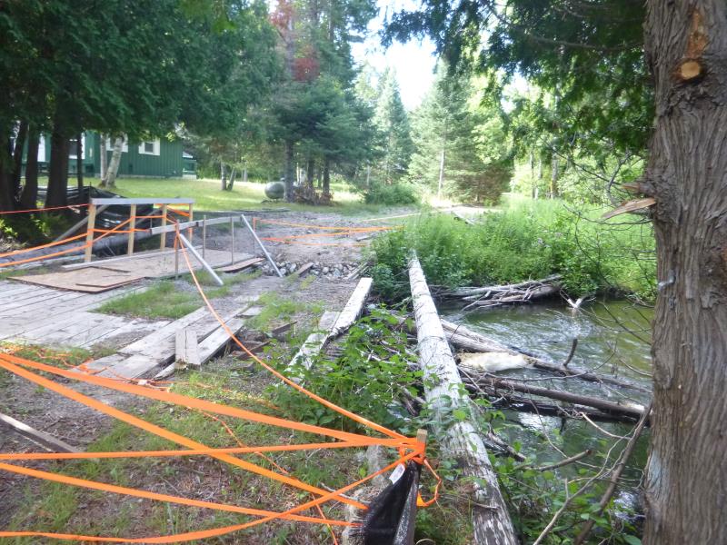
Crossing Information
Type of Crossing: Bridge
Additional Comments
Not fully inventoried; Currently in the middle of construction
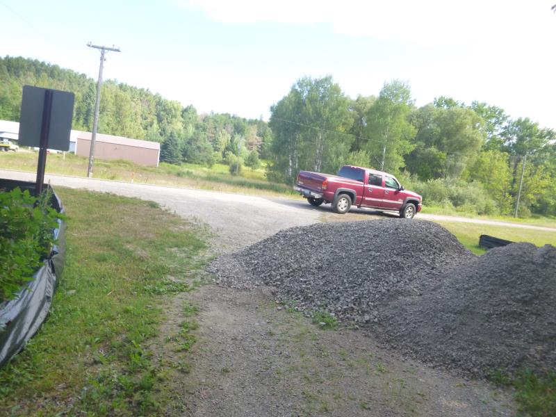
Road Information
Paved
County Road
Road Condition: Good
Erosion Information
Total Erosion at Crossing: 0 tons/year
Summary Information
A future visit to this site is recommended. In the middle of construction currently, no data collected
�