Road Stream Crossing Site ST030
Sturgeon River Watershed, West Branch Sturgeon River
McEachron Rd
Wilmot Twp,
Cheboygan County
Information collected by:
Site Location
GPS Coordinates: 45.248969
, -84.676738
T33N
R03W
Sec 16
Owned by State
Fish Passability 1
Structure is NOT Perched
Total Erosion: 2.0365 tons/year
Severity: Moderate
Year Inventoried: 2015
Site ID
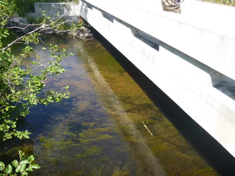
Inlet

Inlet
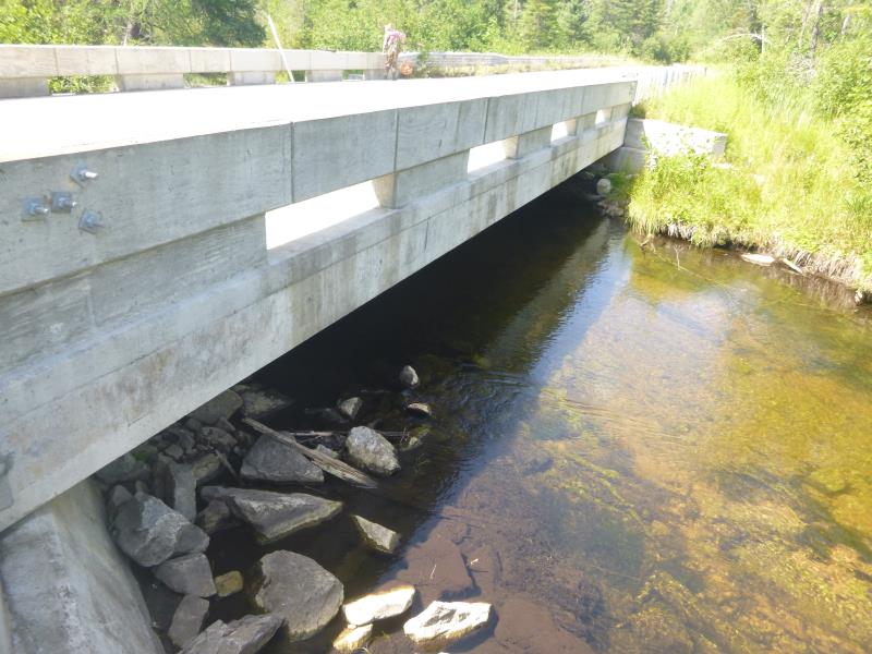
Outlet
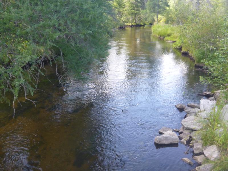
Upstream Conditions
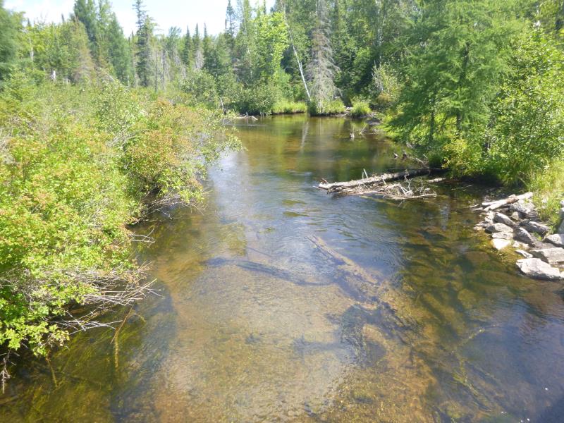
Downstream Conditions
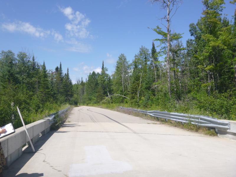
Road Approach - Left
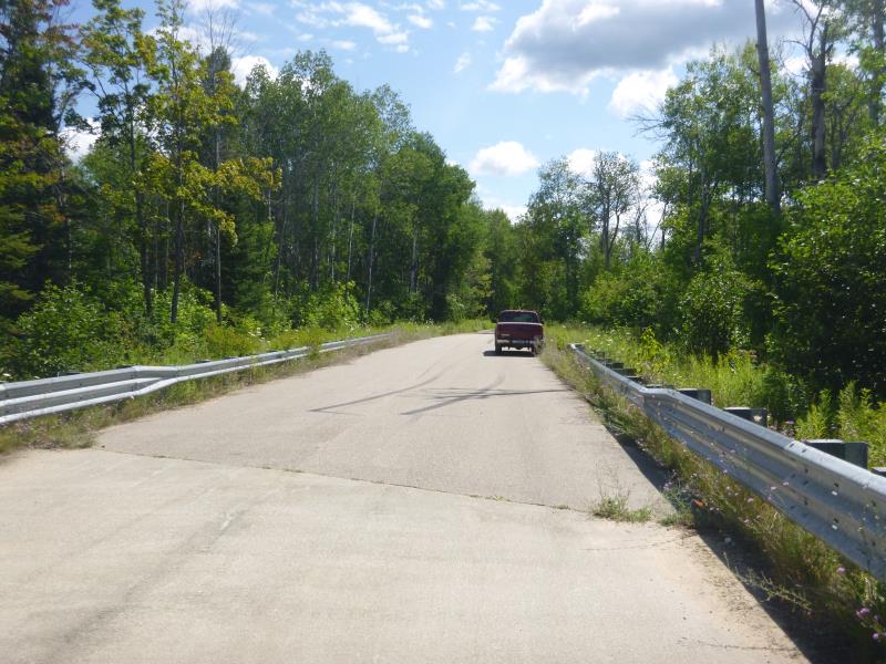
Road Approach - Right
Crossing Information
Type of Crossing: Bridge
Structure Shape: Open Bottom Square/Rectangle
Inlet Type: Wingwall 10-30 Degree
Outlet Type: At Stream Grade
Structure Material: Concrete
Structure Substrate: Mixture
General Conditions: Good
Structure Interior: smooth
Dimensions of Structure: Length 44 ft.
, Width 50 ft.
, Height 4.7 ft.
Structure is NOT Perched
Structure Inlet
Water Depth: 1.9 ft.
Embedded Depth of Structure: 0 ft.
Water Velocity*: 2.5 ft./sec.
Structure Outlet
Water Depth: 1.8 ft.
Embedded Depth of Structure: 0 ft.
Water Velocity*: 2.5 ft./sec.
*Water Velocities were measured at the Surface
(with Float Test)
Stream Information
Stream Flow: Less than Bankfull
Scour Pool: Length 0 ft.
, Width 0 ft.
, Depth 0 ft.
Upstream Pond: Length 0 ft.
, Width 0 ft.
, Depth 0 ft.
Road Information
Gravel
State Road
Road Condition: Good
Road Width at Culvert: 25.3 ft.
Location of Low Point: At Stream
Runoff Path: Ditch
Fill Depth: 0 ft.
Slope: Vertical
Fill Depth: 0 ft.
Slope: Vertical
Approaches
Left Approach
Length: 224 ft.
Slope: 1% to 5%
Vegetation: Heavy
LS Factor: 0.435
Erosion: 0.6788 tons/year
Right Approach
Length: 405 ft.
Slope: 1% to 5%
Vegetation: Heavy
LS Factor: 0.481
Erosion: 1.3577 tons/year
Erosion Information
Total Erosion at Crossing: 2.0365 tons/year
Summary Information
Fish Passability 1
These non-native species were observerd at this site: Wild parsnip, queen Anne's lace, spotted knapweed
�