Road Stream Crossing Site ST037
Sturgeon River Watershed, Bradley Creek tributary
Molineaux Rd
Nunda Twp,
Cheboygan County
Information collected by:
Site Location
GPS Coordinates: 45.24026
, -84.56989
T33N
R02W
Sec 20
Owned by Private
Fish Passability 0
Perch Height: 1.1 ft.
Total Erosion: 1.0091 tons/year
Severity: Severe
Year Inventoried: 2015
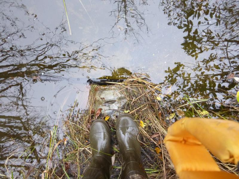
Inlet
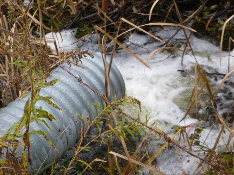
Outlet
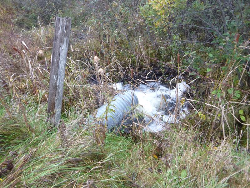
Downstream Conditions
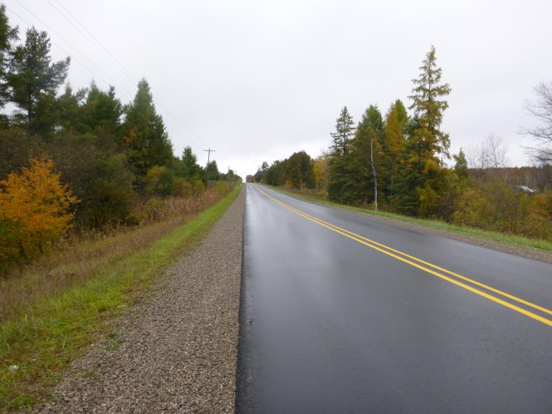
Road Approach - Left
Crossing Information
Type of Crossing: culvert(s)
Number of Structures: 1
Structure Shape: Round
Inlet Type: Projecting
Outlet Type: Freefall into Pool
Structure Material: Metal
Structure Substrate: None
General Conditions: Poor
Structure Interior: corrugated
Dimensions of Structure: Length 80 ft.
, Width 1.5 ft.
, Height 1.5 ft.
Percentage Crushed:
Inlet: 1% to 25%
Outlet: 0%
In Pipe: 0%
Perch Height: 1.1 ft.
Structure Inlet
Water Depth: 1.2 ft.
Embedded Depth of Structure: 0.1 ft.
Water Velocity*: 5.7 ft./sec.
Structure Outlet
Water Depth: 0.4 ft.
Embedded Depth of Structure: 0 ft.
Water Velocity*: 5.7 ft./sec.
*Water Velocities were measured at the Surface
(with Float Test)
Stream Information
Stream Flow: Less than Bankfull
Scour Pool: Length 10.3 ft.
, Width 8.7 ft.
, Depth 1.8 ft.
Upstream Pond: Length 14 ft.
, Width 15 ft.
, Depth 2.1 ft.
Riffle Information
Water Depth: 0.8 ft.
Bankfull Width: 4.5 ft.
Wetted Width: 2.9 ft.
Water Velocity: 0.45 ft./sec.
(Measured with Float Test)
Dominant Substrate: Sand
Road Information
Paved
County Road
Road Condition: Good
Road Width at Culvert: 33 ft.
Location of Low Point: At Stream
Runoff Path: Ditch
Embankments
Upstream
Fill Depth: 6.6 ft.
Slope: 1:2
Downstream
Fill Depth: 7.2 ft.
Slope: More than 1:2
Approaches
Left Approach
Length: 243 ft.
Slope: 1% to 5%
Vegetation: Partial
LS Factor: 0.514
Erosion: 0.1364 tons/year
Right Approach
Length: 1000 ft.
Slope: 1% to 5%
Vegetation: Partial
LS Factor: 0.8
Erosion: 0.8727 tons/year
Erosion Information
Total Erosion at Crossing: 1.0091 tons/year
Extent of Erosion: Minor
Summary Information
Fish Passability 0
Fish Passage is an area of concern for this site.
A future visit to this site is recommended. Perched culvert and high water velocity
�