Road Stream Crossing Site ST044
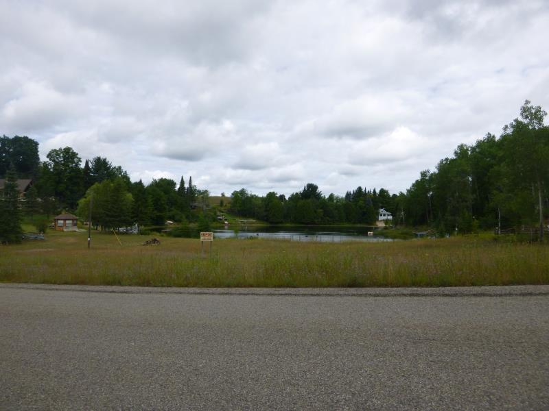
Sturgeon River Watershed, Wildwood Lake Outlet
Lois Lane
Nunda Twp,
Cheboygan County
Information collected by:
Site Location
GPS Coordinates: 45.231609
, -84.563506
T33N
R02W
Sec 21
Owned by Private
Fish Passability 0
Structure is NOT Perched
Total Erosion: 0.5664 tons/year
Severity: Minor
Year Inventoried: 2015
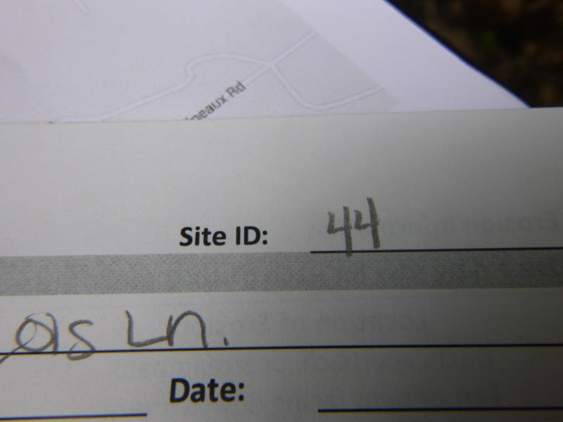
Site ID
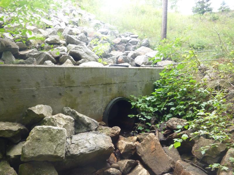
Outlet
Downstream Conditions
Upstream Conditions
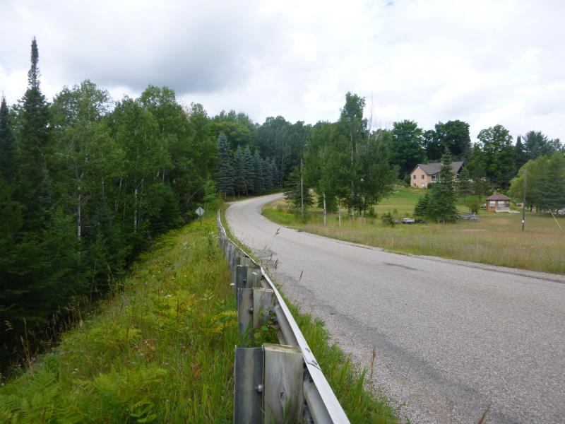
Road Approach - Left
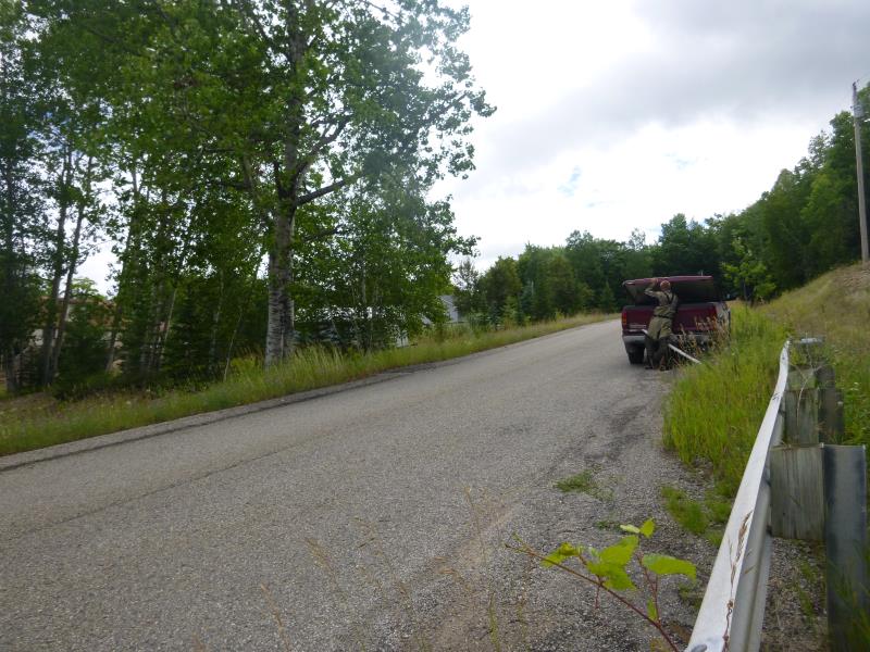
Road Approach - Right
Crossing Information
Type of Crossing: Dam
Structure Shape: Round
Inlet Type: Other
Outlet Type: At Stream Grade
Structure Material: Metal
Structure Substrate: None
General Conditions: Good
Structure Interior: smooth
Dimensions of Structure: Length 500 ft.
, Width 2.6 ft.
, Height 2.6 ft.
Structure is NOT Perched
Structure Outlet
Water Depth: 0.2 ft.
Embedded Depth of Structure: 0.1 ft.
Water Velocity*: 0.3 ft./sec.
Additional Comments
Outlet dam of Wildwood lake; unable to access the inlet due to private property of the dam
Stream Information
Stream Flow: Less than 1/2 Bankfull
Scour Pool: Length 0 ft.
, Width 0 ft.
, Depth 0 ft.
Upstream Pond: Length 0 ft.
, Width 0 ft.
, Depth 0 ft.
Road Information
Paved
County Road
Road Condition: Good
Road Width at Culvert: 24.2 ft.
Location of Low Point: At Stream
Runoff Path: Ditch
Fill Depth: 20 ft.
Slope: 1:1.5
Approaches
Left Approach
Length: 1000 ft.
Slope: 1% to 5%
Vegetation: Heavy
LS Factor: 0.57
Erosion: 0.456 tons/year
Right Approach
Length: 300 ft.
Slope: 1% to 5%
Vegetation: Heavy
LS Factor: 0.46
Erosion: 0.1104 tons/year
Erosion Information
Total Erosion at Crossing: 0.5664 tons/year
Summary Information
Fish Passability 0
Fish Passage is an area of concern for this site.
A future visit to this site is recommended. Dams currently shut down, very little flow coming out of lake (effecting downstream areas)
�