Road Stream Crossing Site ST055
Sturgeon River Watershed, Sturgeon River tributary
North Central State Trail
Nunda Twp,
Cheboygan County
Information collected by:
Site Location
GPS Coordinates: 45.215498
, -84.592195
T33N
R02W
Sec 31
Owned by Private
Fish Passability 1
Structure is NOT Perched
Total Erosion: 1.1301 tons/year
Severity: Moderate
Year Inventoried: 2015
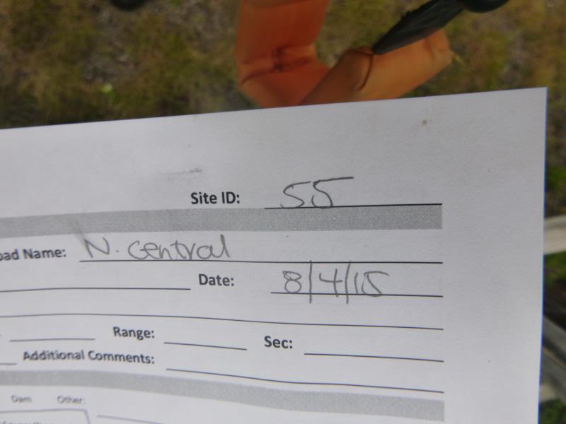
Site ID
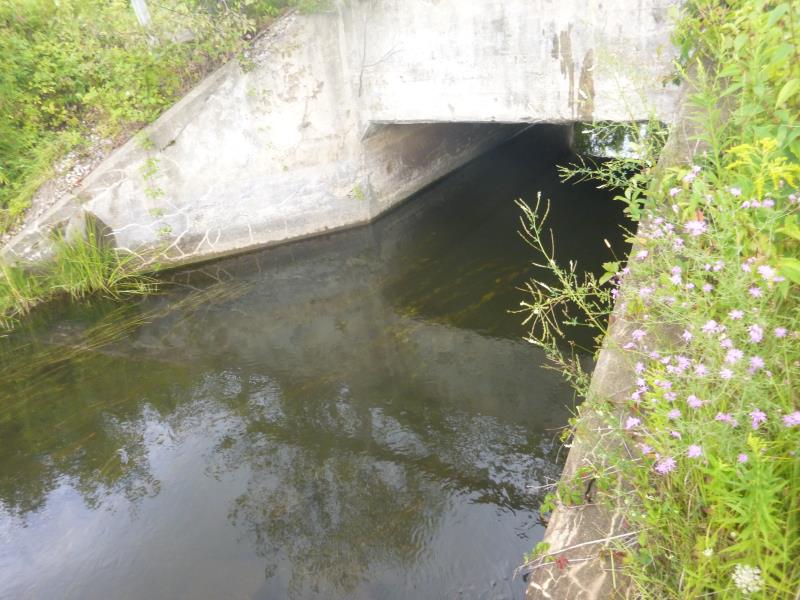
Inlet
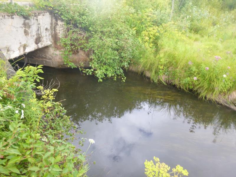
Outlet
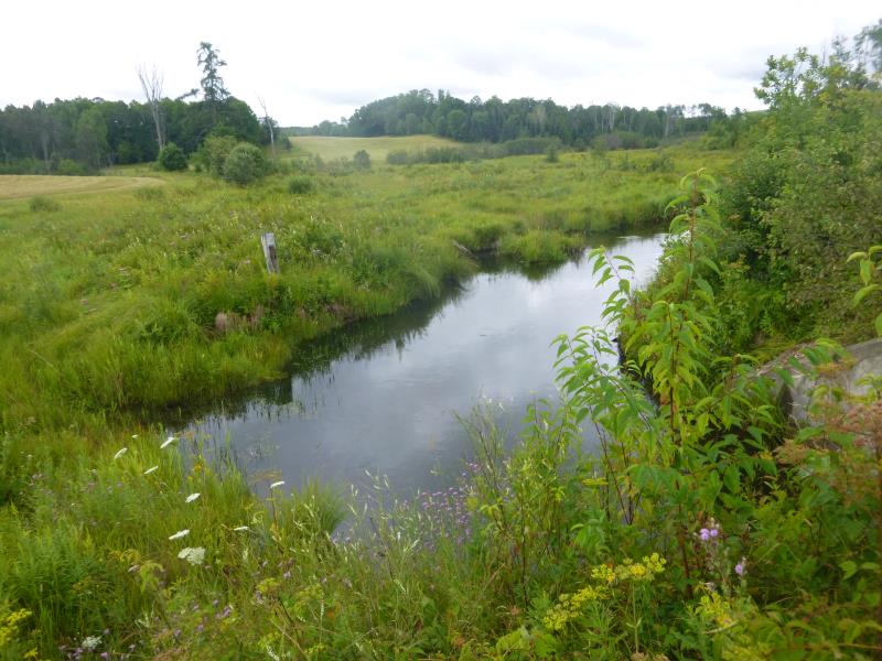
Upstream Conditions
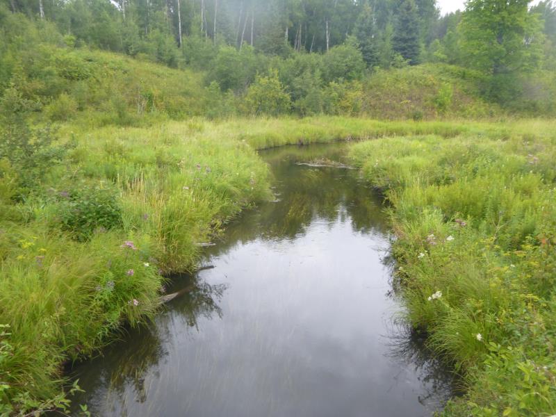
Downstream Conditions
Road Approach - Left
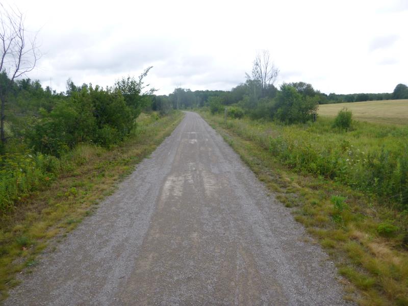
Road Approach - Right
Crossing Information
Type of Crossing: culvert(s)
Number of Structures: 1
Structure Shape: Open Bottom Square/Rectangle
Inlet Type: Wingwall 10-30 Degree
Outlet Type: At Stream Grade
Structure Material: Concrete
Structure Substrate: Sand
General Conditions: Good
Structure Interior: smooth
Dimensions of Structure: Length 34.2 ft.
, Width 15.2 ft.
, Height 7 ft.
Structure is NOT Perched
Structure Inlet
Water Depth: 3.2 ft.
Embedded Depth of Structure: 0 ft.
Water Velocity*: 0.7 ft./sec.
Structure Outlet
Water Depth: 3.4 ft.
Embedded Depth of Structure: 0 ft.
Water Velocity*: 0.7 ft./sec.
*Water Velocities were measured at the Surface
(with Float Test)
Additional Comments
Riffle values estimated due to a wetland area (not able to access it) (widths are for the defined channel running through the wetland)
Stream Information
Stream Flow: Less than Bankfull
Scour Pool: Length 0 ft.
, Width 0 ft.
, Depth 0 ft.
Upstream Pond: Length 0 ft.
, Width 0 ft.
, Depth 0 ft.
Riffle Information
Water Depth: 3 ft.
Bankfull Width: 15 ft.
Wetted Width: 10 ft.
Water Velocity: 0.4 ft./sec.
(Measured with Meter)
Dominant Substrate: Sand
Road Information
Gravel
State Road
Road Condition: Good
Road Width at Culvert: 17.9 ft.
Location of Low Point: Other
Runoff Path: Ditch
Fill Depth: 0 ft.
Slope: Vertical
Fill Depth: 0 ft.
Slope: Vertical
Approaches
Left Approach
Length: 464.9 ft.
Slope: 1% to 5%
Vegetation: Heavy
LS Factor: 0.493
Erosion: 1.1301 tons/year
Right Approach
Length: 0 ft.
Slope: Less Than 1%
Vegetation: Heavy
LS Factor: 0.05
Erosion: 0 tons/year
Erosion Information
Total Erosion at Crossing: 1.1301 tons/year
Summary Information
Fish Passability 1
These non-native species were observerd at this site: Wild parsnip
�