Road Stream Crossing Site ST056
Sturgeon River Watershed, Stewart Creek
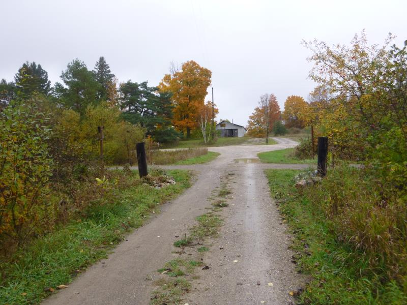
Driveway off of Trowbridge Rd
Nunda Twp,
Cheboygan County
Information collected by:
Site Location
GPS Coordinates: 45.218579
, -84.589464
T33N
R02W
Sec 29
Owned by Private
Fish Passability 1
Structure is NOT Perched
Total Erosion: 2.0089 tons/year
Severity: Moderate
Year Inventoried: 2015

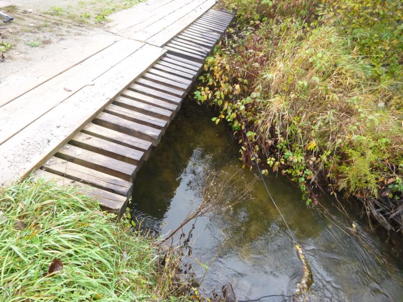
Inlet
Outlet
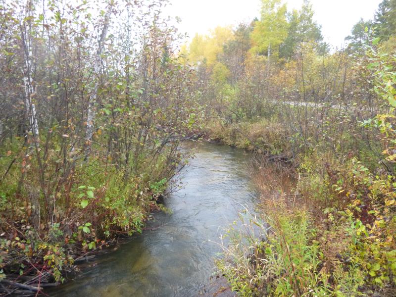
Downstream Conditions
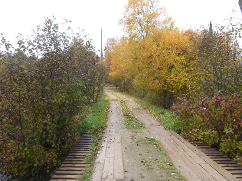
Road Approach - Left
Road Approach - Right
Crossing Information
Type of Crossing: Bridge
Structure Shape: Open Bottom Square/Rectangle
Inlet Type: Other
Outlet Type: At Stream Grade
Structure Material: Wood
Structure Substrate: Mixture
General Conditions: Fair
Structure Interior: smooth
Dimensions of Structure: Length 12.7 ft.
, Width 38 ft.
, Height 7.7 ft.
Structure is NOT Perched
Structure Inlet
Water Depth: 3.3 ft.
Embedded Depth of Structure: 0 ft.
Water Velocity*: 1.4 ft./sec.
Structure Outlet
Water Depth: 2 ft.
Embedded Depth of Structure: 0 ft.
Water Velocity*: 1.4 ft./sec.
*Water Velocities were measured at the Surface
(with Float Test)
Stream Information
Stream Flow: Less than Bankfull
Scour Pool: Length 0 ft.
, Width 0 ft.
, Depth 0 ft.
Upstream Pond: Length 0 ft.
, Width 0 ft.
, Depth 0 ft.
Road Information
Gravel
Private Road
Road Condition: Good
Road Width at Culvert: 12.7 ft.
Location of Low Point: At Stream
Runoff Path: Ditch
Fill Depth: 0 ft.
Slope: Vertical
Fill Depth: 0 ft.
Slope: Vertical
Approaches
Left Approach
Length: 1000 ft.
Slope: 1% to 5%
Vegetation: Heavy
LS Factor: 0.57
Erosion: 1.9942 tons/year
Right Approach
Length: 16 ft.
Slope: 1% to 5%
Vegetation: Heavy
LS Factor: 0.263
Erosion: 0.0147 tons/year
Erosion Information
Total Erosion at Crossing: 2.0089 tons/year
Extent of Erosion: Moderate
Summary Information
Fish Passability 1
�