Road Stream Crossing Site ST062
Sturgeon River Watershed, Stewart Creek tributary
North Central State Trail
Corwith Twp,
Otsego County
Information collected by:
Site Location
GPS Coordinates: 45.191928
, -84.623137
T32N
R03W
Sec 1
Owned by Private
Fish Passability 0.5
Structure is NOT Perched
Total Erosion: 1.8788 tons/year
Severity: Moderate
Year Inventoried: 2015
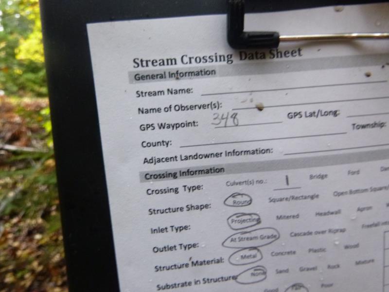
Site ID
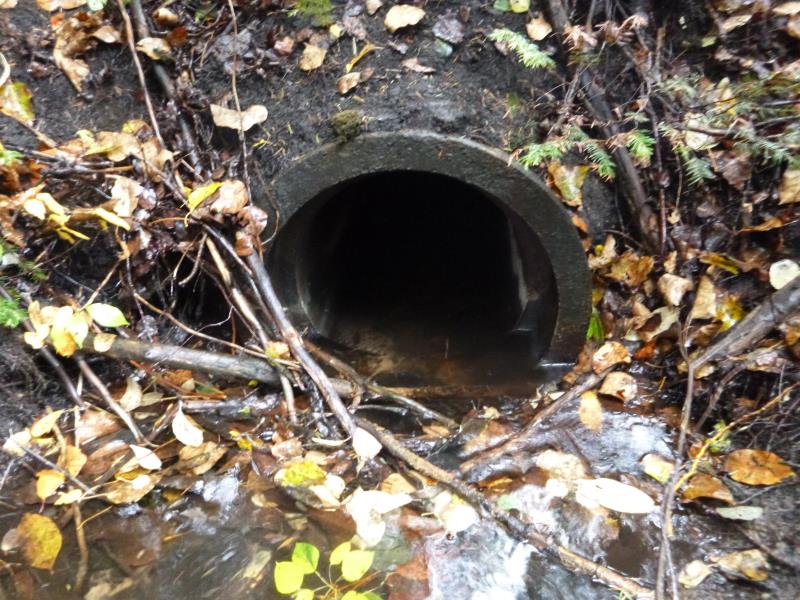
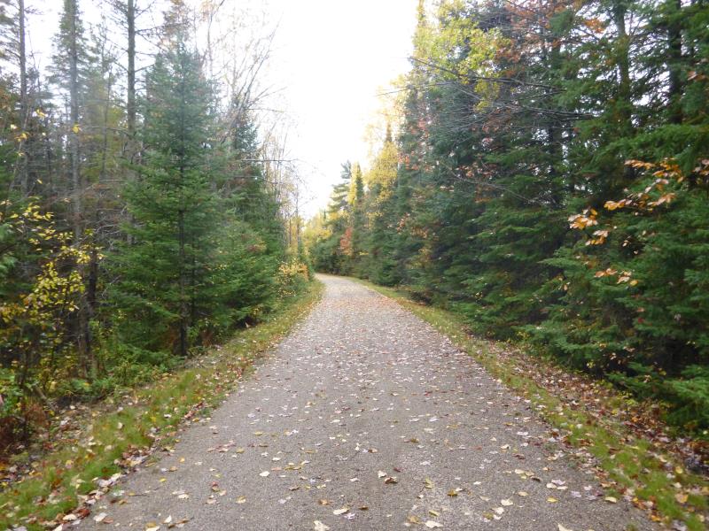
Inlet
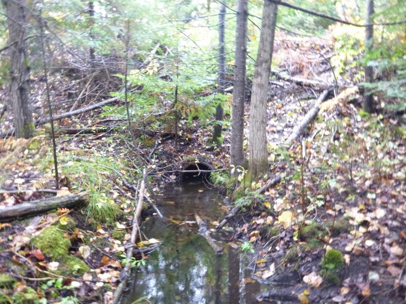
Outlet
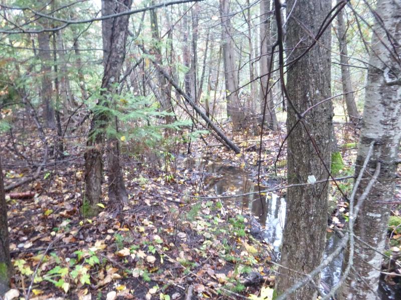
Upstream Conditions
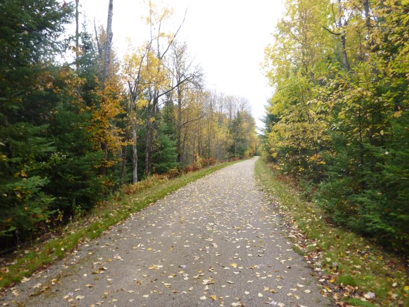
Road Approach - Left
Road Approach - Right
Crossing Information
Type of Crossing: culvert(s)
Number of Structures: 1
Structure Shape: Round
Inlet Type: Projecting
Outlet Type: At Stream Grade
Structure Material: Metal
Structure Substrate: None
General Conditions: Fair
Structure Interior: smooth
Dimensions of Structure: Length 51 ft.
, Width 1.6 ft.
, Height 1.6 ft.
Percentage Plugged:
Inlet: 1% to 25%
Outlet: 0%
In Pipe: 0%
Structure is NOT Perched
Structure Inlet
Water Depth: 0.4 ft.
Embedded Depth of Structure: 0 ft.
Water Velocity*: 0.1 ft./sec.
Structure Outlet
Water Depth: 0.4 ft.
Embedded Depth of Structure: 0.1 ft.
Water Velocity*: 0.1 ft./sec.
*Water Velocities were measured at the Surface
(with Float Test)
Stream Information
Stream Flow: Less than Bankfull
Scour Pool: Length 0 ft.
, Width 0 ft.
, Depth 0 ft.
Upstream Pond: Length 0 ft.
, Width 0 ft.
, Depth 0 ft.
Riffle Information
Water Depth: 0.2 ft.
Bankfull Width: 3.5 ft.
Wetted Width: 2.4 ft.
Water Velocity: 0.4 ft./sec.
(Measured with Float Test)
Dominant Substrate: Sand
Road Information
Gravel
State Road
Road Condition: Good
Road Width at Culvert: 11 ft.
Location of Low Point: At Stream
Runoff Path: Ditch
Embankments
Upstream
Fill Depth: 7.5 ft.
Slope: 1:1.5
Downstream
Fill Depth: 7.7 ft.
Slope: 1:1.5
Approaches
Left Approach
Length: 1000 ft.
Slope: 1% to 5%
Vegetation: Heavy
LS Factor: 0.57
Erosion: 1.7273 tons/year
Right Approach
Length: 1000 ft.
Slope: Less Than 1%
Vegetation: Heavy
LS Factor: 0.05
Erosion: 0.1515 tons/year
Erosion Information
Total Erosion at Crossing: 1.8788 tons/year
Extent of Erosion: Minor
Erosion is occurring and corrective actions can be installed to address the problem.
Summary Information
Fish Passability 0.5
A future visit to this site is recommended. Size of culvert
�