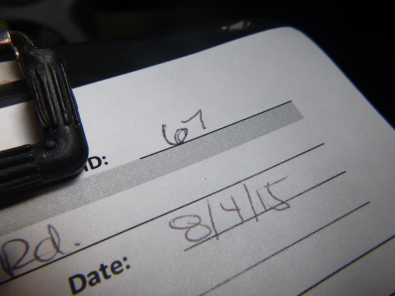
Road Stream Crossing Site ST067
Sturgeon River Watershed, Blackjack Creek
Shire Rd
Wilmot Twp,
Cheboygan County
Information collected by:
Site Location
GPS Coordinates: 45.219292
, -84.621892
T33N
R03W
Sec 25
Owned by State
Fish Passability 0
Perch Height: 0.4 ft.
Total Erosion: 1.5006 tons/year
Severity: Severe
Year Inventoried: 2015
Site ID
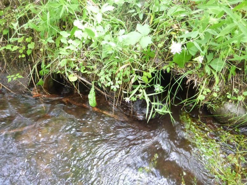
Inlet
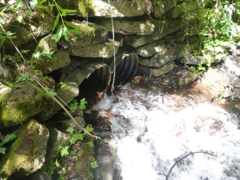
Outlet
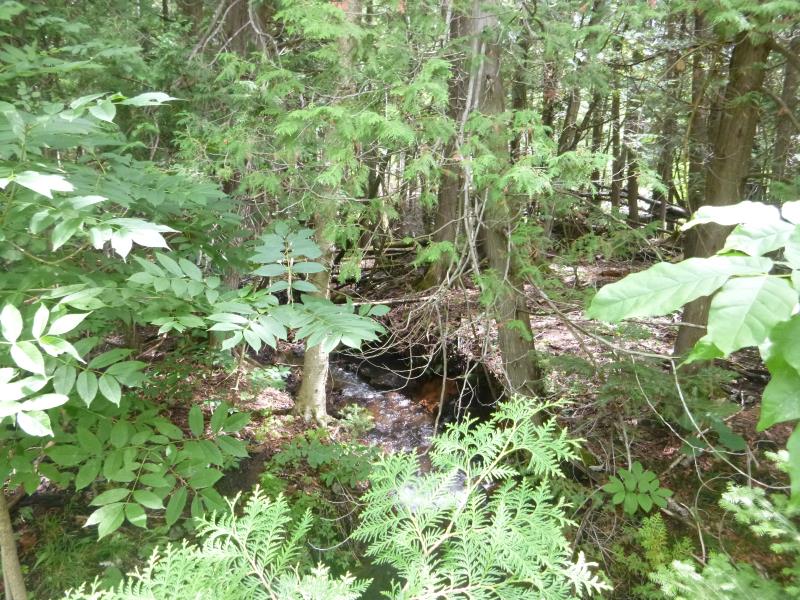
Downstream Conditions
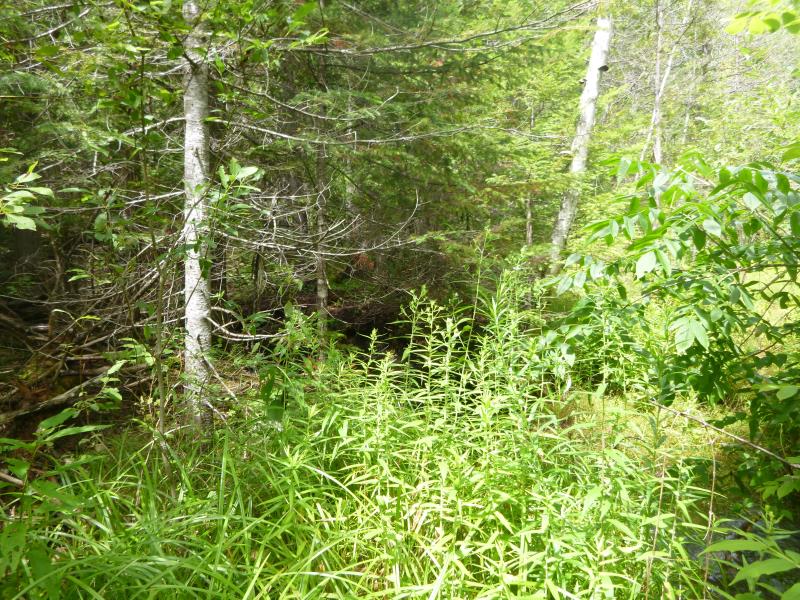
Upstream Conditions
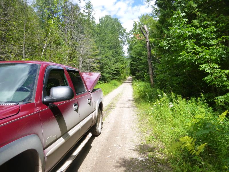
Road Approach - Left
Road Approach - Right
Crossing Information
Type of Crossing: culvert(s)
Number of Structures: 2
Structure Shape: Round
Inlet Type: Projecting
Outlet Type: Cascade over Riprap
Structure Material: Metal
Structure Substrate: None
General Conditions: Poor
Structure Interior: corrugated
Dimensions of Structure: Length 24.3 ft.
, Width 1.6 ft.
, Height 1.6 ft.
Percentage Plugged:
Inlet: 26% to 50%
Outlet: 0%
In Pipe: 0%
Percentage Crushed:
Inlet: 0%
Outlet: 51% to 75%
In Pipe: 0%
Perch Height: 0.4 ft.
Structure Inlet
Water Depth: 0.7 ft.
Embedded Depth of Structure: 0.1 ft.
Water Velocity*: 4 ft./sec.
Structure Outlet
Water Depth: 0.2 ft.
Embedded Depth of Structure: 0 ft.
Water Velocity*: 4 ft./sec.
*Water Velocities were measured at the Surface
(with Float Test)
Stream Information
Stream Flow: Less than Bankfull
Scour Pool: Length 0 ft.
, Width 0 ft.
, Depth 0 ft.
Upstream Pond: Length 0 ft.
, Width 0 ft.
, Depth 0 ft.
Riffle Information
Water Depth: 0.3 ft.
Bankfull Width: 10.3 ft.
Wetted Width: 9 ft.
Water Velocity: 1.4 ft./sec.
(Measured with Float Test)
Dominant Substrate: Cobble
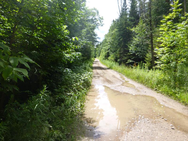
Road Information
Gravel
County Road
Road Condition: Fair
Road Width at Culvert: 10.3 ft.
Location of Low Point: At Stream
Runoff Path: Ditch
Embankments
Upstream
Fill Depth: 1.4 ft.
Slope: 1:1.5
Downstream
Fill Depth: 3 ft.
Slope: 1:1.5
Approaches
Left Approach
Length: 938 ft.
Slope: 1% to 5%
Vegetation: Heavy
LS Factor: 0.564
Erosion: 1.5006 tons/year
Right Approach
Length: 0 ft.
Slope: Less Than 1%
Vegetation: Heavy
LS Factor: 0.05
Erosion: 0 tons/year
Erosion Information
Total Erosion at Crossing: 1.5006 tons/year
Summary Information
Fish Passability 0
Fish Passage is an area of concern for this site.
Water velocity
A future visit to this site is recommended. water velocity
These non-native species were observerd at this site: Spotted knapweed
�