Road Stream Crossing Site ST098
Sturgeon River Watershed, Club Stream
Airport Rd
Corwith Twp,
Otsego County
Information collected by:
Site Location
GPS Coordinates: 45.136252
, -84.673562
T32N
R03W
Sec 28
Owned by Private
Local Government
Local Government
Fish Passability 0
Perch Height: 0.5 ft.
Total Erosion: 2.5306 tons/year
Severity: Moderate
Year Inventoried: 2015
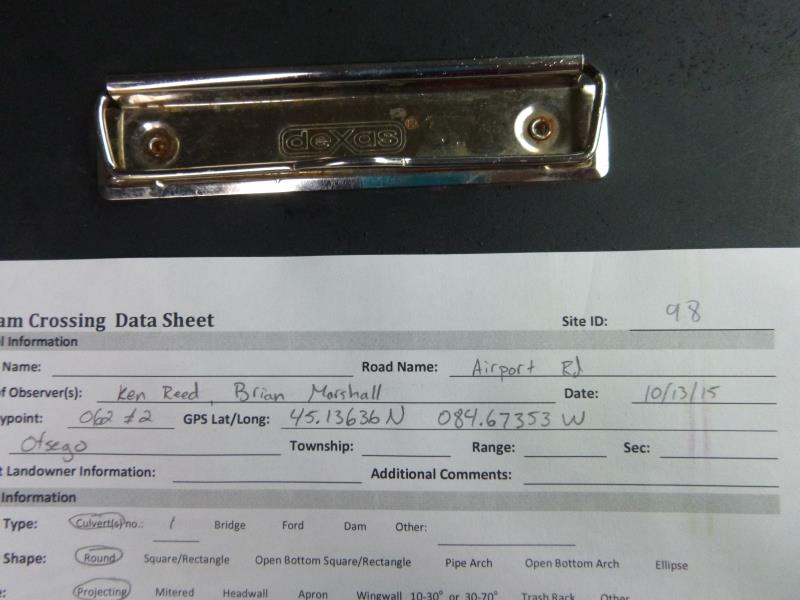
Site ID
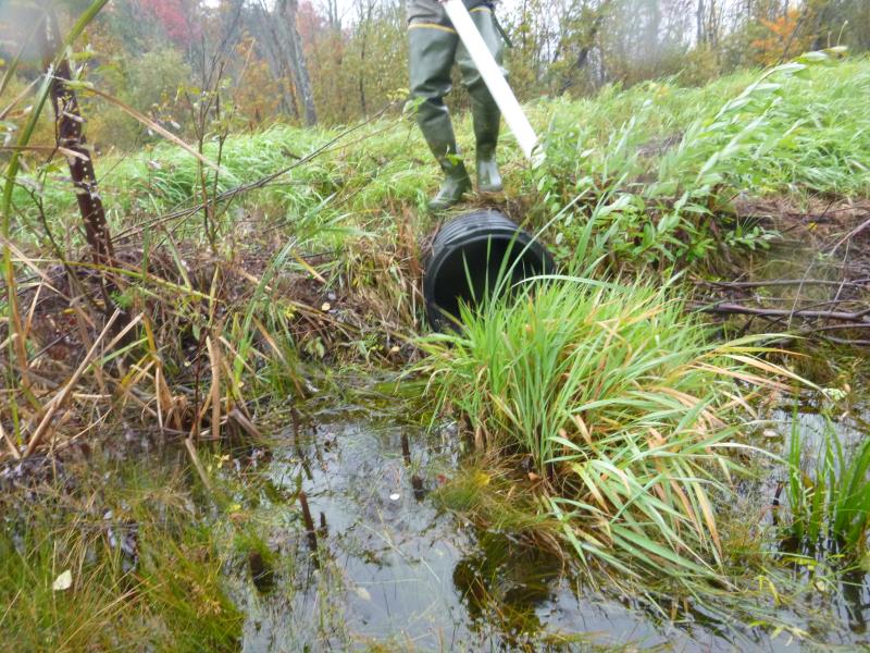
Inlet
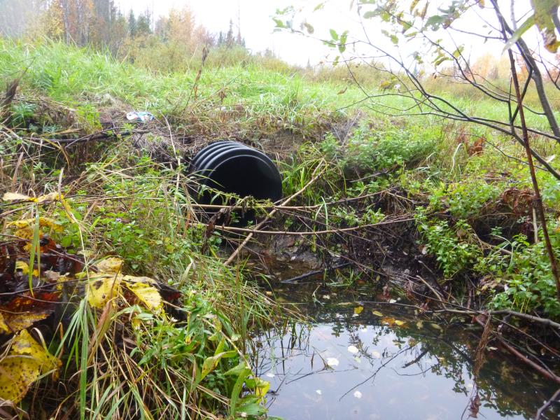
Outlet
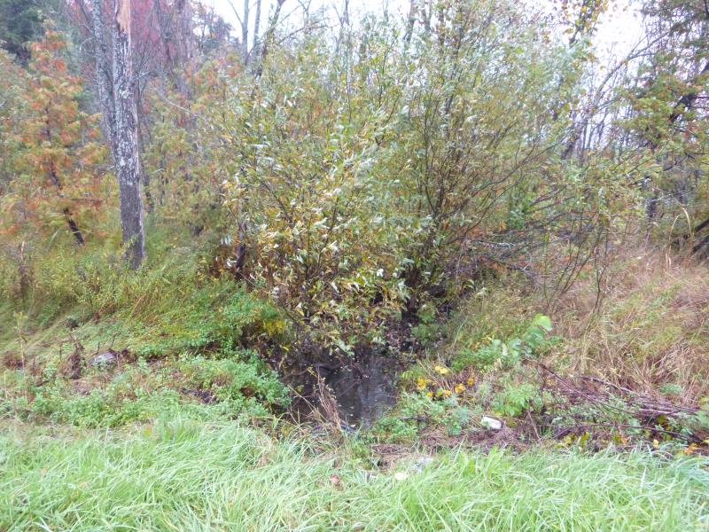
Downstream Conditions
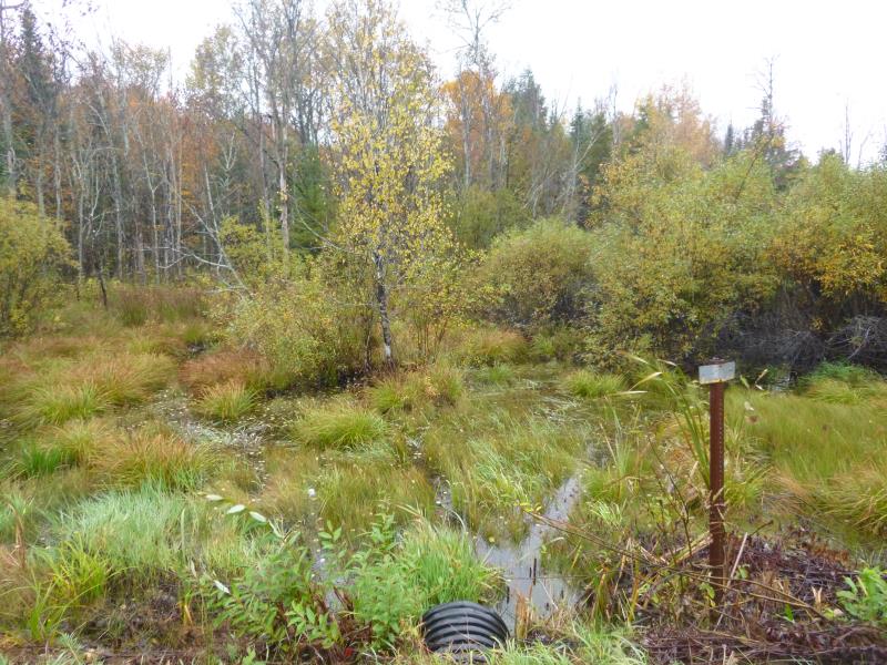
Upstream Conditions
Road Approach - Left
Road Approach - Right
Crossing Information
Type of Crossing: culvert(s)
Number of Structures: 1
Structure Shape: Round
Inlet Type: Projecting
Outlet Type: Freefall into Pool
Structure Material: Plastic
Structure Substrate: None
General Conditions: New
Structure Interior: smooth
Dimensions of Structure: Length 45 ft.
, Width 1.5 ft.
, Height 1.5 ft.
Perch Height: 0.5 ft.
Structure Inlet
Water Depth: 0.1 ft.
Embedded Depth of Structure: 0.2 ft.
Water Velocity*: 0 ft./sec.
Water Depth: 0 ft.
Embedded Depth of Structure: 0 ft.
Water Velocity*: 0 ft./sec.
*Water Velocities were measured at the Surface
(with Meter)
Additional Comments
Riffle info= dry
Stream Information
Stream Flow: None
Scour Pool: Length 12 ft.
, Width 7 ft.
, Depth 0.9 ft.
Upstream Pond: Length 100 ft.
, Width 220 ft.
, Depth 1 ft.
Dominant Substrate: Sand
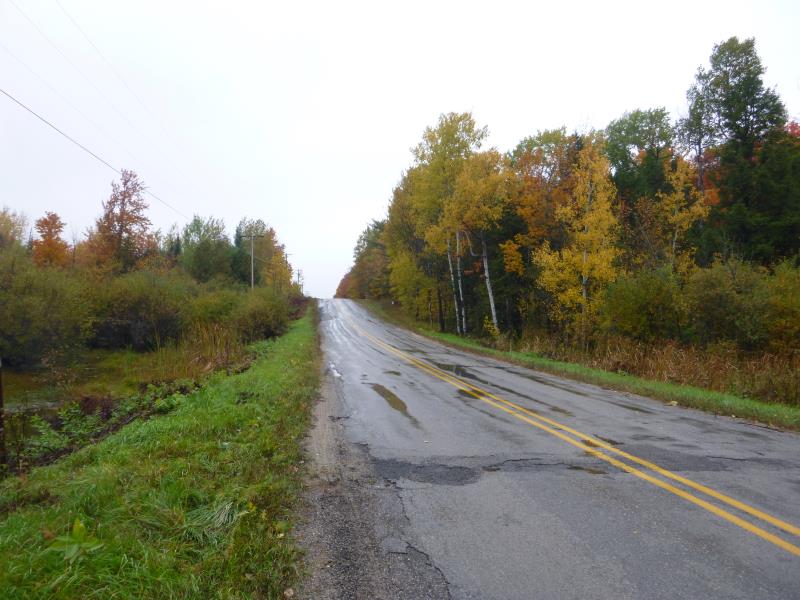
Road Information
Paved
County Road
Road Condition: Poor
Road Width at Culvert: 21 ft.
Location of Low Point: At Stream
Runoff Path: Ditch
Embankments
Upstream
Fill Depth: 1 ft.
Slope: More than 1:2
Downstream
Fill Depth: 1 ft.
Slope: More than 1:2
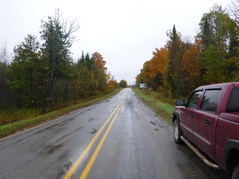
Approaches
Left Approach
Length: 550 ft.
Slope: More Than 10%
Vegetation: Heavy
LS Factor: 4.521
Erosion: 1.7263 tons/year
Right Approach
Length: 650 ft.
Slope: 6% to 10%
Vegetation: Heavy
LS Factor: 1.783
Erosion: 0.8043 tons/year
Erosion Information
Total Erosion at Crossing: 2.5306 tons/year
Summary Information
Fish Passability 0
Fish Passage is an area of concern for this site.
No water moving through the culvert
�