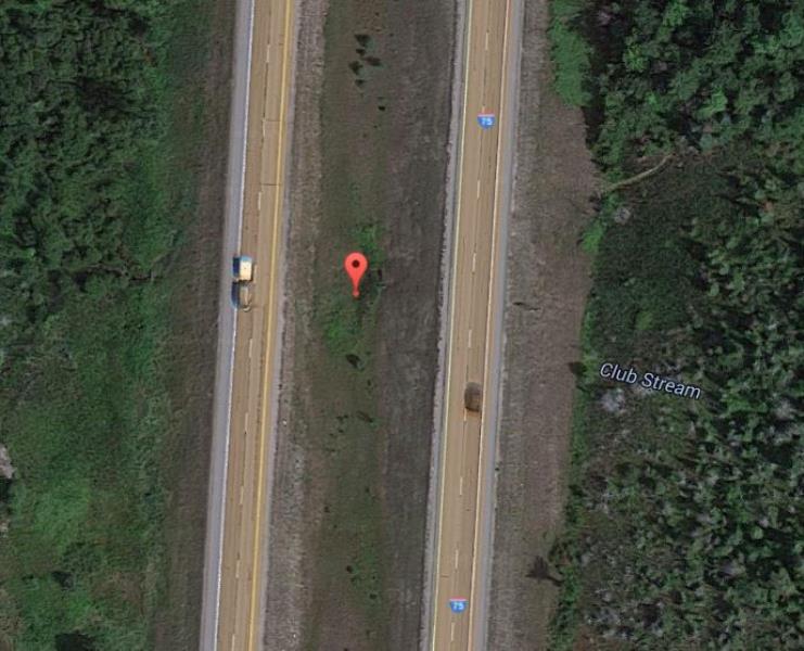
Road Stream Crossing Site ST099
Sturgeon River Watershed, Club Stream
I-75
Corwith Twp,
Otsego County
Information collected by:
Site Location
GPS Coordinates: 45.135646
, -84.671073
T32N
R03W
Sec 27
Owned by Private
Federal
Federal
Total Erosion: 0 tons/year
Year Inventoried: 2015
Other
Crossing Information
Type of Crossing: culvert(s)
General Conditions: Good
Additional Comments
Crosses I-75: Not fully inventoried (safety concern and should be in good condition resource-wise)
Road Information
Paved
Federal Road
Road Condition: Good
Erosion Information
Total Erosion at Crossing: 0 tons/year
Summary Information
�