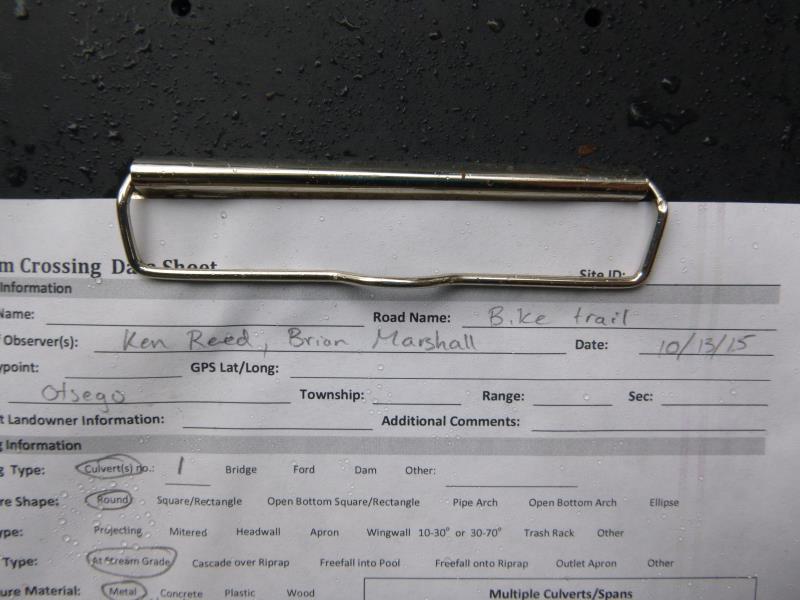
Road Stream Crossing Site ST100
Sturgeon River Watershed, Club Stream
North Central State Trail
Corwith Twp,
Otsego County
Information collected by:
Site Location
GPS Coordinates: 45.134511
, -84.661492
T32N
R03W
Sec 27
Owned by Private
Local Government
Local Government
Fish Passability 0.9
Structure is NOT Perched
Total Erosion: 1.7934 tons/year
Severity: Moderate
Year Inventoried: 2015
Site ID
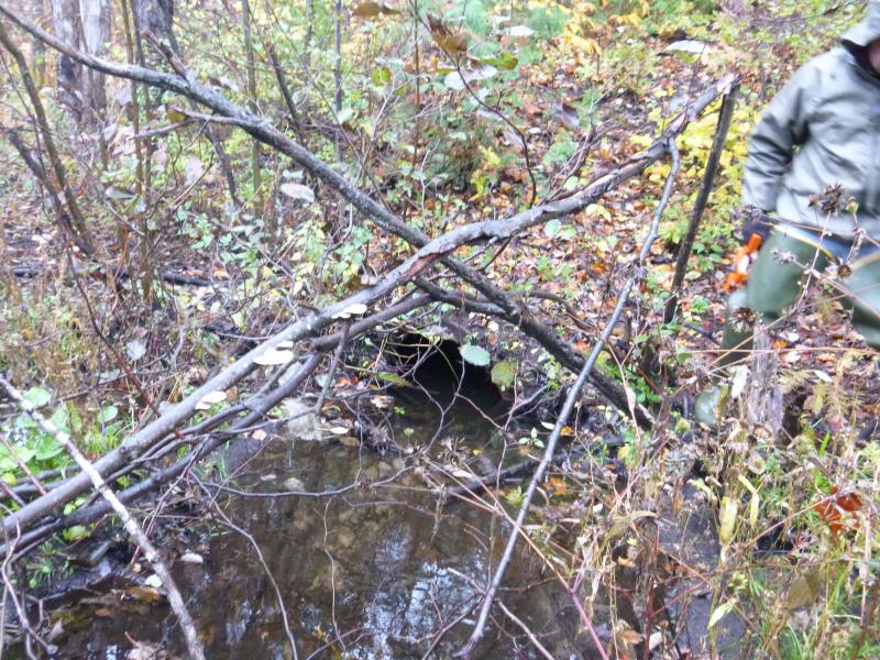
Inlet
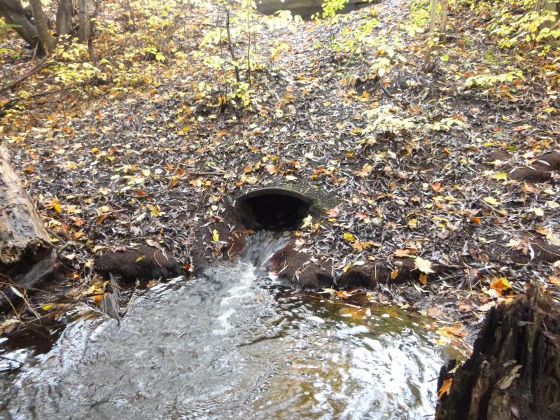
Outlet
Upstream Conditions
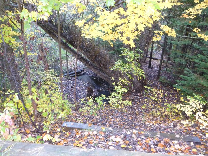
Downstream Conditions
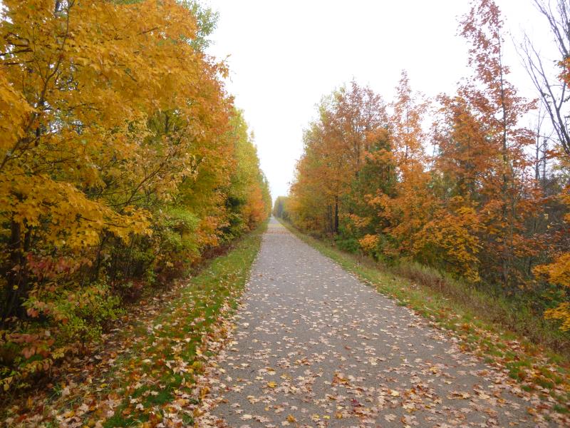
Road Approach - Left
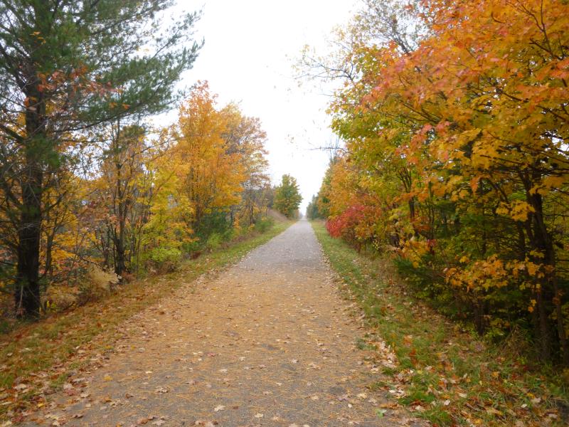
Road Approach - Right
Crossing Information
Type of Crossing: culvert(s)
Number of Structures: 1
Structure Shape: Round
Inlet Type: Projecting
Outlet Type: At Stream Grade
Structure Material: Metal
Structure Substrate: Gravel
General Conditions: Fair
Structure Interior: smooth
Dimensions of Structure: Length 110 ft.
, Width 2.5 ft.
, Height 2.5 ft.
Percentage Plugged:
Inlet: 0%
Outlet: 26% to 50%
In Pipe: 0%
Structure is NOT Perched
Structure Inlet
Water Depth: 1 ft.
Embedded Depth of Structure: 1 ft.
Water Velocity*: 0.8 ft./sec.
Structure Outlet
Water Depth: 0.2 ft.
Embedded Depth of Structure: 1 ft.
Water Velocity*: 1.5 ft./sec.
*Water Velocities were measured at the Surface
(with Float Test)
Additional Comments
Lots of roots at both ends of the culvert
Stream Information
Stream Flow: Less than Bankfull
Scour Pool: Length 10 ft.
, Width 6 ft.
, Depth 1 ft.
Upstream Pond: Length 0 ft.
, Width 0 ft.
, Depth 0 ft.
Riffle Information
Water Depth: 1 ft.
Bankfull Width: 9.5 ft.
Wetted Width: 5.2 ft.
Water Velocity: 1.1 ft./sec.
(Measured with Meter)
Dominant Substrate: Gravel
Road Information
Gravel
State Road
Road Condition: Good
Road Width at Culvert: 10.5 ft.
Location of Low Point: At Stream
Runoff Path: Ditch
Embankments
Upstream
Fill Depth: 13 ft.
Slope: 1:1.5
Downstream
Fill Depth: 13 ft.
Slope: 1:1.5
Approaches
Left Approach
Length: 1000 ft.
Slope: 1% to 5%
Vegetation: Heavy
LS Factor: 0.57
Erosion: 1.6488 tons/year
Right Approach
Length: 1000 ft.
Slope: Less Than 1%
Vegetation: Heavy
LS Factor: 0.05
Erosion: 0.1446 tons/year
Erosion Information
Total Erosion at Crossing: 1.7934 tons/year
Summary Information
Fish Passability 0.9
Fish Passage is an area of concern for this site.
Roots impeding water flow
�