Road Stream Crossing Site ST140
Sturgeon River Watershed, West Branch Sturgeon River
Sturgeon Valley Rd/Iron Bridge Rd
Hudson Twp,
Charlevoix County
Information collected by:
Site Location
GPS Coordinates: 45.14415
, -84.742333
T32N
R04W
Sec 25
Owned by Private
Fish Passability 1
Structure is NOT Perched
Total Erosion: 0 tons/year
Severity: Minor
Year Inventoried: 2015
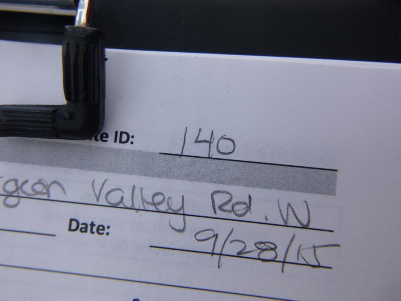
Site ID
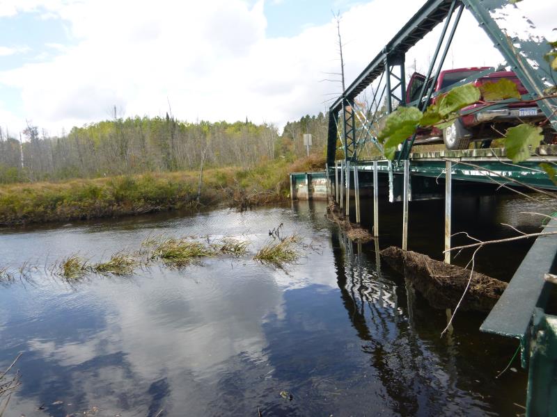
Inlet
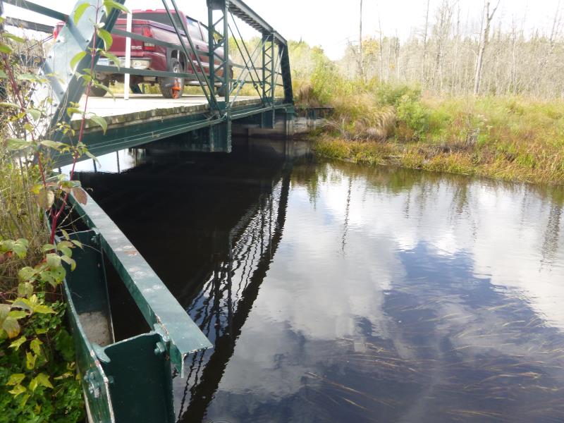
Outlet
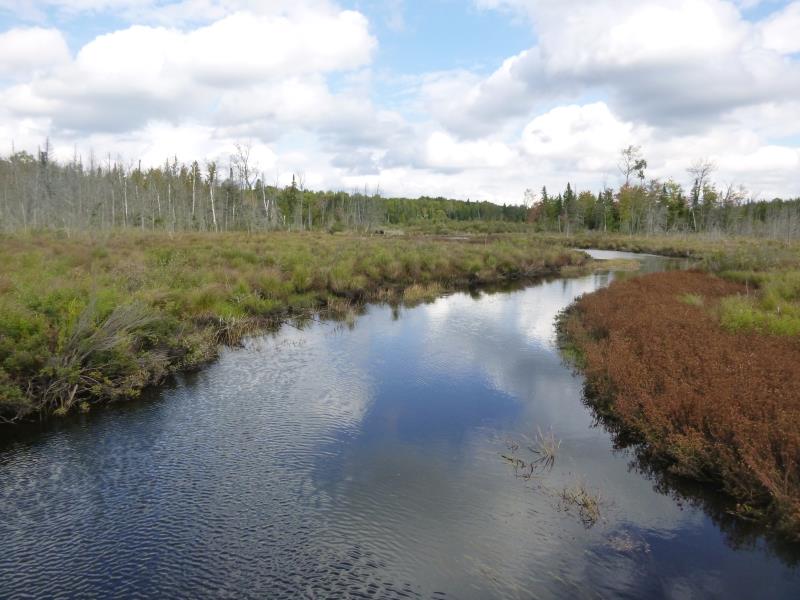
Downstream Conditions
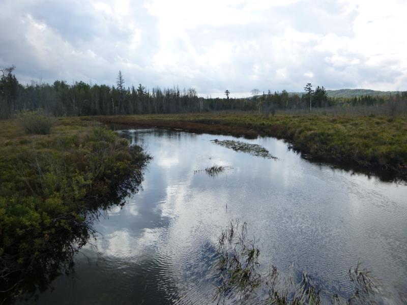
Upstream Conditions
Road Approach - Left
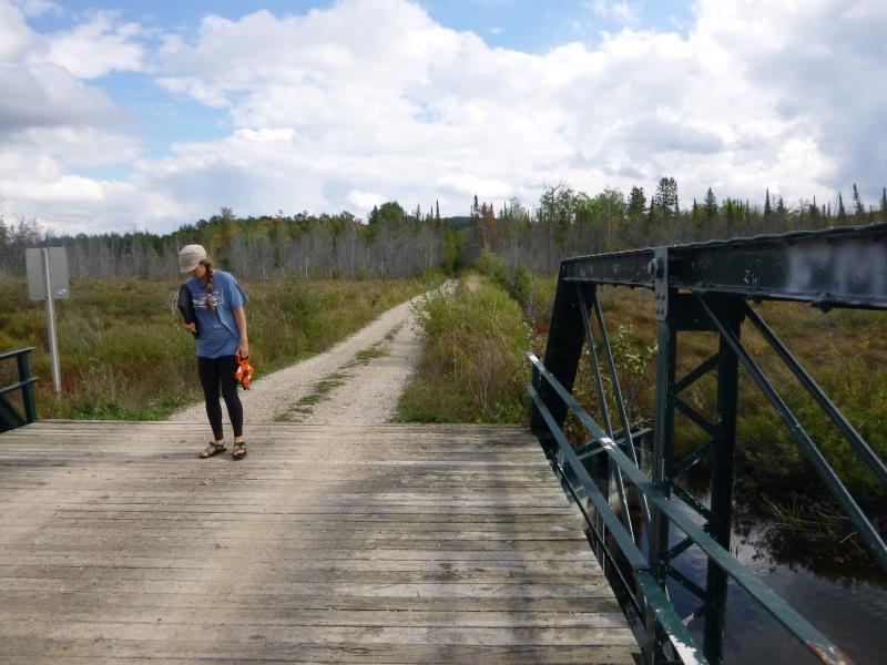
Road Approach - Right
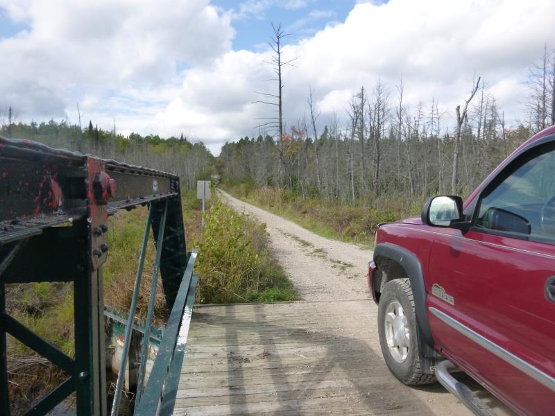
Crossing Information
Type of Crossing: Bridge
Structure Shape: Open Bottom Square/Rectangle
Inlet Type: Wingwall 30-70 Degree
Outlet Type: At Stream Grade
Structure Material: Metal
Structure Substrate: Mixture
General Conditions: Fair
Structure Interior: smooth
Dimensions of Structure: Length 16 ft.
, Width 40 ft.
, Height 9.5 ft.
Percentage Plugged:
Inlet: 1% to 25%
Outlet: 0%
In Pipe: 0%
Structure is NOT Perched
Structure Inlet
Water Depth: 2.6 ft.
Embedded Depth of Structure: 0 ft.
Water Velocity*: 0.6 ft./sec.
Structure Outlet
Water Depth: 3 ft.
Embedded Depth of Structure: 0 ft.
Water Velocity*: 0.6 ft./sec.
*Water Velocities were measured at the Surface
(with Float Test)
Stream Information
Stream Flow: More than Bankfull
Scour Pool: Length 0 ft.
, Width 0 ft.
, Depth 0 ft.
Upstream Pond: Length 0 ft.
, Width 0 ft.
, Depth 0 ft.
Road Information
Gravel
County Road
(Seasonal)
Road Condition: Fair
Road Width at Culvert: 16 ft.
Location of Low Point: Other
Runoff Path: Ditch
Fill Depth: 0 ft.
Slope: Vertical
Fill Depth: 0 ft.
Slope: Vertical
Approaches
Left Approach
Length: 0 ft.
Slope: Less Than 1%
Vegetation: Partial
LS Factor: 0.05
Erosion: 0 tons/year
Right Approach
Length: 0 ft.
Slope: Less Than 1%
Vegetation: Partial
LS Factor: 0.05
Erosion: 0 tons/year
Erosion Information
Total Erosion at Crossing: 0 tons/year
Location of Erosion | Erosion Dimensions | Eroded Material | Material Eroded | Total Erosion | ||
facing downstream | Length | Width | Depth | Reaching Stream? | (tons/year) | |
Right Downstream Streambank |
9.5 ft. |
6 ft. |
0.1 ft. |
yes |
Gravel |
|
Summary Information
Fish Passability 1
A future visit to this site is recommended. Monitor erosion and bridge condition
�