Road Stream Crossing Site ST146
Sturgeon River Watershed, Club Stream
E. Sturgeon Valley Rd
Corwith Twp,
Otsego County
Information collected by:
Site Location
GPS Coordinates: 45.141417
, -84.623733
T32N
R03W
Sec 24
Owned by Private
Fish Passability 0.9
Structure is NOT Perched
Total Erosion: 0.9836 tons/year
Severity: Moderate
Year Inventoried: 2015
Site ID
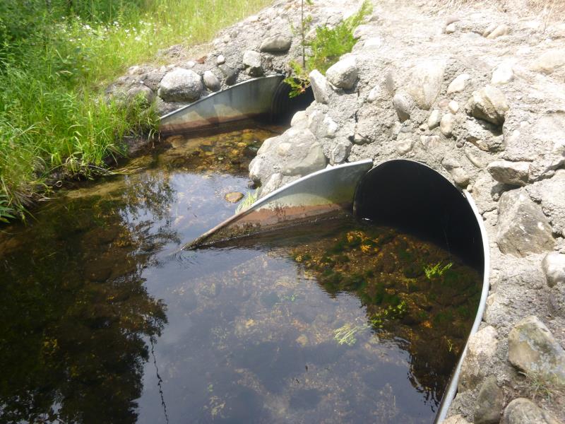
Inlet
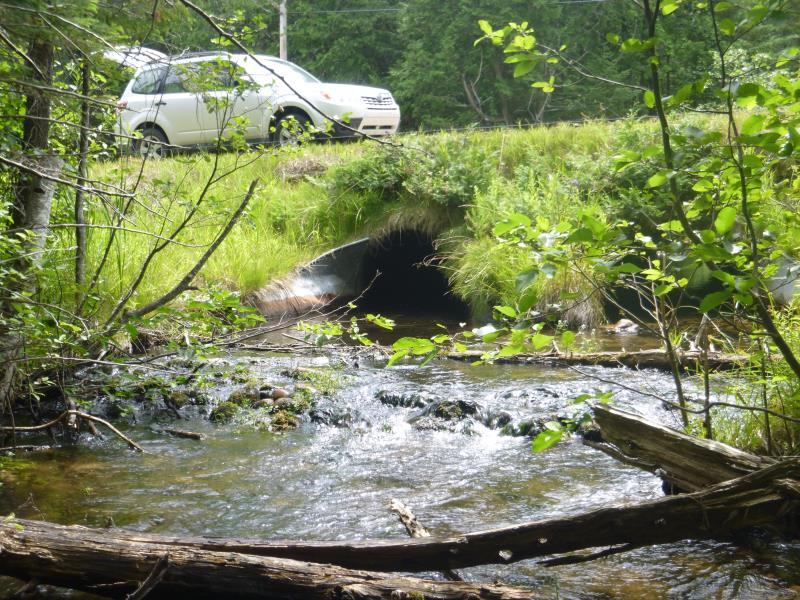
Outlet
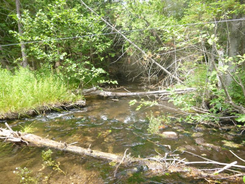
Downstream Conditions
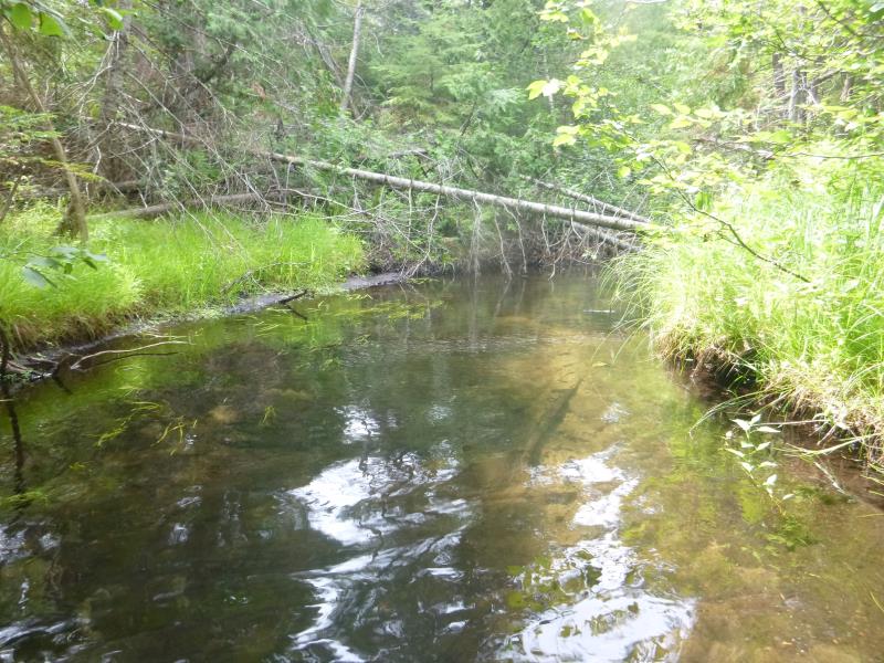
Upstream Conditions
Road Approach - Left
Road Approach - Right
Crossing Information
Type of Crossing: culvert(s)
Number of Structures: 2
Structure Shape: Round
Inlet Type: Mitered
Outlet Type: Outlet Apron
Structure Material: Metal
Structure Substrate: Mixture
General Conditions: Good
Multiple Culverts/Spans | ||||
Culvert/Span | Width | Length | Height | Material |
2 |
4.5 ft. |
54.9 ft. |
3.4 ft. |
Metal |
Structure Interior: corrugated
Dimensions of Structure: Length 54.9 ft.
, Width 3.7 ft.
, Height 3.9 ft.
Structure is NOT Perched
Structure Inlet
Water Depth: 1 ft.
Embedded Depth of Structure: 0.2 ft.
Water Velocity*: 1.44 ft./sec.
Structure Outlet
Water Depth: 1 ft.
Embedded Depth of Structure: 0.1 ft.
Water Velocity*: 1.44 ft./sec.
*Water Velocities were measured at the Surface
(with Float Test)
Stream Information
Stream Flow: Less than Bankfull
Scour Pool: Length 25.5 ft.
, Width 20.5 ft.
, Depth 1.4 ft.
Upstream Pond: Length 0 ft.
, Width 0 ft.
, Depth 0 ft.
Riffle Information
Water Depth: 0.7 ft.
Bankfull Width: 17.8 ft.
Wetted Width: 17.5 ft.
Water Velocity: 1 ft./sec.
(Measured with Float Test)
Dominant Substrate: Cobble
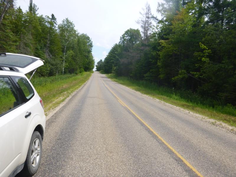
Road Information
Paved
State Road
Road Condition: Good
Road Width at Culvert: 26.1 ft.
Location of Low Point: At Stream
Runoff Path: Ditch
Embankments
Upstream
Fill Depth: 2.6 ft.
Slope: 1:1.5
Downstream
Fill Depth: 3 ft.
Slope: Vertical
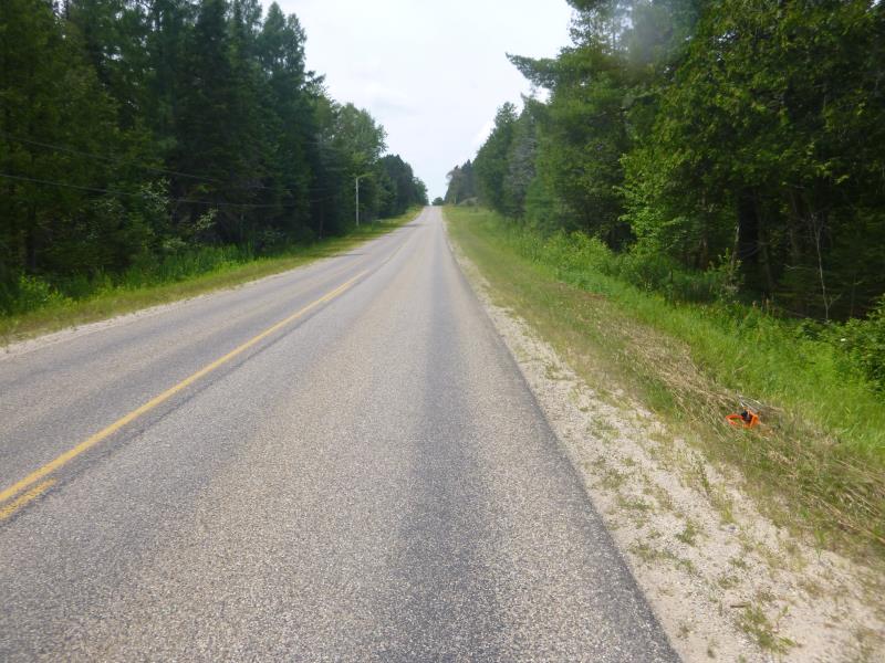
Approaches
Left Approach
Length: 1000 ft.
Slope: 1% to 5%
Vegetation: Heavy
LS Factor: 0.57
Erosion: 0.4918 tons/year
Right Approach
Length: 1000 ft.
Slope: 1% to 5%
Vegetation: Heavy
LS Factor: 0.57
Erosion: 0.4918 tons/year
Erosion Information
Total Erosion at Crossing: 0.9836 tons/year
Summary Information
Fish Passability 0.9
�