Road Stream Crossing Site ST147
Sturgeon River Watershed, Sturgeon River tributary
East Sturgeon Valley Rd
Corwith Twp,
Otsego County
Information collected by:
Site Location
GPS Coordinates: 45.1412
, -84.605917
T32N
R02W
Sec 19
Owned by Private
Fish Passability 0.5
Structure is NOT Perched
Total Erosion: 0.4727 tons/year
Severity: Moderate
Year Inventoried: 2015
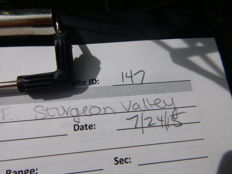
Site ID
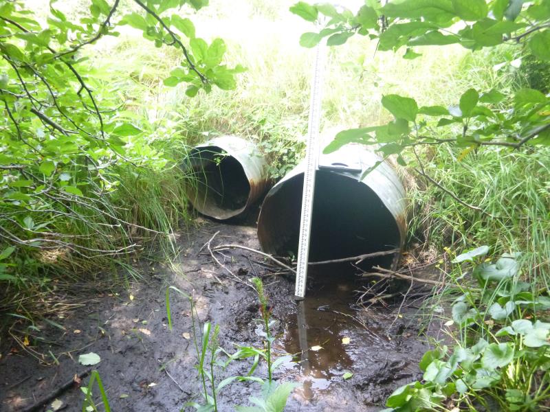
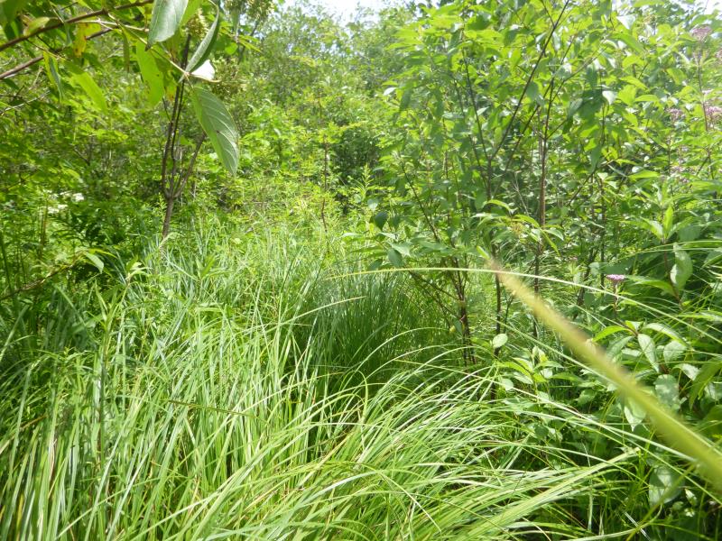
Inlet
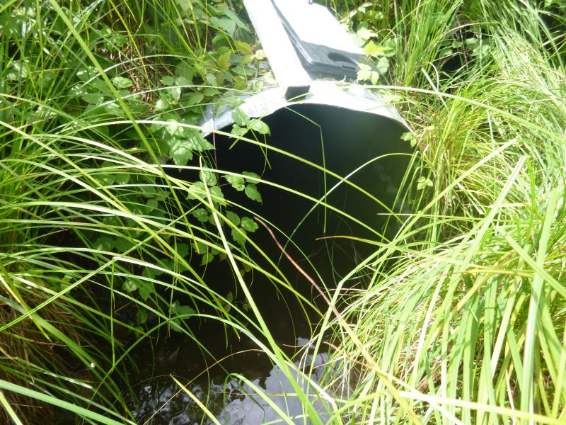
Outlet
Upstream Conditions
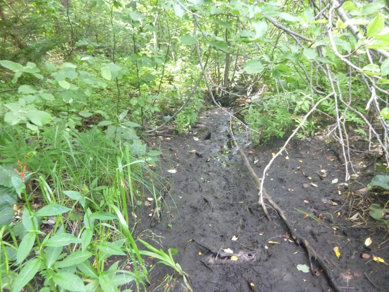
Downstream Conditions
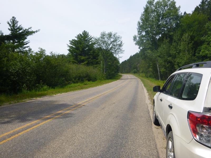
Road Approach - Left
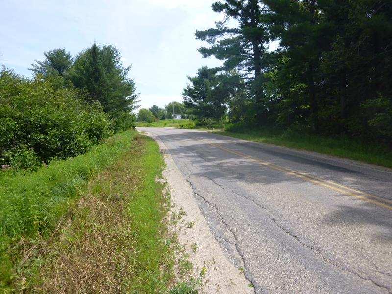
Road Approach - Right
Crossing Information
Type of Crossing: culvert(s)
Number of Structures: 2
Structure Shape: Round
Inlet Type: Projecting
Outlet Type: At Stream Grade
Structure Material: Metal
Structure Substrate: Gravel
General Conditions: Good
Multiple Culverts/Spans | ||||
Culvert/Span | Width | Length | Height | Material |
2 |
2 ft. |
41 ft. |
1.5 ft. |
Metal |
Structure Interior: corrugated
Dimensions of Structure: Length 41 ft.
, Width 3 ft.
, Height 2.8 ft.
Structure is NOT Perched
Structure Inlet
Water Depth: 0.1 ft.
Embedded Depth of Structure: 0.1 ft.
Water Velocity*: 0 ft./sec.
Structure Outlet
Water Depth: 0.6 ft.
Embedded Depth of Structure: 0.2 ft.
Water Velocity*: 0.1 ft./sec.
*Water Velocities were measured 0.1 ft. below Surface
(with Meter)
Additional Comments
Stream is dry on upstream end; the smaller culvert is perched at the inlet; stream dries up just downstream also
Stream Information
Stream Flow: Less than Bankfull
Scour Pool: Length 0 ft.
, Width 0 ft.
, Depth 0 ft.
Upstream Pond: Length 0 ft.
, Width 0 ft.
, Depth 0 ft.
Riffle Information
Water Depth: 0.2 ft.
Bankfull Width: 4.8 ft.
Wetted Width: 3.4 ft.
(Measured with Meter)
Dominant Substrate: Organics
Road Information
Paved
State Road
Road Condition: Good
Road Width at Culvert: 23 ft.
Location of Low Point: At Stream
Runoff Path: Ditch
Embankments
Upstream
Fill Depth: 2.4 ft.
Slope: More than 1:2
Downstream
Fill Depth: 2.3 ft.
Slope: More than 1:2
Approaches
Left Approach
Length: 691 ft.
Slope: 1% to 5%
Vegetation: Heavy
LS Factor: 0.534
Erosion: 0.2804 tons/year
Right Approach
Length: 505 ft.
Slope: 1% to 5%
Vegetation: Heavy
LS Factor: 0.501
Erosion: 0.1924 tons/year
Erosion Information
Total Erosion at Crossing: 0.4727 tons/year
Summary Information
Fish Passability 0.5
A future visit to this site is recommended. Perched inlet
�