Road Stream Crossing Site ST151
Sturgeon River Watershed, Sturgeon River
East Sturgeon Valley Rd
Corwith Twp,
Otsego County
Information collected by:
Site Location
GPS Coordinates: 45.145667
, -84.561333
T32N
R02W
Sec 21
Owned by Private
State
State
Fish Passability 0
Structure is NOT Perched
Total Erosion: 0.2677 tons/year
Severity: Severe
Year Inventoried: 2015
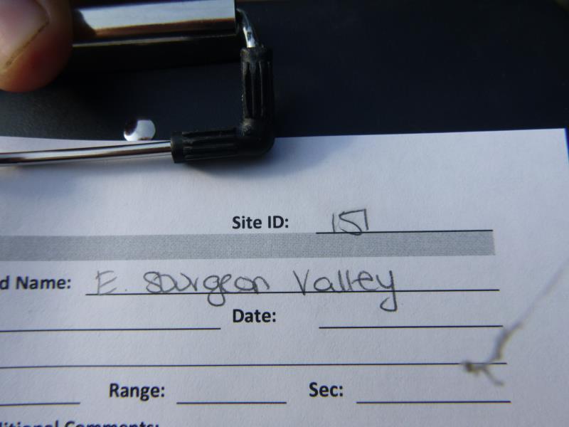
Site ID
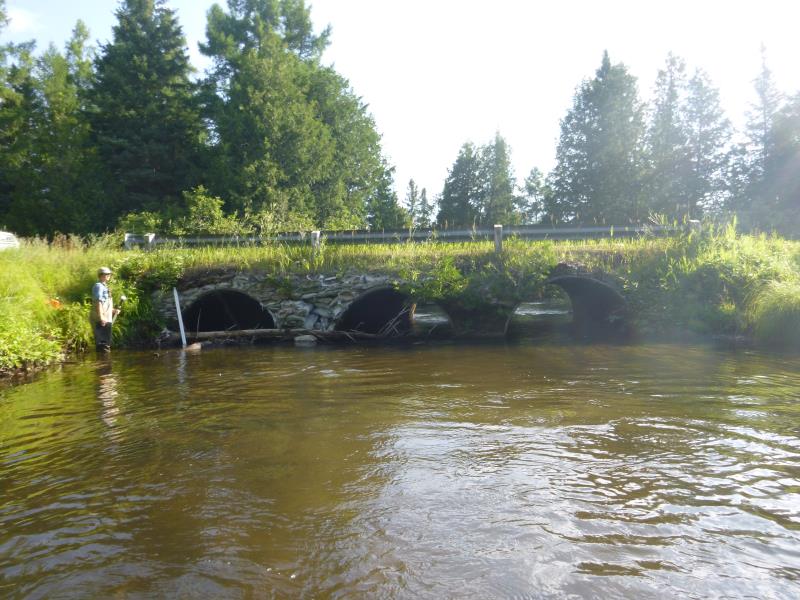
Inlet
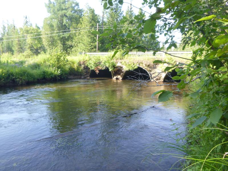
Outlet
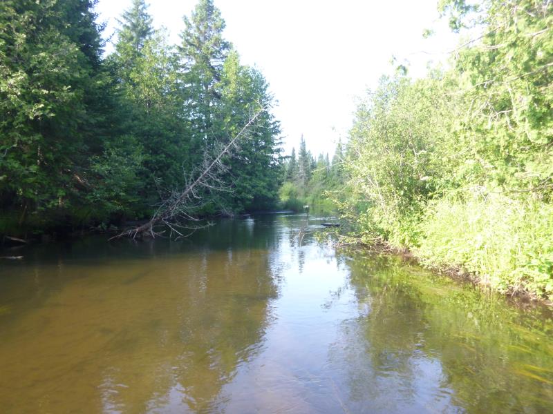
Upstream Conditions
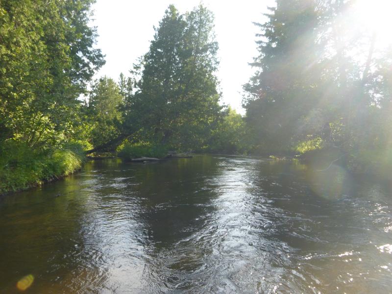
Downstream Conditions
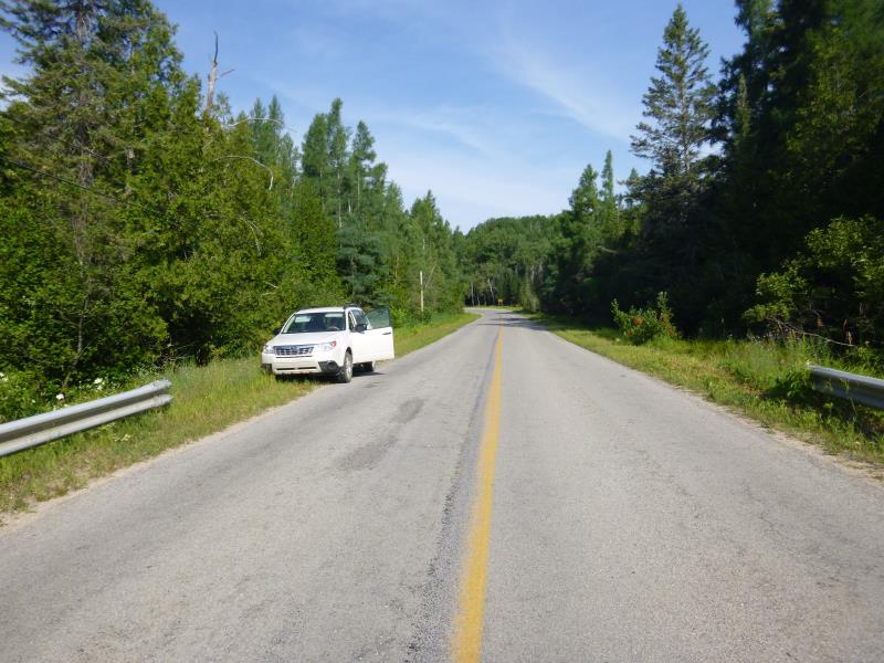
Road Approach - Left
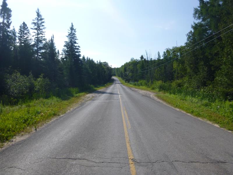
Road Approach - Right
Crossing Information
Type of Crossing: culvert(s)
Number of Structures: 3
Structure Shape: Round
Inlet Type: Headwall
Outlet Type: At Stream Grade
Structure Material: Metal
Structure Substrate: Mixture
General Conditions: Fair
Multiple Culverts/Spans | ||||
Culvert/Span | Width | Length | Height | Material |
2 |
7.2 ft. |
32 ft. |
5.1 ft. |
Metal |
3 |
7.5 ft. |
32 ft. |
4.9 ft. |
Metal |
Structure Interior: corrugated
Dimensions of Structure: Length 32 ft.
, Width 7.6 ft.
, Height 5 ft.
Percentage Plugged:
Inlet: 26% to 50%
Outlet: 0%
In Pipe: 0%
Percentage Crushed:
Inlet: 0%
Outlet: 0%
In Pipe: 1% to 25%
Structure is NOT Perched
Structure Inlet
Water Depth: 1.7 ft.
Embedded Depth of Structure: 0.2 ft.
Water Velocity*: 3.4 ft./sec.
Structure Outlet
Water Depth: 2.1 ft.
Embedded Depth of Structure: 0 ft.
Water Velocity*: 2.2 ft./sec.
*Water Velocities were measured 1 ft. below Surface
(with Meter)
Stream Information
Stream Flow: Less than Bankfull
Scour Pool: Length 0 ft.
, Width 0 ft.
, Depth 0 ft.
Upstream Pond: Length 0 ft.
, Width 0 ft.
, Depth 0 ft.
Riffle Information
Water Depth: 3 ft.
Bankfull Width: 27 ft.
Wetted Width: 23.54 ft.
Water Velocity: 0.5 ft./sec.
(Measured with Meter)
Dominant Substrate: Sand
Road Information
Paved
State Road
Road Condition: Good
Road Width at Culvert: 22 ft.
Location of Low Point: Other
Runoff Path: Ditch
Embankments
Upstream
Fill Depth: 2.1 ft.
Slope: Vertical
Downstream
Fill Depth: 2.2 ft.
Slope: Vertical
Approaches
Left Approach
Length: 690 ft.
Slope: 1% to 5%
Vegetation: Heavy
LS Factor: 0.534
Erosion: 0.2677 tons/year
Right Approach
Length: 0 ft.
Slope: Less Than 1%
Vegetation: Heavy
LS Factor: 0.05
Erosion: 0 tons/year
Erosion Information
Total Erosion at Crossing: 0.2677 tons/year
Summary Information
Fish Passability 0
Fish Passage is an area of concern for this site.
A future visit to this site is recommended. Plugged
These non-native species were observerd at this site: Spotted knapweed
�