Road Stream Crossing Site ST156
Sturgeon River Watershed, Unknown
Woodin Rd/South MacGee Rd
Corwith Twp,
Otsego County
Information collected by:
Site Location
GPS Coordinates: 45.132467
, -84.734817
T32N
R03W
Sec 30
Owned by Private
Fish Passability 0.5
Structure is NOT Perched
Total Erosion: 2.5037 tons/year
Severity: Moderate
Year Inventoried: 2015
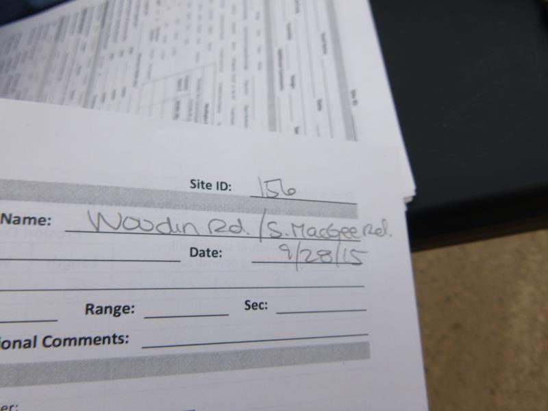
Site ID
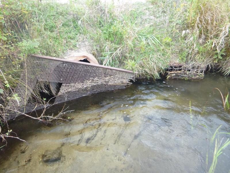
Inlet
Outlet
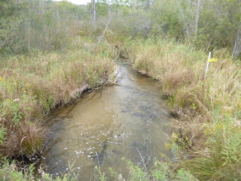
Downstream Conditions
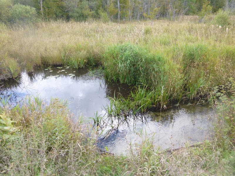
Upstream Conditions
Road Approach - Left
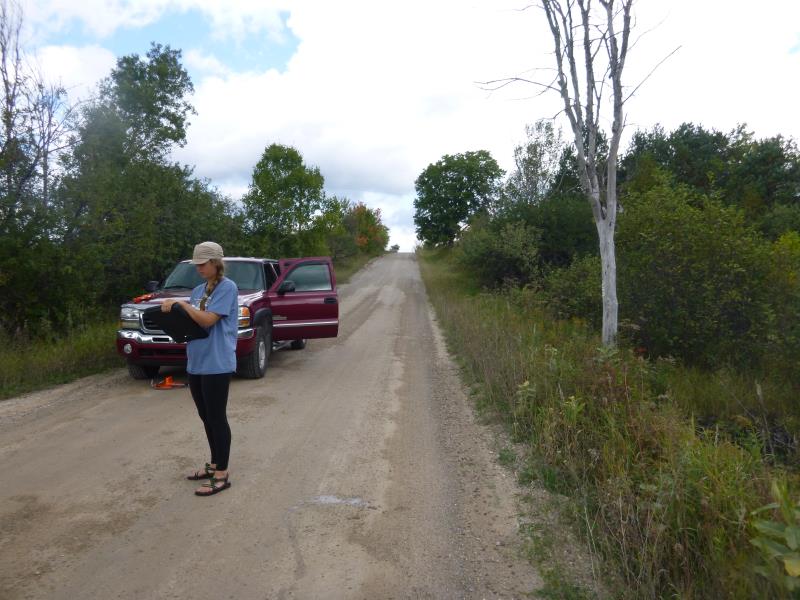
Road Approach - Right
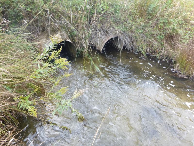
Crossing Information
Type of Crossing: culvert(s)
Number of Structures: 2
Structure Shape: Round
Inlet Type: Trash Rack
Outlet Type: At Stream Grade
Structure Material: Metal
Structure Substrate: None
General Conditions: Good
Multiple Culverts/Spans | ||||
Culvert/Span | Width | Length | Height | Material |
2 |
2.1 ft. |
28.6 ft. |
2.1 ft. |
Metal |
Structure Interior: corrugated
Dimensions of Structure: Length 28.6 ft.
, Width 2.1 ft.
, Height 2.7 ft.
Structure is NOT Perched
Structure Inlet
Water Depth: 1.3 ft.
Embedded Depth of Structure: 0.1 ft.
Water Velocity*: 2.6 ft./sec.
Structure Outlet
Water Depth: 0.5 ft.
Embedded Depth of Structure: 0 ft.
Water Velocity*: 2.6 ft./sec.
*Water Velocities were measured at the Surface
(with Float Test)
Stream Information
Stream Flow: Less than 1/2 Bankfull
Scour Pool: Length 16 ft.
, Width 14.3 ft.
, Depth 1.7 ft.
Upstream Pond: Length 10 ft.
, Width 15 ft.
, Depth 2.2 ft.
Riffle Information
Water Depth: 0.6 ft.
Bankfull Width: 9.6 ft.
Wetted Width: 7 ft.
Water Velocity: 1.3 ft./sec.
(Measured with Float Test)
Dominant Substrate: Sand
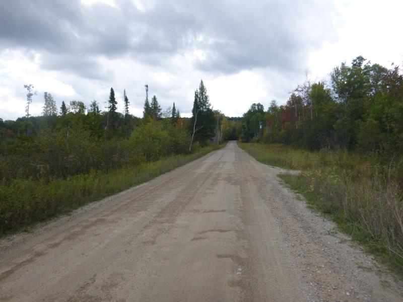
Road Information
Gravel
State Road
Road Condition: Good
Road Width at Culvert: 18.9 ft.
Location of Low Point: At Stream
Runoff Path: Ditch
Embankments
Upstream
Fill Depth: 2.8 ft.
Slope: 1:1.5
Downstream
Fill Depth: 3 ft.
Slope: 1:1.5
Approaches
Left Approach
Length: 306 ft.
Slope: Less Than 1%
Vegetation: Partial
LS Factor: 0.05
Erosion: 0.0797 tons/year
Right Approach
Length: 663 ft.
Slope: 1% to 5%
Vegetation: Partial
LS Factor: 0.702
Erosion: 2.4235 tons/year
Erosion Information
Total Erosion at Crossing: 2.5037 tons/year
Location of Erosion | Erosion Dimensions | Eroded Material | Material Eroded | Total Erosion | ||
facing downstream | Length | Width | Depth | Reaching Stream? | (tons/year) | |
Right Upstream Embankment |
5 ft. |
4 ft. |
0.1 ft. |
yes |
Sand |
0.0006 |
Summary Information
Fish Passability 0.5
Fish Passage is an area of concern for this site.
Trash rack
A future visit to this site is recommended. Trash rack
�