Road Stream Crossing Site ST166
Sturgeon River Watershed, Sturgeon River
Old Vanderbilt Rd
Corwith Twp,
Otsego County
Information collected by:
Site Location
GPS Coordinates: 45.13075
, -84.583133
T32N
R02W
Sec 29
Owned by Private
State
State
Fish Passability 1
Structure is NOT Perched
Total Erosion: 2.9856 tons/year
Severity: Severe
Year Inventoried: 2015
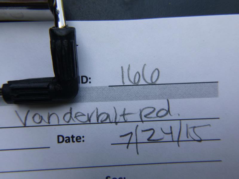
Site ID
Inlet
Outlet
Upstream Conditions
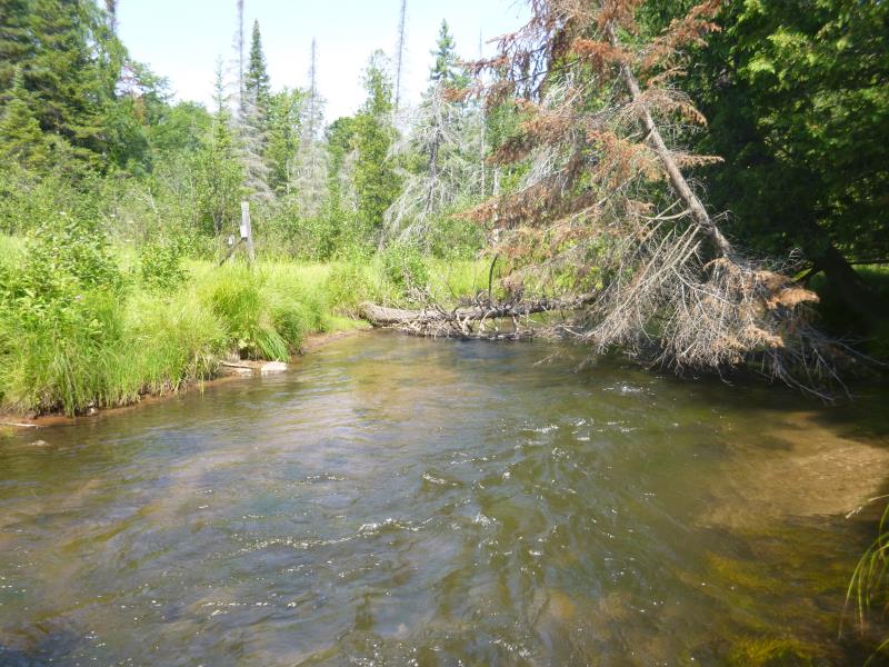
Downstream Conditions
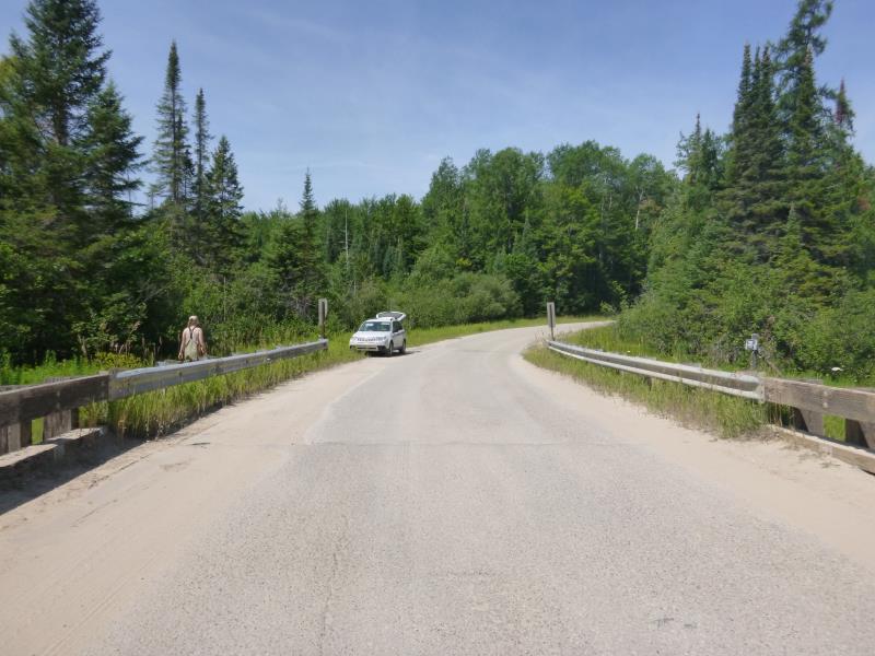
Road Approach - Left
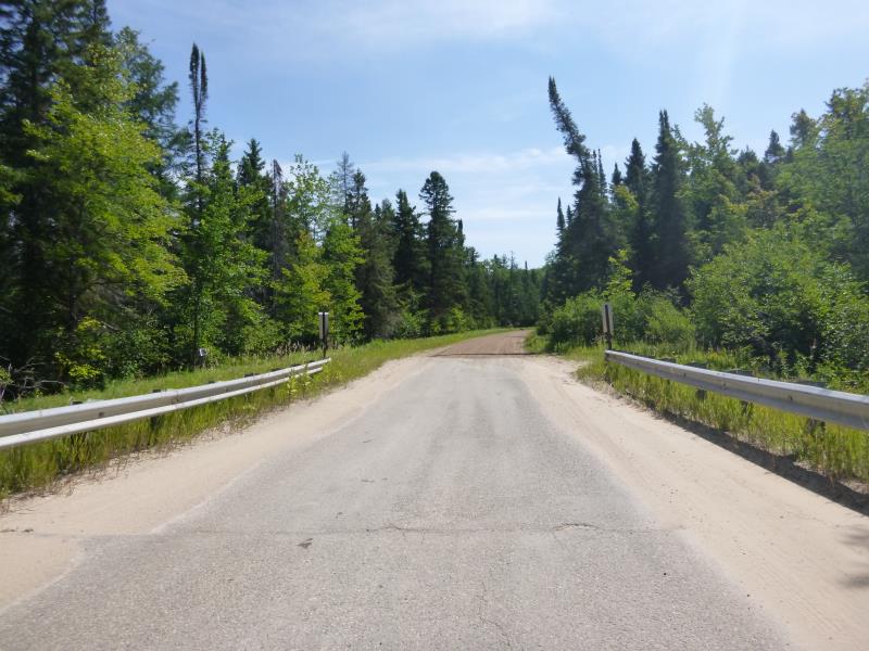
Road Approach - Right
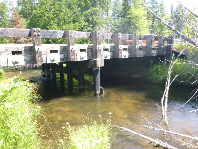
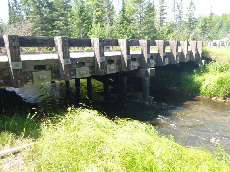
Crossing Information
Type of Crossing: Bridge
Structure Shape: Open Bottom Square/Rectangle
Inlet Type: Wingwall 10-30 Degree
Outlet Type: At Stream Grade
Structure Material: Wood
Structure Substrate: Mixture
General Conditions: Good
Multiple Culverts/Spans | ||||
Culvert/Span | Width | Length | Height | Material |
2 |
20 ft. |
28.8 ft. |
7 ft. |
Wood |
Structure Interior: smooth
Dimensions of Structure: Length 28.8 ft.
, Width 19 ft.
, Height 6.6 ft.
Structure is NOT Perched
Structure Inlet
Water Depth: 1.6 ft.
Embedded Depth of Structure: 0 ft.
Water Velocity*: 1.92 ft./sec.
Structure Outlet
Water Depth: 2.7 ft.
Embedded Depth of Structure: 0 ft.
Water Velocity*: 1.92 ft./sec.
*Water Velocities were measured at the Surface
(with Float Test)
Additional Comments
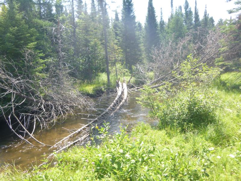
Log jam just above bridge
Stream Information
Stream Flow: Less than Bankfull
Scour Pool: Length 0 ft.
, Width 0 ft.
, Depth 0 ft.
Upstream Pond: Length 0 ft.
, Width 0 ft.
, Depth 0 ft.
Road Information
Gravel
State Road
Road Condition: Good
Road Width at Culvert: 19 ft.
Location of Low Point: Other
Runoff Path: Ditch
Fill Depth: 0 ft.
Slope: Vertical
Fill Depth: 0 ft.
Slope: Vertical
Approaches
Left Approach
Length: 1000 ft.
Slope: 1% to 5%
Vegetation: Heavy
LS Factor: 0.57
Erosion: 2.9835 tons/year
Right Approach
Length: 0 ft.
Slope: Less Than 1%
Vegetation: Heavy
LS Factor: 0.05
Erosion: 0 tons/year
Erosion Information
Total Erosion at Crossing: 2.9856 tons/year
Extent of Erosion: Moderate
Erosion is occurring and corrective actions can be installed to address the problem.
Location of Erosion | Erosion Dimensions | Eroded Material | Material Eroded | Total Erosion | ||
facing downstream | Length | Width | Depth | Reaching Stream? | (tons/year) | |
Right Upstream Streambank |
3 ft. |
3 ft. |
0.1 ft. |
no |
Gravel |
0.0021 |
Summary Information
Fish Passability 1
These non-native species were observerd at this site: Queen Anne's lace, spotted knapweed
�