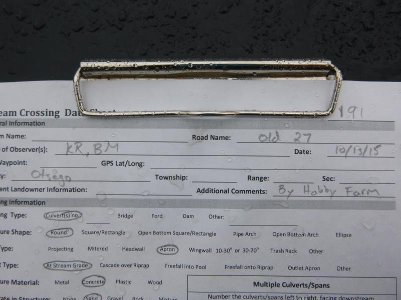
Road Stream Crossing Site ST191
Sturgeon River Watershed, Mossback Creek
Old US 27
Livingston Twp,
Otsego County
Information collected by:
Site Location
GPS Coordinates: 45.084333
, -84.673867
T31N
R03W
Sec 16
Owned by Private
Fish Passability 0
Structure is NOT Perched
Total Erosion: 0.7174 tons/year
Severity: Minor
Year Inventoried: 2015
Site ID
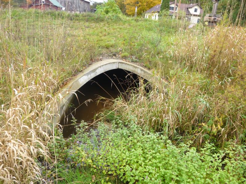
Inlet
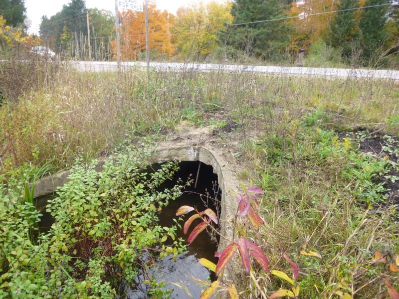
Outlet
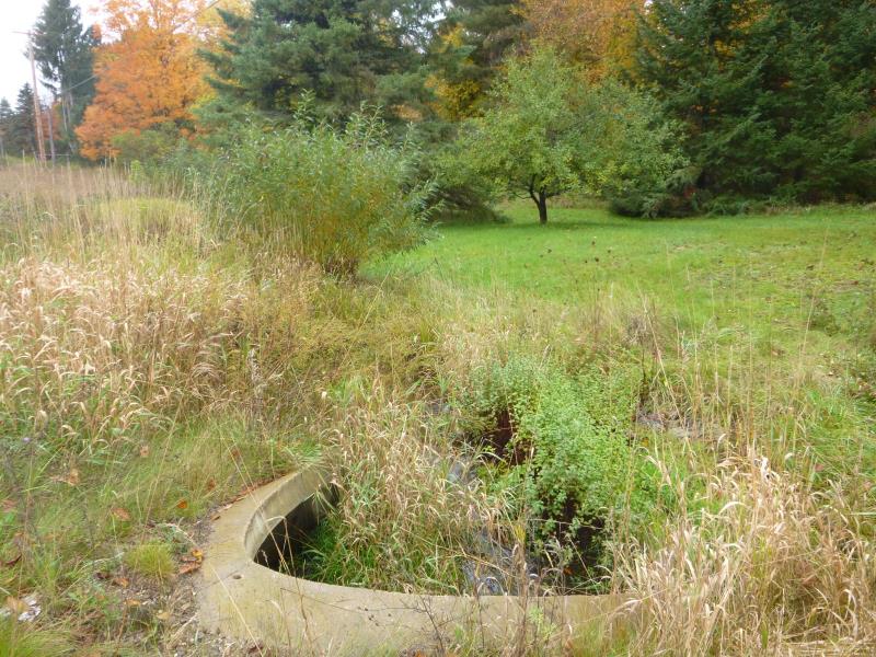
Upstream Conditions
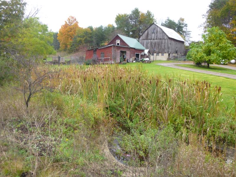
Downstream Conditions
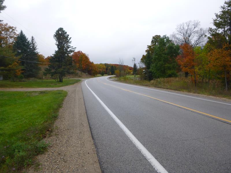
Road Approach - Left
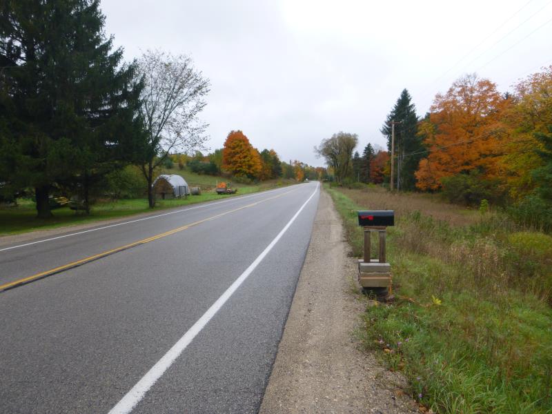
Road Approach - Right
Crossing Information
Type of Crossing: culvert(s)
Number of Structures: 1
Structure Shape: Round
Inlet Type: Apron
Outlet Type: At Stream Grade
Structure Material: Concrete
Structure Substrate: Sand
General Conditions: Good
Structure Interior: smooth
Dimensions of Structure: Length 70 ft.
, Width 8 ft.
, Height 4 ft.
Structure is NOT Perched
Structure Inlet
Water Depth: 1.1 ft.
Embedded Depth of Structure: 1 ft.
Water Velocity*: 0.6 ft./sec.
Structure Outlet
Water Depth: 0.7 ft.
Embedded Depth of Structure: 2.3 ft.
Water Velocity*: 0.4 ft./sec.
*Water Velocities were measured 0.2 ft. below Surface
(with Meter)
Additional Comments
By Hobby Farm, riffle not possible due to dam
Stream Information
Stream Flow: Less than Bankfull
Scour Pool: Length 0 ft.
, Width 0 ft.
, Depth 0 ft.
Upstream Pond: Length 0 ft.
, Width 0 ft.
, Depth 0 ft.
Dominant Substrate: Organics
Road Information
Paved
State Road
Road Condition: Good
Road Width at Culvert: 35 ft.
Location of Low Point: Other
Runoff Path: Ditch
Embankments
Upstream
Fill Depth: 3 ft.
Slope: 1:2
Downstream
Fill Depth: 2 ft.
Slope: 1:2
Approaches
Left Approach
Length: 1000 ft.
Slope: 1% to 5%
Vegetation: Heavy
LS Factor: 0.57
Erosion: 0.6595 tons/year
Right Approach
Length: 1000 ft.
Slope: Less Than 1%
Vegetation: Heavy
LS Factor: 0.05
Erosion: 0.0579 tons/year
Erosion Information
Total Erosion at Crossing: 0.7174 tons/year
Summary Information
Fish Passability 0
These non-native species were observerd at this site: Spotted knapweed
�