Road Stream Crossing Site ST200
Sturgeon River Watershed, Mossback Creek
Old US 27 N - Road Stop
Livingston Twp,
Otsego County
Information collected by:
Site Location
GPS Coordinates: 45.0796
, -84.67472
T31N
R03W
Sec 16
Owned by Local Government
Fish Passability 1
Structure is NOT Perched
Total Erosion: 0 tons/year
Severity: Minor
Year Inventoried: 2015

Site ID
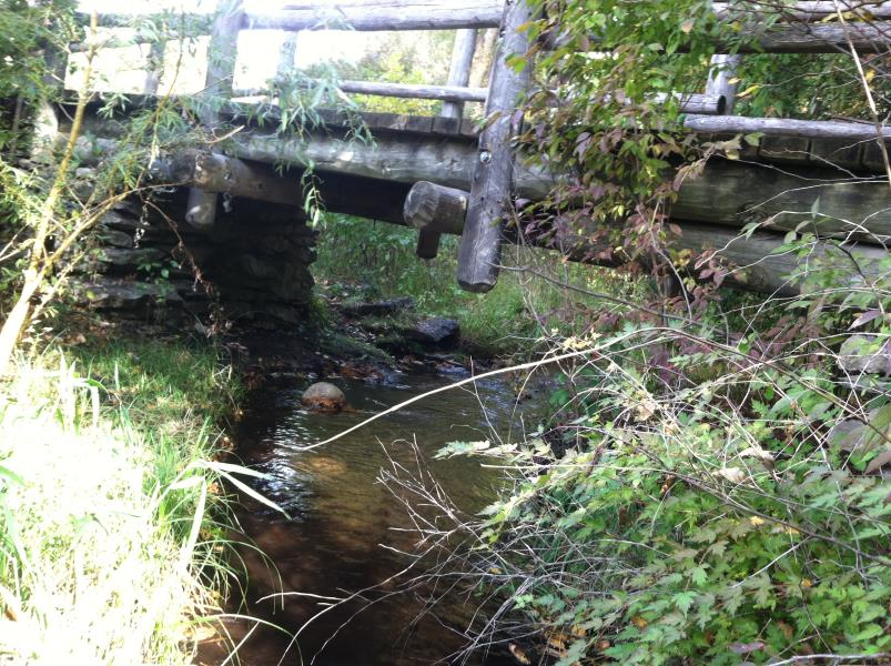
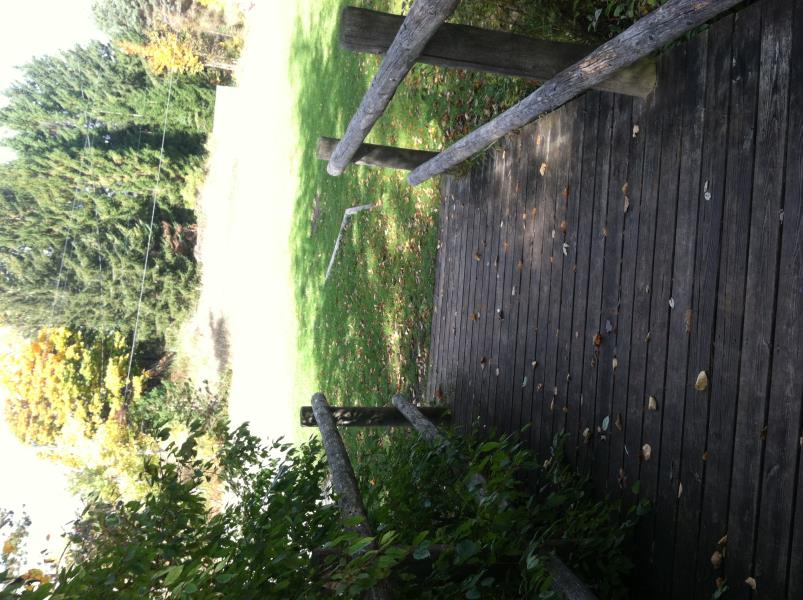
Inlet
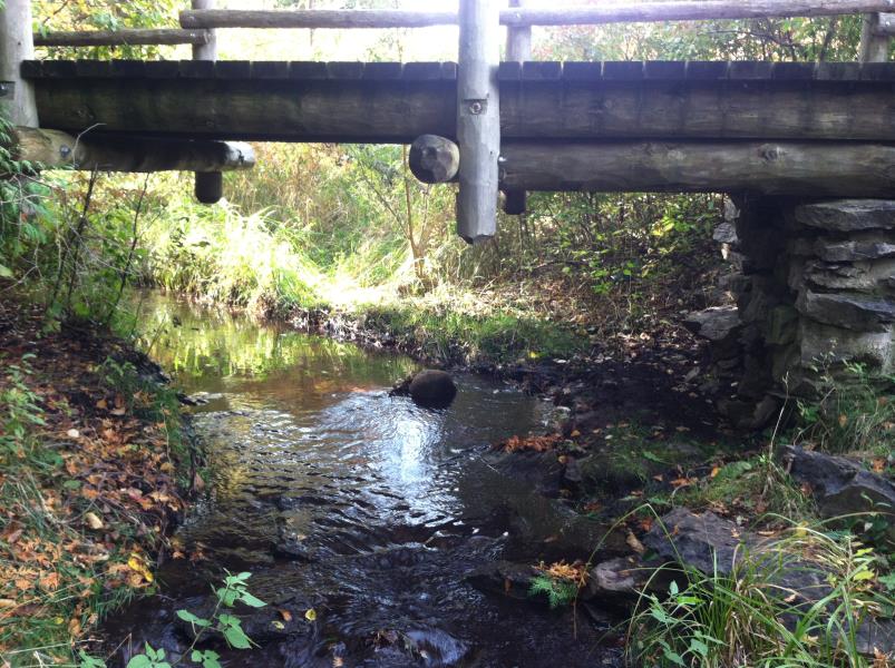
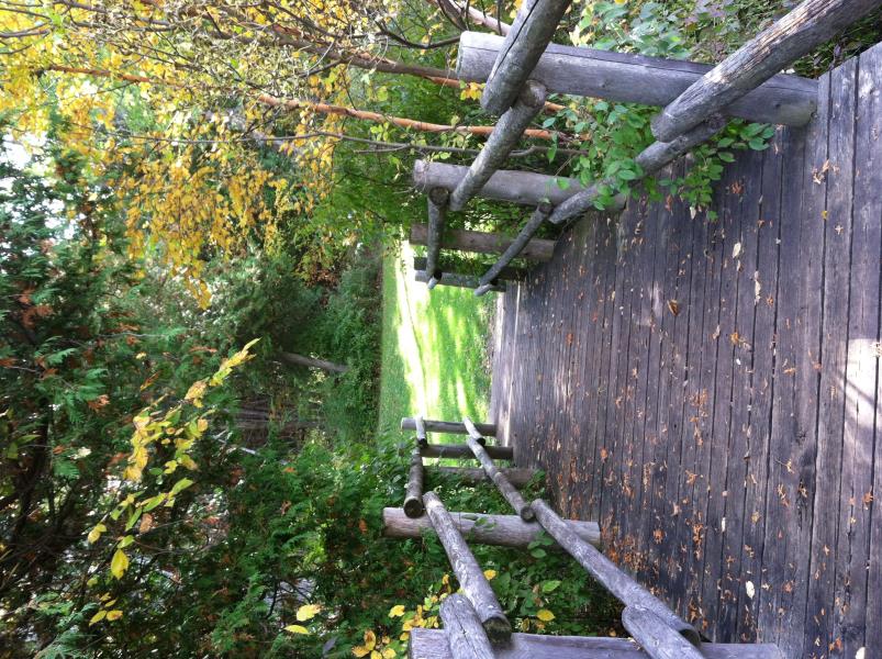
Outlet
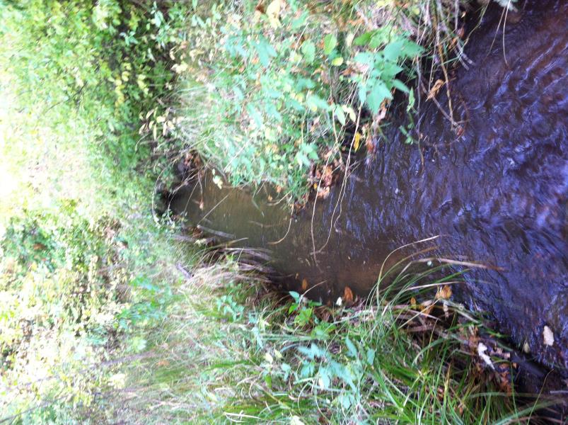
Downstream Conditions
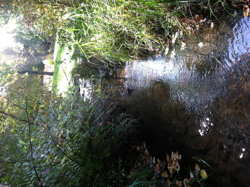
Upstream Conditions
Road Approach - Left
Road Approach - Right
Crossing Information
Type of Crossing: Bridge
Structure Shape: Open Bottom Square/Rectangle
Inlet Type: Other
Outlet Type: At Stream Grade
Structure Material: Wood
Structure Substrate: Mixture
General Conditions: Good
Structure Interior: smooth
Dimensions of Structure: Length 6.5 ft.
, Width 15.2 ft.
, Height 4.6 ft.
Structure is NOT Perched
Structure Inlet
Water Depth: 0.2 ft.
Embedded Depth of Structure: 0 ft.
Water Velocity*: 0.8 ft./sec.
Structure Outlet
Water Depth: 0.2 ft.
Embedded Depth of Structure: 0 ft.
Water Velocity*: 0.8 ft./sec.
*Water Velocities were measured at the Surface
(with Float Test)
Additional Comments
At Irontone Springs Trail
Stream Information
Stream Flow: Less than 1/2 Bankfull
Scour Pool: Length 0 ft.
, Width 0 ft.
, Depth 0 ft.
Upstream Pond: Length 0 ft.
, Width 0 ft.
, Depth 0 ft.
Riffle Information
Water Depth: 0.45 ft.
Bankfull Width: 6 ft.
Wetted Width: 2.9 ft.
Water Velocity: 0.85 ft./sec.
(Measured with Float Test)
Dominant Substrate: Sand
Road Information
Native Surface
Town Road
Road Condition: Good
Road Width at Culvert: 6.5 ft.
Location of Low Point: Other
Runoff Path: Ditch
Fill Depth: 0 ft.
Slope: Vertical
Fill Depth: 0 ft.
Slope: Vertical
Approaches
Left Approach
Length: 0 ft.
Slope: Less Than 1%
Vegetation: Heavy
LS Factor: 0.05
Erosion: 0 tons/year
Right Approach
Length: 0 ft.
Slope: Less Than 1%
Vegetation: Heavy
LS Factor: 0.05
Erosion: 0 tons/year
Erosion Information
Total Erosion at Crossing: 0 tons/year
Summary Information
Fish Passability 1
�