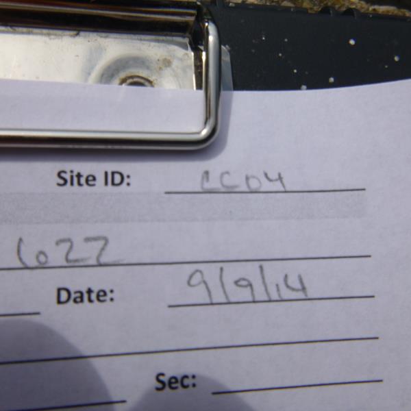
Road Stream Crossing Site UBR_CC04
Upper Black River Watershed, Canada Creek
Co Rd 622
Montmorency Twp,
Montmorency County
Information collected by:
Site Location
GPS Coordinates: 45.1142
, -84.19
T32N
R2E
Sec 33
Owned by Private
Fish Passability 0
Perch Height: 0.3 ft.
Total Erosion: 0.6512 tons/year
Severity: Severe
Year Inventoried: 2014
Site ID
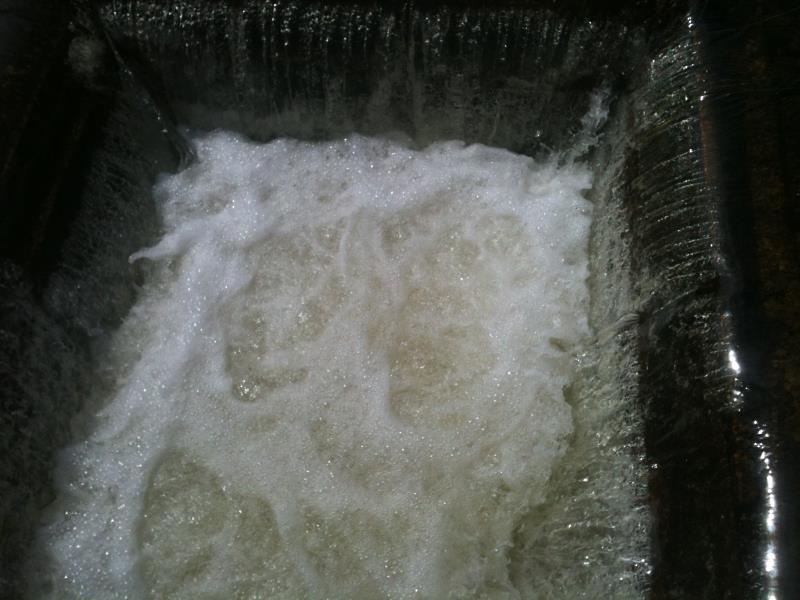
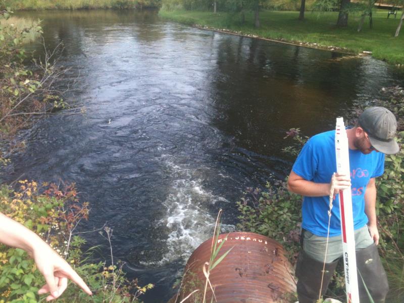
Inlet
Inlet
Outlet
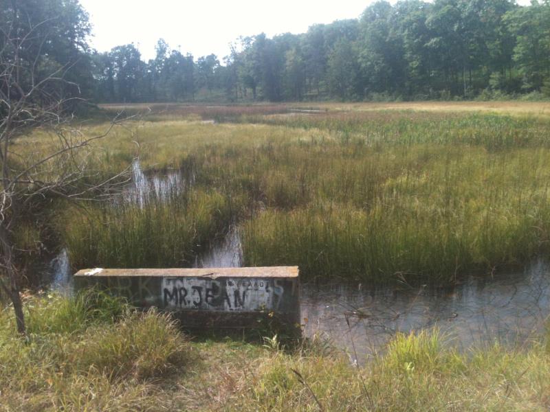
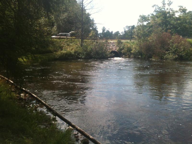
Upstream Conditions
Downstream Conditions
Road Approach - Right
Road Approach - Left
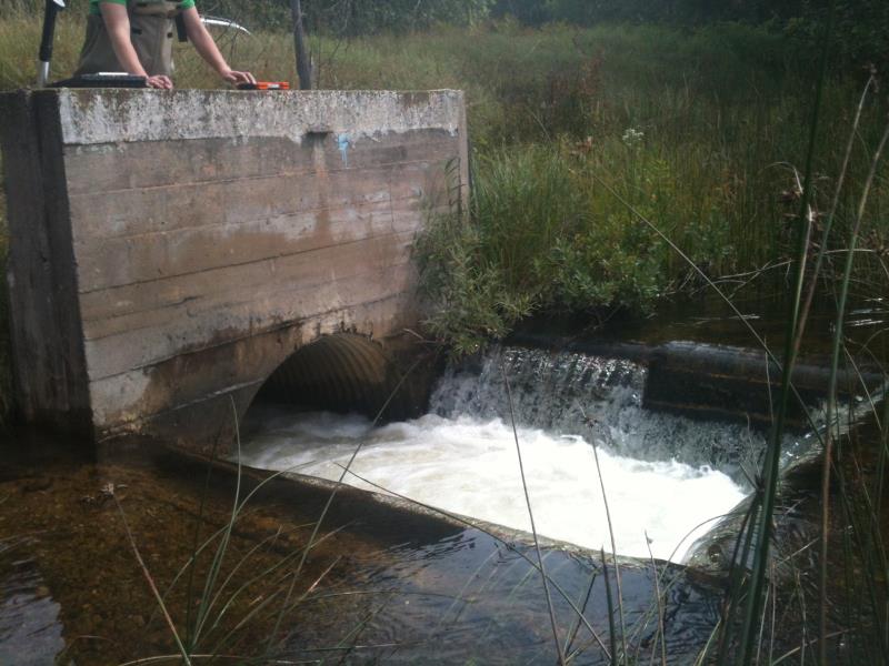
Crossing Information
Type of Crossing: Other
Structure Shape: Round
Inlet Type: Other
Outlet Type: Freefall into Pool
Structure Material: Metal
Structure Substrate: None
General Conditions: Poor
Structure Interior: corrugated
Dimensions of Structure: Length 80.5 ft.
, Width 4.5 ft.
, Height 4.5 ft.
Percentage Plugged:
Outlet: 0%
In Pipe: 1% to 25%
Perch Height: 0.3 ft.
Structure Inlet
Water Depth: 1.2 ft.
Embedded Depth of Structure: 0 ft.
Water Velocity*: 0.8 ft./sec.
Structure Outlet
Water Depth: 2.8 ft.
Embedded Depth of Structure: 0 ft.
Water Velocity*: 8 ft./sec.
*Water Velocities were measured 0.5 ft. below Surface
(with Meter)
Additional Comments
Square, vertical 'dam' leading to concrete culvert; app. 2-acre marsh upstream
Stream Information
Stream Flow: Less than 1/2 Bankfull
Scour Pool: Length 110 ft.
, Width 125 ft.
, Depth 8 ft.
Upstream Pond: Length 0 ft.
, Width 0 ft.
, Depth 0 ft.
Riffle Information
Water Depth: 1.4 ft.
Bankfull Width: 31 ft.
Wetted Width: 23 ft.
Water Velocity: 1.2 ft./sec.
(Measured with Meter)
Dominant Substrate: Gravel
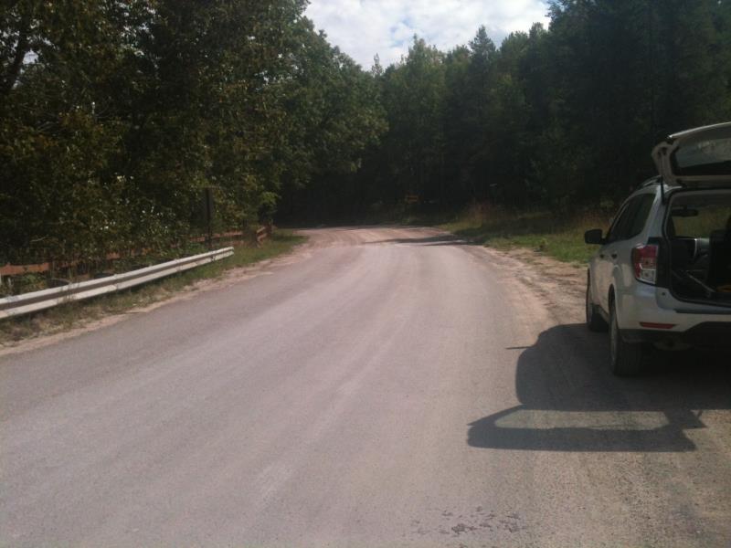
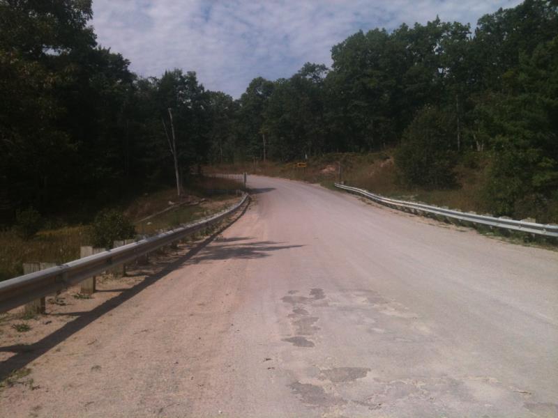
Road Information
Paved
County Road
Road Condition: Good
Road Width at Culvert: 32.4 ft.
Location of Low Point: At Stream
Runoff Path: Ditch
Embankments
Upstream
Fill Depth: 5.8 ft.
Slope: More than 1:2
Downstream
Fill Depth: 5 ft.
Slope: More than 1:2
Approaches
Left Approach
Length: 1000 ft.
Slope: 1% to 5%
Vegetation: Heavy
LS Factor: 0.57
Erosion: 0.6105 tons/year
Right Approach
Length: 100 ft.
Slope: 1% to 5%
Vegetation: Heavy
LS Factor: 0.38
Erosion: 0.0407 tons/year
Erosion Information
Total Erosion at Crossing: 0.6512 tons/year
Summary Information
Fish Passability 0
Fish Passage is an area of concern for this site.
Huge scour pool, owner said that several feet of bank have been eaten in last 10-15 years; perched culvert and 8 ft/s outlet makes fish passage impossible
A future visit to this site is recommended. It's wonky, check it out
�