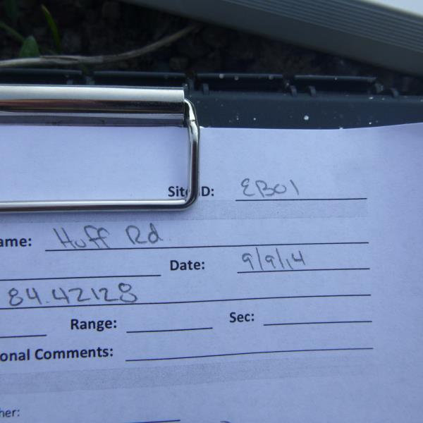
Road Stream Crossing Site UBR_EB01
Upper Black River Watershed, East Branch Black River
Huff Rd
Vienna Twp,
Montmorency County
Information collected by:
Site Location
GPS Coordinates: 45.04804
, -84.3284
T31N
R1E
Sec 28, 29
Owned by Private
Fish Passability 0
Structure is NOT Perched
Total Erosion: 10.6858 tons/year
Severity: Severe
Year Inventoried: 2014
Site ID
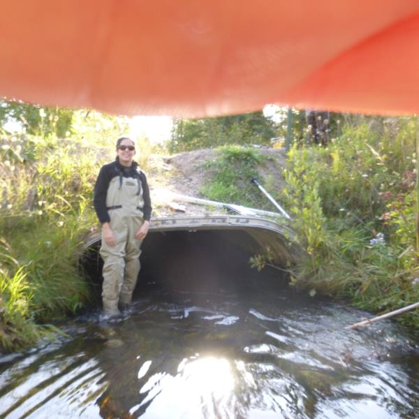
Inlet
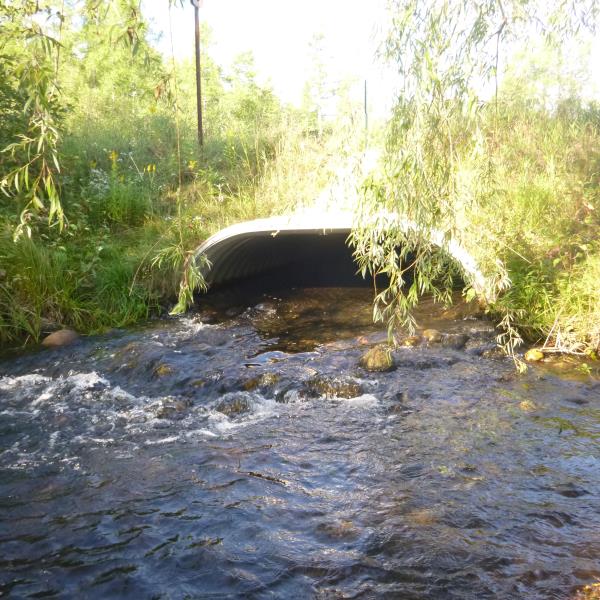
Outlet
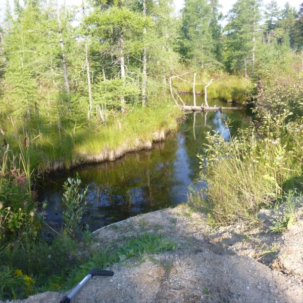
Upstream Conditions
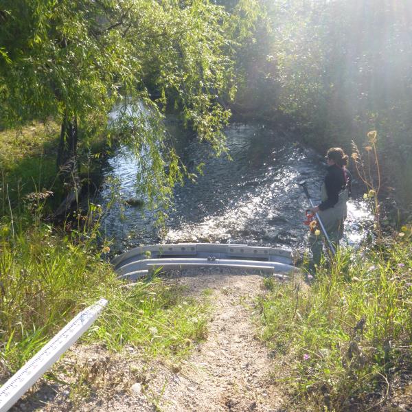
Downstream Conditions
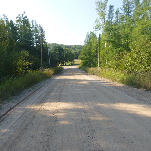
Road Approach - Right
Road Approach - Left
Crossing Information
Type of Crossing: culvert(s)
Number of Structures: 1
Structure Shape: Open Bottom Arch
Inlet Type: Projecting
Outlet Type: At Stream Grade
Structure Material: Metal
Structure Substrate: Rock
General Conditions: Good
Structure Interior: corrugated
Dimensions of Structure: Length 44.3 ft.
, Width 7.9 ft.
, Height 3.1 ft.
Structure is NOT Perched
Structure Inlet
Water Depth: 0.9 ft.
Embedded Depth of Structure: 0 ft.
Water Velocity*: 2.5 ft./sec.
Structure Outlet
Water Depth: 0.7 ft.
Embedded Depth of Structure: 0 ft.
Water Velocity*: 3.2 ft./sec.
*Water Velocities were measured 0.5 ft. below Surface
(with Meter)
Stream Information
Stream Flow: Less than Bankfull
Scour Pool: Length 0 ft.
, Width 0 ft.
, Depth 0 ft.
Upstream Pond: Length 0 ft.
, Width 0 ft.
, Depth 0 ft.
Riffle Information
Water Depth: 1.1 ft.
Bankfull Width: 18.4 ft.
Wetted Width: 14.7 ft.
Water Velocity: 1 ft./sec.
(Measured with Meter)
Dominant Substrate: Gravel
Road Information
Gravel
County Road
Road Condition: Good
Road Width at Culvert: 23.9 ft.
Location of Low Point: At Stream
Runoff Path: Ditch
Embankments
Upstream
Fill Depth: 2.2 ft.
Slope: More than 1:2
Downstream
Fill Depth: 2.4 ft.
Slope: More than 1:2
Approaches
Left Approach
Length: 660 ft.
Slope: 6% to 10%
Vegetation: Heavy
LS Factor: 1.791
Erosion: 7.7827 tons/year
Right Approach
Length: 800 ft.
Slope: 1% to 5%
Vegetation: Heavy
LS Factor: 0.55
Erosion: 2.897 tons/year
Erosion Information
Total Erosion at Crossing: 10.6858 tons/year
Extent of Erosion: Minor
Location of Erosion | Erosion Dimensions | Eroded Material | Material Eroded | Total Erosion | ||
facing downstream | Length | Width | Depth | Reaching Stream? | (tons/year) | |
Right Upstream Embankment |
7.9 ft. |
3 ft. |
0.7 ft. |
yes |
Sand |
0.0061 |
Summary Information
Fish Passability 0
These non-native species were observerd at this site: Spotted Knapweed
�