Road Stream Crossing Site UBR_EB03
Upper Black River Watershed, East Branch Black River
Blue Lakes Rd
Montmorency Twp,
Montmorency County
Information collected by:
Site Location
GPS Coordinates: 45.15245
, -84.29639
T32N
R1E
Sec 22
Owned by Private
Fish Passability 0.5
Structure is NOT Perched
Severity: Moderate
Year Inventoried: 2014
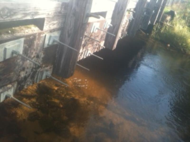
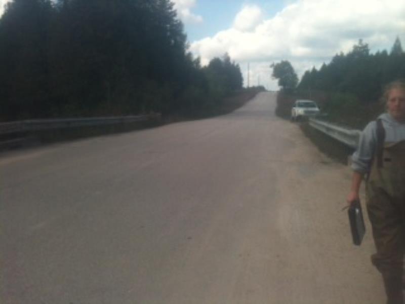
Inlet
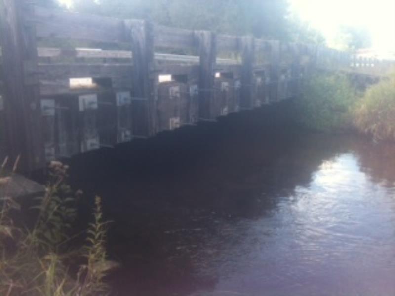
Outlet
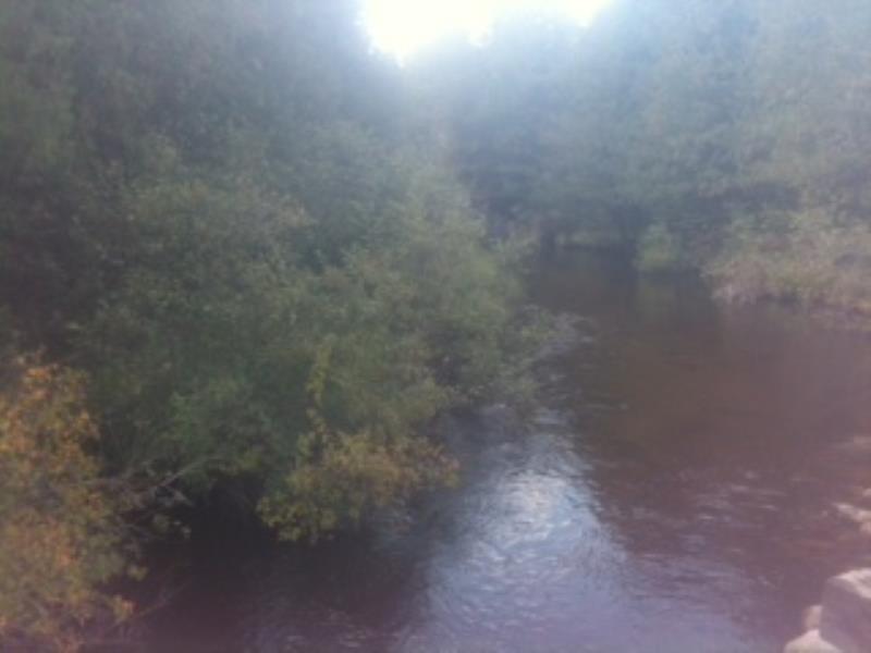
Upstream Conditions
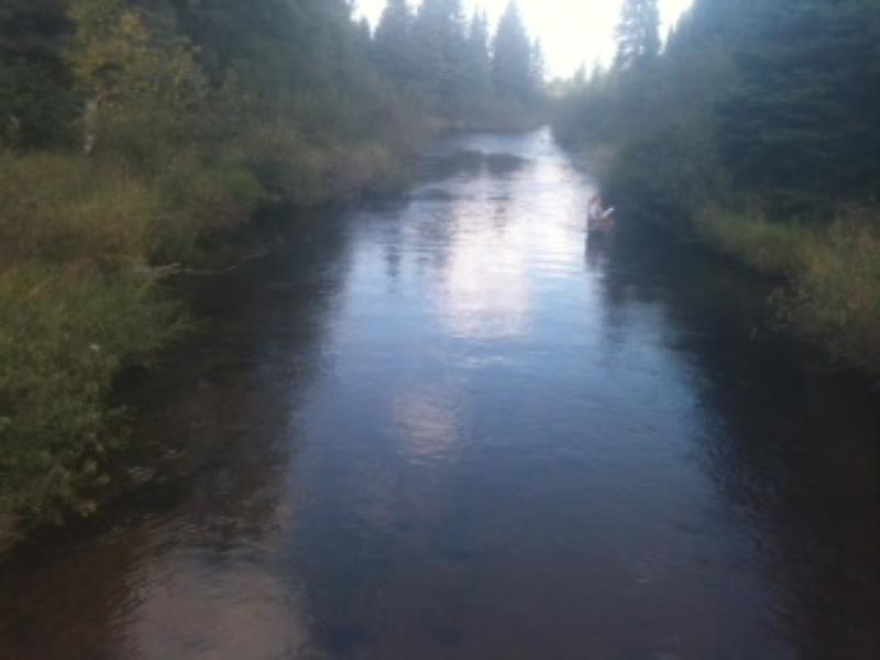
Downstream Conditions
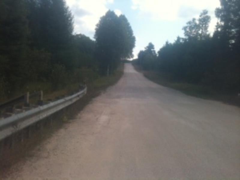
Road Approach - Right
Road Approach - Left
Crossing Information
Type of Crossing: Bridge
Structure Shape: Open Bottom Square/Rectangle
Inlet Type: Other
Outlet Type: At Stream Grade
Structure Material: Wood
Structure Substrate: None
General Conditions: Good
Structure Interior: smooth
Dimensions of Structure: Length 28.9 ft.
, Width 37.7 ft.
, Height 6 ft.
Structure is NOT Perched
Structure Inlet
Water Depth: 3.4 ft.
Embedded Depth of Structure: 0 ft.
Water Velocity*: 1.7 ft./sec.
Structure Outlet
Water Depth: 2.1 ft.
Embedded Depth of Structure: 0 ft.
Water Velocity*: 2.5 ft./sec.
*Water Velocities were measured 1.5 ft. below Surface
(with Meter)
Stream Information
Stream Flow: Less than Bankfull
Scour Pool: Length 0 ft.
, Width 0 ft.
, Depth 0 ft.
Upstream Pond: Length 0 ft.
, Width 0 ft.
, Depth 0 ft.
Riffle Information
Water Depth: 2 ft.
Bankfull Width: 39 ft.
Wetted Width: 35 ft.
Water Velocity: 1.7 ft./sec.
(Measured with Meter)
Dominant Substrate: Sand
Road Information
Paved
County Road
Road Condition: Good
Road Width at Culvert: 27.9 ft.
Location of Low Point: At Stream
Runoff Path: Ditch
Fill Depth: 0 ft.
Slope: Vertical
Fill Depth: 0 ft.
Slope: Vertical
Length: 500 ft.
Slope: 1% to 5%
Vegetation: Heavy
Vegetation: Heavy
Erosion Information
Summary Information
Fish Passability 0.5
�