Road Stream Crossing Site CHAR_EV15
Lake Charlevoix Watershed, Lake Charlevoix
Sweetbrier Lane
Eveline Twp,
Charlevoix County
Information collected by:
Site Location
GPS Coordinates: 45.25784
, -85.18495
T33N
R07W
Sec 17
Owned by Private
Other
Other
Total Erosion: 1.7196 tons/year
Severity: Moderate
Year Inventoried: 2011
Contact Point
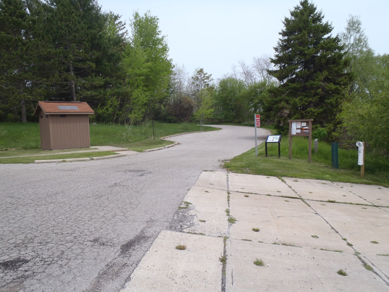
Road Approach - Left
Road Approach - Right
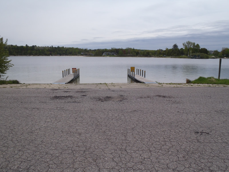
Crossing Information
Type of Crossing: Contact Point
General Conditions: Good
Additional Comments
Ironton access site and boat launch
Road Information
Paved
Town Road
Road Condition: Fair
Road Width at Culvert: 72 ft.
Location of Low Point: At Stream
Runoff Path: Roadway
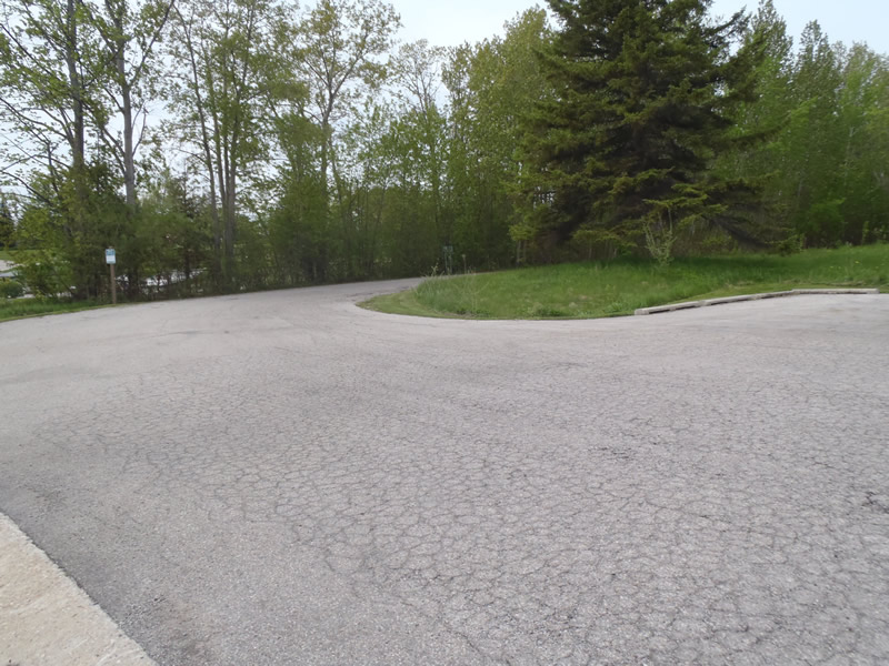
Approaches
Left Approach
Length: 348 ft.
Slope: 6% to 10%
Vegetation: Heavy
LS Factor: 1.462
Erosion: 1.2113 tons/year
Right Approach
Length: 438 ft.
Slope: 1% to 5%
Vegetation: Heavy
LS Factor: 0.488
Erosion: 0.5083 tons/year
Erosion Information
Total Erosion at Crossing: 1.7196 tons/year
Summary Information
�