Road Stream Crossing Site UBR_LR02.7
Upper Black River Watershed, Little Rainy River
3 Mile Hwy
Allis Twp,
Presque Isle County
Information collected by:
Site Location
GPS Coordinates: 45.31096
, -84.14902
T34N
R2E
Sec 25
Owned by Private
Fish Passability 0
Structure is NOT Perched
Total Erosion: 4.4229 tons/year
Severity: Severe
Year Inventoried: 2014
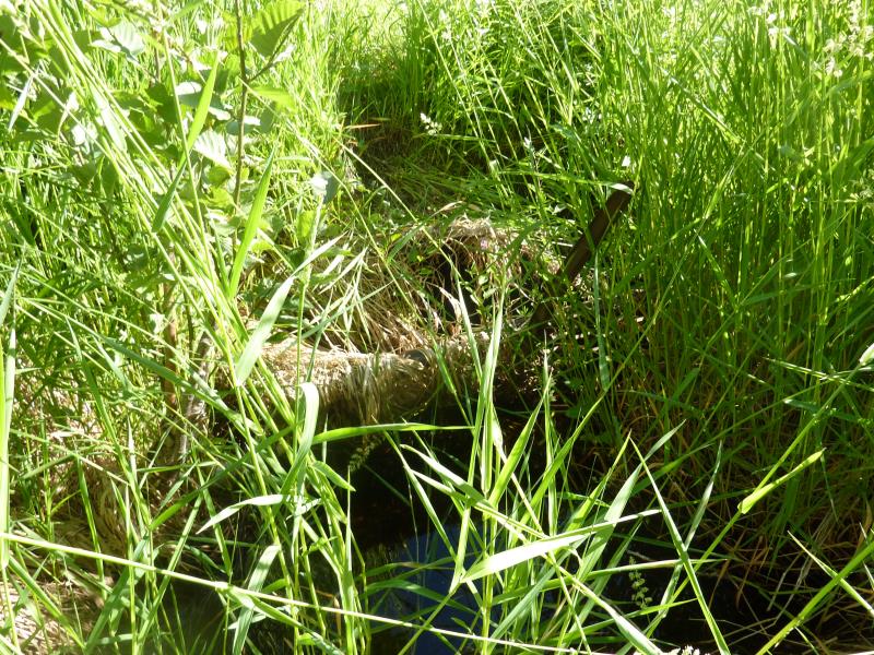
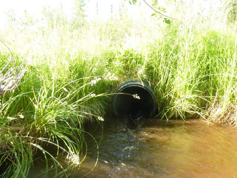
Inlet
Outlet
Upstream Conditions
Downstream Conditions
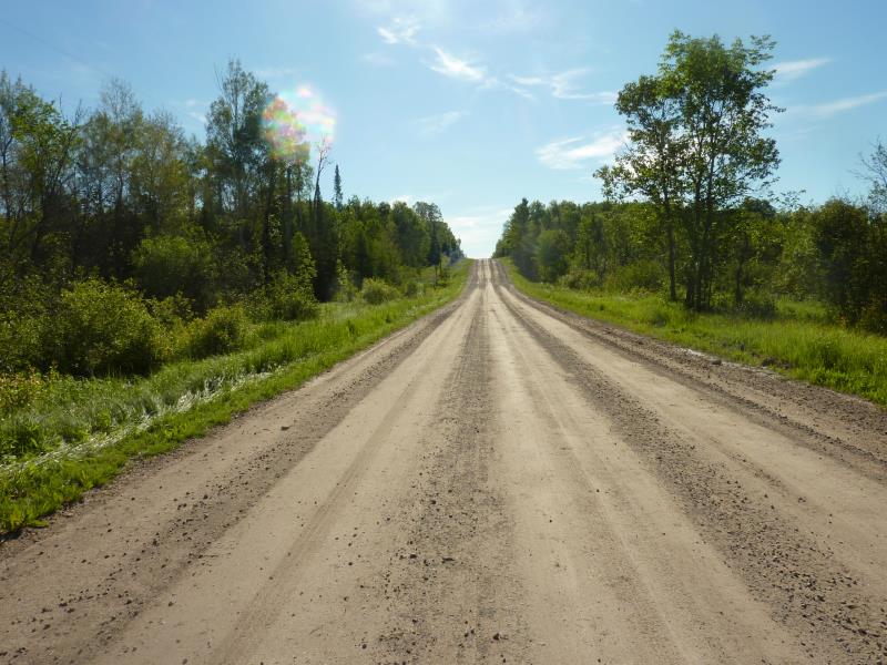
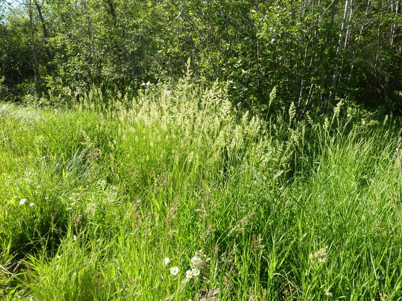
Road Approach - Right
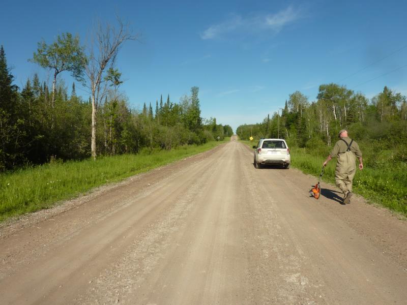
Road Approach - Left
Crossing Information
Type of Crossing: culvert(s)
Number of Structures: 1
Structure Shape: Round
Inlet Type: Trash Rack
Outlet Type: At Stream Grade
Structure Material: Plastic
Structure Substrate: None
General Conditions: Good
Structure Interior: smooth
Dimensions of Structure: Length 42 ft.
, Width 2 ft.
, Height 2 ft.
Percentage Plugged:
Inlet: 1% to 25%
Outlet: 0%
In Pipe: 0%
Structure is NOT Perched
Structure Inlet
Water Depth: 0.8 ft.
Embedded Depth of Structure: 0 ft.
Water Velocity*: 0.5 ft./sec.
Structure Outlet
Water Depth: 0.4 ft.
Embedded Depth of Structure: 0 ft.
Water Velocity*: 4.5 ft./sec.
*Water Velocities were measured 0.3 ft. below Surface
(with Meter)
Additional Comments
bank undercutting 4 inches at outlet
Stream Information
Stream Flow: Less than Bankfull
Scour Pool: Length 20.4 ft.
, Width 11.4 ft.
, Depth 1.9 ft.
Upstream Pond: Length 7 ft.
, Width 5 ft.
, Depth 1.3 ft.
Riffle Information
Water Depth: 0.5 ft.
Bankfull Width: 10.6 ft.
Wetted Width: 10 ft.
Water Velocity: 0.1 ft./sec.
(Measured with Meter)
Dominant Substrate: Sand
Road Information
Gravel
County Road
Road Condition: Good
Road Width at Culvert: 26.5 ft.
Location of Low Point: At Stream
Runoff Path: Ditch
Embankments
Upstream
Fill Depth: 1.7 ft.
Slope: More than 1:2
Downstream
Fill Depth: 2 ft.
Slope: More than 1:2
Approaches
Left Approach
Length: 282 ft.
Slope: 1% to 5%
Vegetation: Heavy
LS Factor: 0.453
Erosion: 0.9322 tons/year
Right Approach
Length: 860 ft.
Slope: 1% to 5%
Vegetation: Heavy
LS Factor: 0.556
Erosion: 3.4907 tons/year
Erosion Information
Total Erosion at Crossing: 4.4229 tons/year
Extent of Erosion: Severe
Summary Information
Fish Passability 0
Fish Passage is an area of concern for this site.
high water velocity
A future visit to this site is recommended. erosion
�