Road Stream Crossing Site UBR_LR03.8
Upper Black River Watershed, Little Rainy River
3 Mile Hwy
Allis Twp,
Presque Isle County
Information collected by:
Site Location
GPS Coordinates: 45.31081
, -84.19584
T34N
R2E
Sec 21
Owned by Private
Fish Passability 0.9
Structure is NOT Perched
Total Erosion: 2.6191 tons/year
Severity: Severe
Year Inventoried: 2014
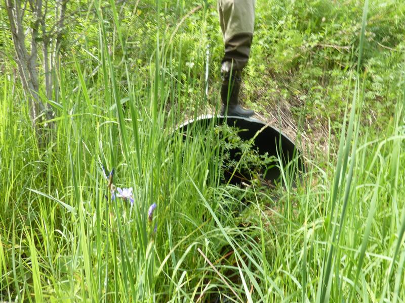
Inlet
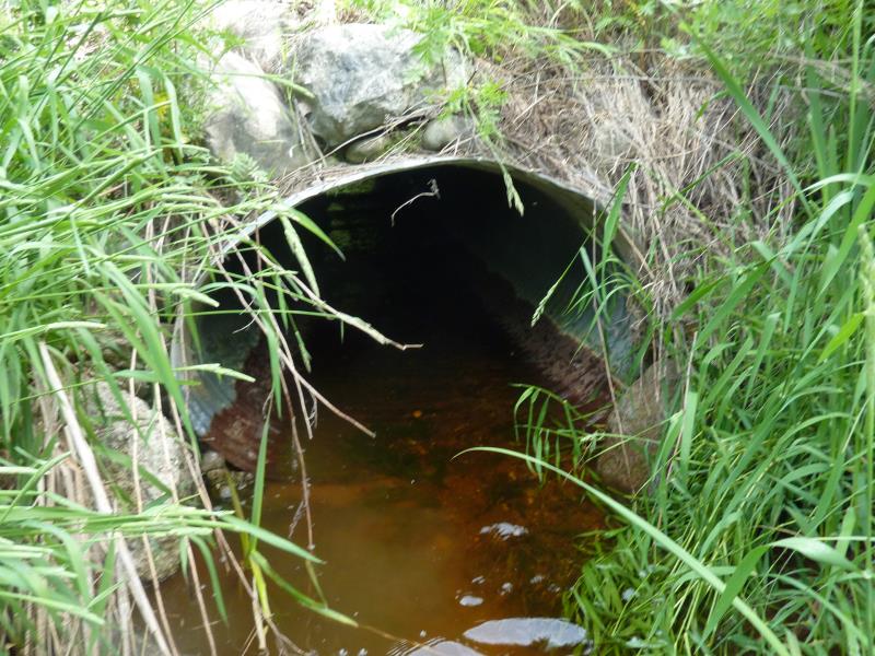
Outlet
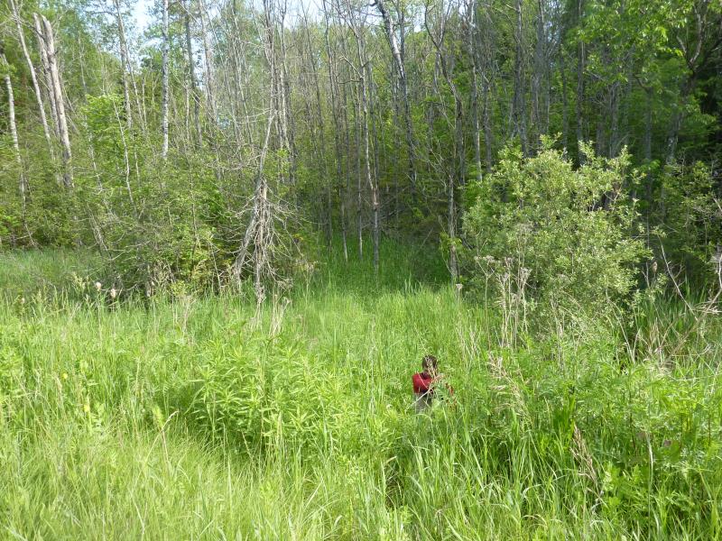
Upstream Conditions
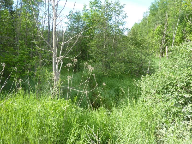
Downstream Conditions
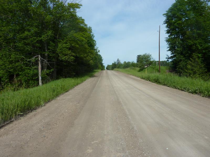
Road Approach - Right
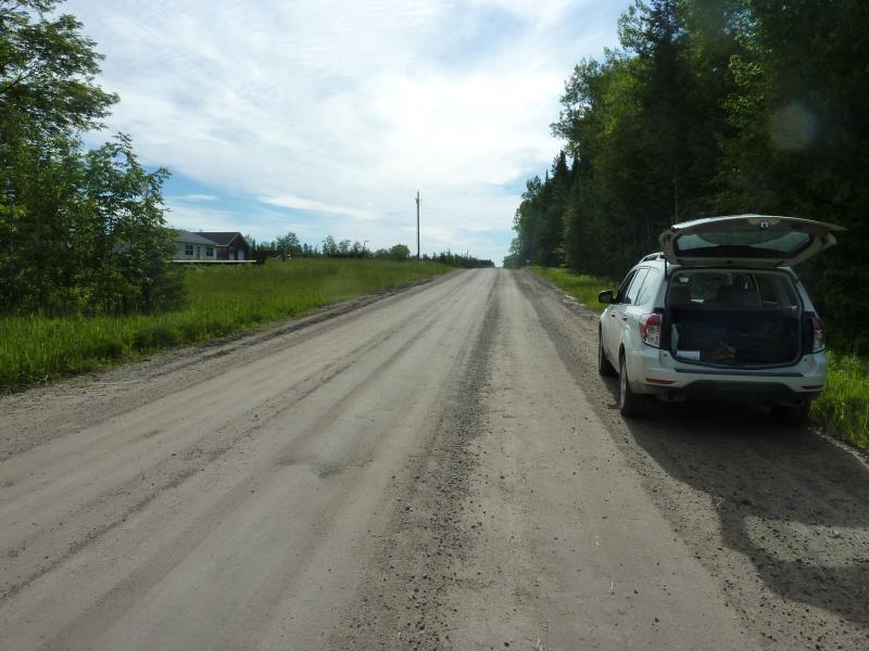
Road Approach - Left
Crossing Information
Type of Crossing: culvert(s)
Number of Structures: 1
Structure Shape: Round
Inlet Type: Projecting
Outlet Type: At Stream Grade
Structure Material: Metal
Structure Substrate: Sand
General Conditions: Fair
Structure Interior: corrugated
Dimensions of Structure: Length 61.8 ft.
, Width 4.6 ft.
, Height 3.3 ft.
Structure is NOT Perched
Structure Inlet
Water Depth: 0.2 ft.
Embedded Depth of Structure: 0.1 ft.
Water Velocity*: 0.2 ft./sec.
Structure Outlet
Water Depth: 0.4 ft.
Embedded Depth of Structure: 0.1 ft.
Water Velocity*: 0.2 ft./sec.
*Water Velocities were measured 0.1 ft. below Surface
(with Meter)
Additional Comments
Sand and filamentous algae
Stream Information
Stream Flow: Less than Bankfull
Scour Pool: Length 14 ft.
, Width 10 ft.
, Depth 1.7 ft.
Upstream Pond: Length 0 ft.
, Width 0 ft.
, Depth 0 ft.
Riffle Information
Water Depth: 0.5 ft.
Bankfull Width: 18.6 ft.
Wetted Width: 8.5 ft.
Water Velocity: 0.1 ft./sec.
(Measured with Meter)
Dominant Substrate: Organics
Road Information
Gravel
County Road
Road Condition: Good
Road Width at Culvert: 29.5 ft.
Location of Low Point: At Stream
Runoff Path: Ditch
Embankments
Upstream
Fill Depth: 4.8 ft.
Slope: 1:2
Downstream
Fill Depth: 5.7 ft.
Slope: 1:2
Approaches
Left Approach
Length: 317 ft.
Slope: 1% to 5%
Vegetation: Heavy
LS Factor: 0.463
Erosion: 1.1938 tons/year
Right Approach
Length: 370 ft.
Slope: 1% to 5%
Vegetation: Heavy
LS Factor: 0.474
Erosion: 1.4253 tons/year
Erosion Information
Total Erosion at Crossing: 2.6191 tons/year
Extent of Erosion: Moderate
Summary Information
Fish Passability 0.9
�