Road Stream Crossing Site UBR_LR04
Upper Black River Watershed, Little Rainy River
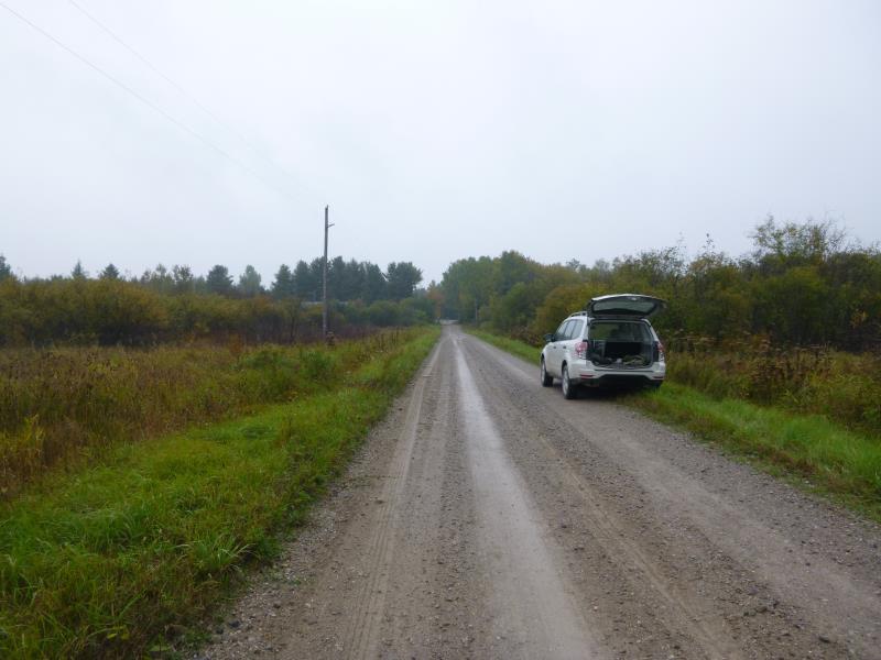
Minier Rd
Allis Twp,
Presque Isle County
Information collected by:
Site Location
GPS Coordinates: 45.29184
, -84.19743
T34N
R2E
Sec 33
Owned by Private
Fish Passability 0.5
Structure is NOT Perched
Total Erosion: 3.7148 tons/year
Severity: Severe
Year Inventoried: 2014
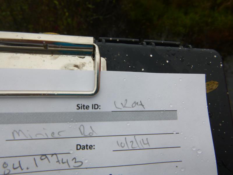
Site ID
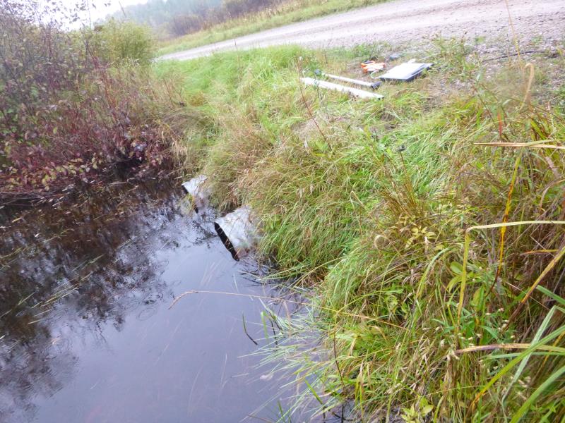
Inlet
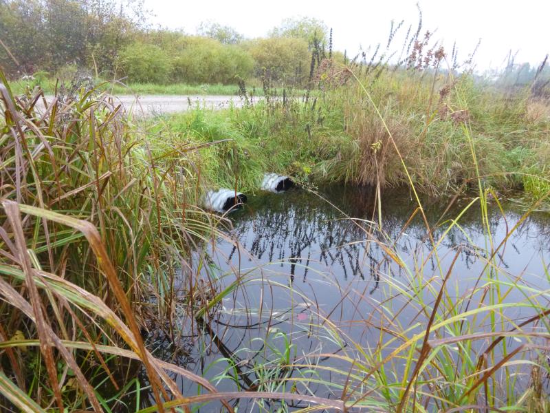
Outlet
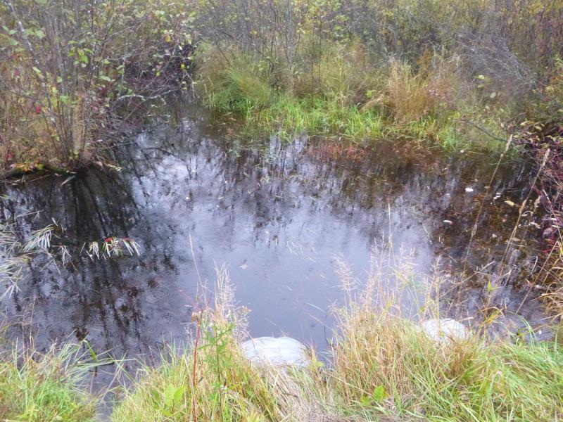
Upstream Conditions
Downstream Conditions
Road Approach - Right
Road Approach - Left
Crossing Information
Type of Crossing: culvert(s)
Number of Structures: 2
Structure Shape: Round
Inlet Type: Projecting
Outlet Type: At Stream Grade
Structure Material: Metal
Structure Substrate: None
General Conditions: Good
Multiple Culverts/Spans | ||||
Culvert/Span | Width | Length | Height | Material |
1 |
2 ft. |
30 ft. |
2 ft. |
Metal |
2 |
2 ft. |
30 ft. |
2.1 ft. |
Metal |
Structure Interior: corrugated
Dimensions of Structure: Length 30 ft.
, Width 2 ft.
, Height 2 ft.
Structure is NOT Perched
Structure Inlet
Water Depth: 1.6 ft.
Embedded Depth of Structure: 0 ft.
Water Velocity*: 0.1 ft./sec.
Structure Outlet
Water Depth: 1.5 ft.
Embedded Depth of Structure: 0 ft.
Water Velocity*: 0.1 ft./sec.
*Water Velocities were measured 0.2 ft. below Surface
(with Meter)
Stream Information
Stream Flow: Less than Bankfull
Scour Pool: Length 0 ft.
, Width 0 ft.
, Depth 0 ft.
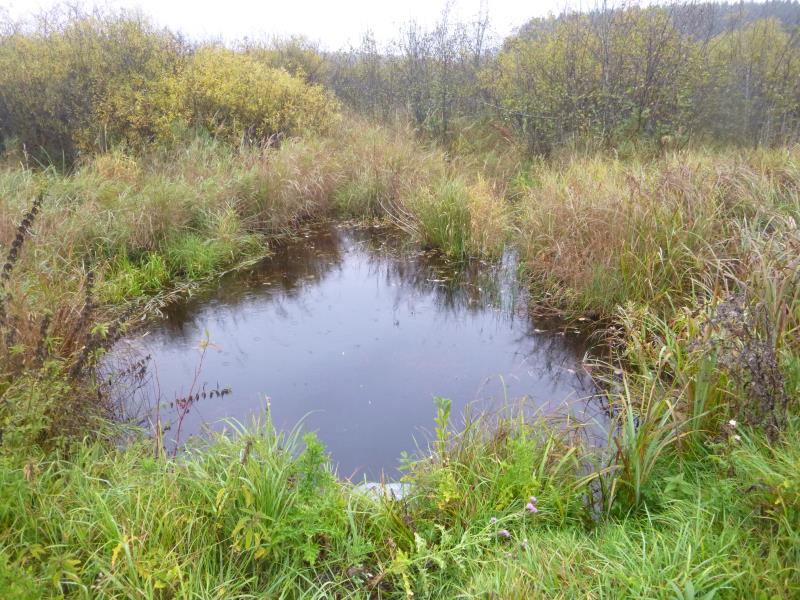
Upstream Pond: Length 15 ft.
, Width 26 ft.
, Depth 2 ft.
Riffle Information
Water Depth: 0 ft.
Bankfull Width: 0 ft.
Wetted Width: 0 ft.
Water Velocity: 0 ft./sec.
(Measured with Meter)
Dominant Substrate: Organics
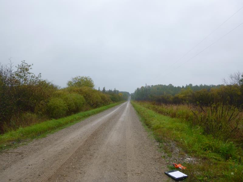
Road Information
Gravel
County Road
Road Condition: Good
Road Width at Culvert: 13 ft.
Location of Low Point: At Stream
Runoff Path: Ditch
Embankments
Upstream
Fill Depth: 0.9 ft.
Slope: More than 1:2
Downstream
Fill Depth: 1 ft.
Slope: More than 1:2
Approaches
Left Approach
Length: 1000 ft.
Slope: 1% to 5%
Vegetation: Heavy
LS Factor: 0.57
Erosion: 2.0413 tons/year
Right Approach
Length: 843 ft.
Slope: 1% to 5%
Vegetation: Heavy
LS Factor: 0.554
Erosion: 1.6734 tons/year
Erosion Information
Total Erosion at Crossing: 3.7148 tons/year
Summary Information
Fish Passability 0.5
A future visit to this site is recommended. There is a significant pool at the inlet, which may be a flood hazard with the two undersized culverts during a highwater event. The area is surrounded by a low marsh floodplane that may mitigate that effect.
These non-native species were observerd at this site: Spotted Knapweed
�