Road Stream Crossing Site UBR_MB01
Upper Black River Watershed, Black River Main Branch
Sparr Rd (F44)
Charlton Twp,
Otsego County
Information collected by:
Site Location
GPS Coordinates: 45.05391
, -84.42929
T31N
R1W
Sec 27, 28
Owned by Private
State
State
Fish Passability 0
Structure is NOT Perched
Total Erosion: 0.8689 tons/year
Severity: Severe
Year Inventoried: 2014
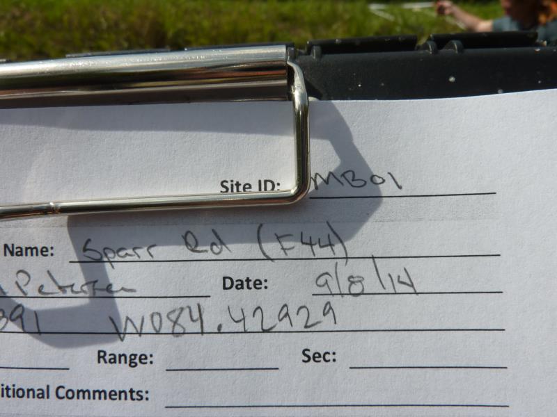
Site ID
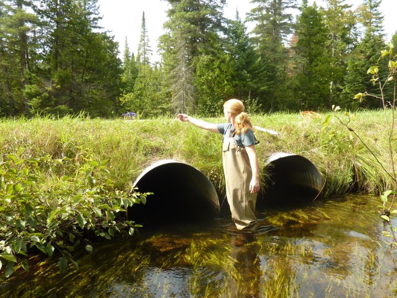
Inlet
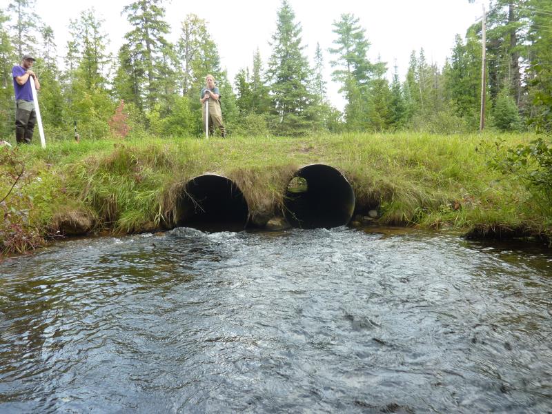
Outlet
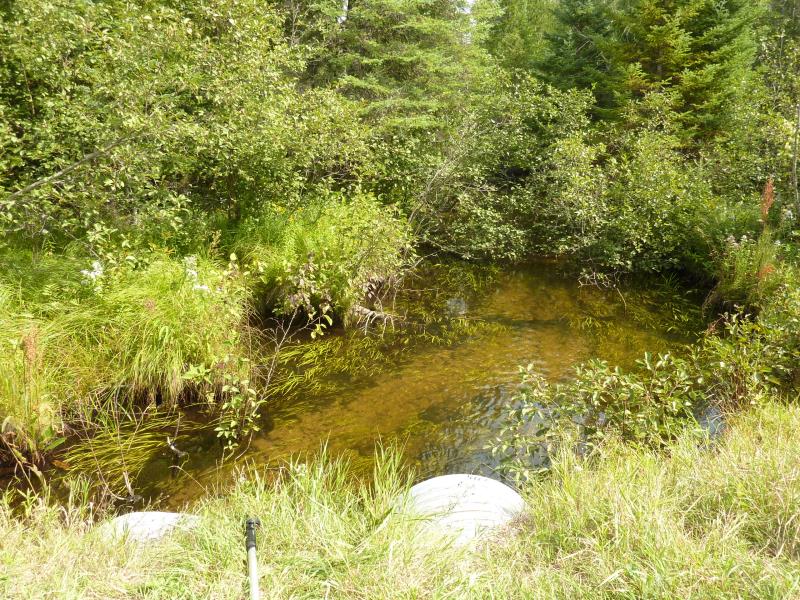
Upstream Conditions
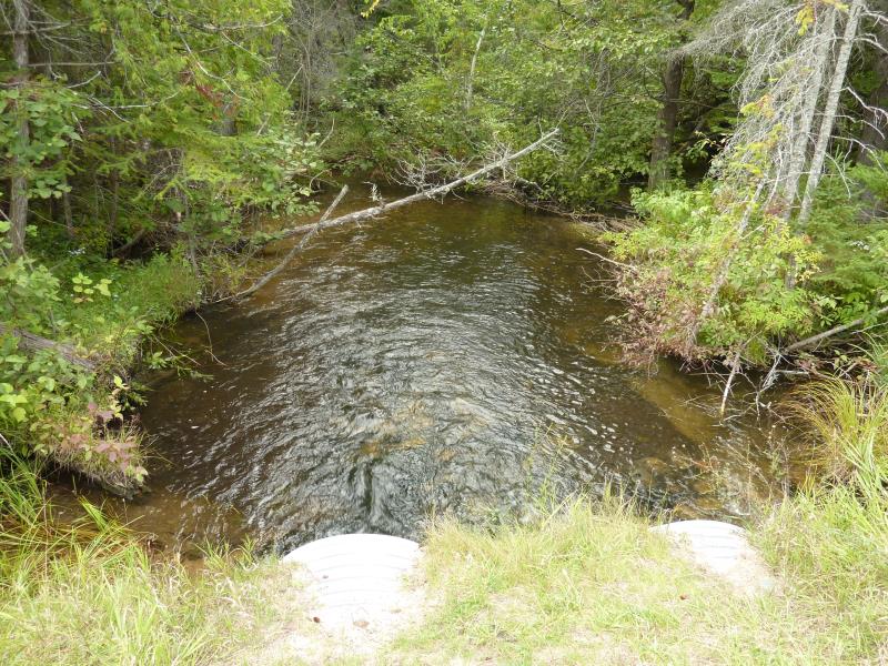
Downstream Conditions
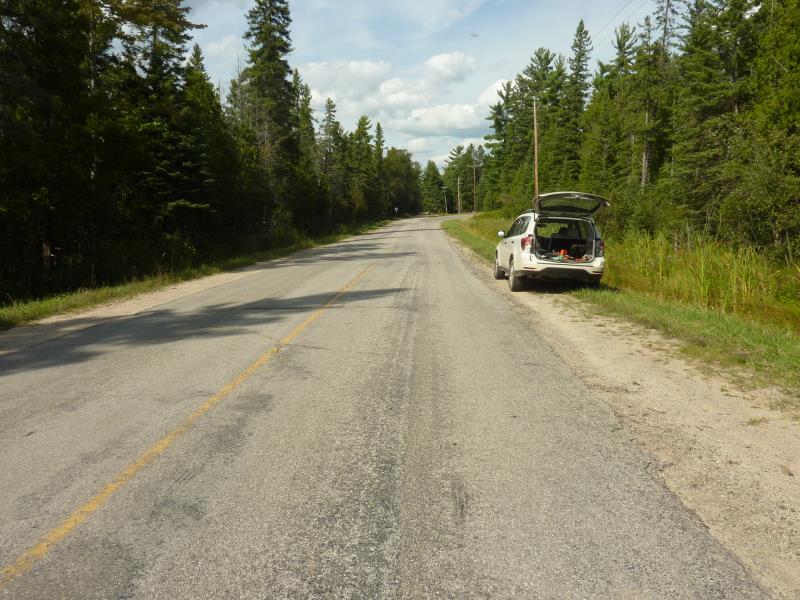
Road Approach - Right
Road Approach - Left
Crossing Information
Type of Crossing: culvert(s)
Number of Structures: 2
Structure Shape: Round
Inlet Type: Projecting
Outlet Type: Cascade over Riprap
Structure Material: Metal
Structure Substrate: None
General Conditions: Good
Multiple Culverts/Spans | ||||
Culvert/Span | Width | Length | Height | Material |
1 |
3.5 ft. |
49.4 ft. |
3.6 ft. |
Metal |
2 |
3.5 ft. |
49.4 ft. |
3.3 ft. |
Metal |
Structure Interior: corrugated
Dimensions of Structure: Length 49.4 ft.
, Width 3.5 ft.
, Height 3.6 ft.
Structure is NOT Perched
Structure Inlet
Water Depth: 1.5 ft.
Embedded Depth of Structure: 0 ft.
Water Velocity*: 1.5 ft./sec.
Structure Outlet
Water Depth: 1.2 ft.
Embedded Depth of Structure: 0 ft.
Water Velocity*: 5.1 ft./sec.
*Water Velocities were measured 1.3 ft. below Surface
(with Meter)
Additional Comments
#1 main culvert with data
Stream Information
Stream Flow: Less than Bankfull
Scour Pool: Length 29.2 ft.
, Width 22.6 ft.
, Depth 2.3 ft.
Upstream Pond: Length 28 ft.
, Width 22.4 ft.
, Depth 1.8 ft.
Riffle Information
Water Depth: 1.5 ft.
Bankfull Width: 18.3 ft.
Wetted Width: 15.8 ft.
Water Velocity: 1 ft./sec.
(Measured with Meter)
Dominant Substrate: Sand
Road Information
Paved
County Road
Road Condition: Fair
Road Width at Culvert: 29.8 ft.
Location of Low Point: At Stream
Runoff Path: Ditch
Embankments
Upstream
Fill Depth: 1.6 ft.
Slope: More than 1:2
Downstream
Fill Depth: 2.1 ft.
Slope: More than 1:2
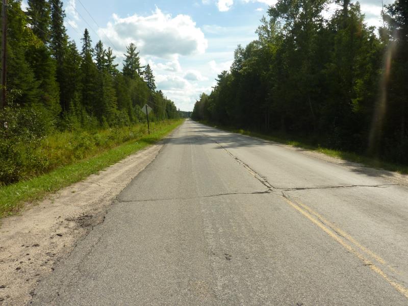
Approaches
Left Approach
Length: 1000 ft.
Slope: 1% to 5%
Vegetation: Heavy
LS Factor: 0.57
Erosion: 0.5615 tons/year
Right Approach
Length: 600 ft.
Slope: 1% to 5%
Vegetation: Heavy
LS Factor: 0.52
Erosion: 0.3074 tons/year
Erosion Information
Total Erosion at Crossing: 0.8689 tons/year
Summary Information
Fish Passability 0
Fish Passage is an area of concern for this site.
Extremely strong current leaving culverts
A future visit to this site is recommended. Monitor year -round flow
These non-native species were observerd at this site: Spotted Knapweed
�