Road Stream Crossing Site UBR_MB02
Upper Black River Watershed, Unnamed tributary Upper Black River
Johnson Crossing
Charlton Twp,
Otsego County
Information collected by:
Site Location
GPS Coordinates: 45.04707
, -84.42149
T31N
R1W
Sec 27
Owned by Private
State
State
Fish Passability 0.5
Structure is NOT Perched
Total Erosion: 0.5152 tons/year
Severity: Moderate
Year Inventoried: 2014
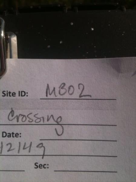
Site ID
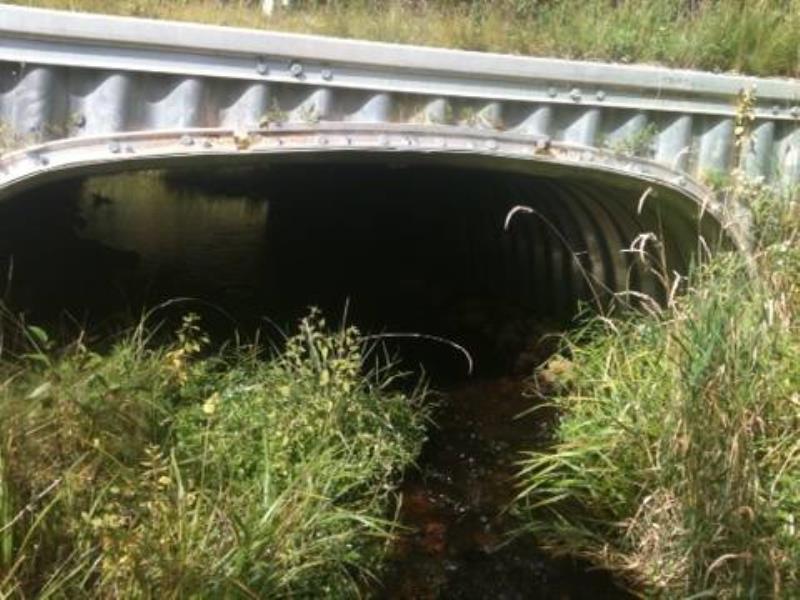
Inlet
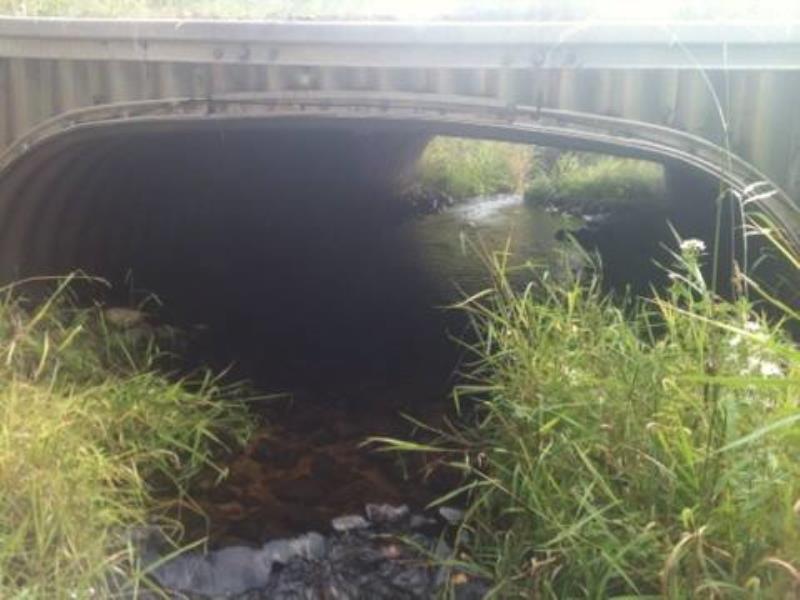
Outlet
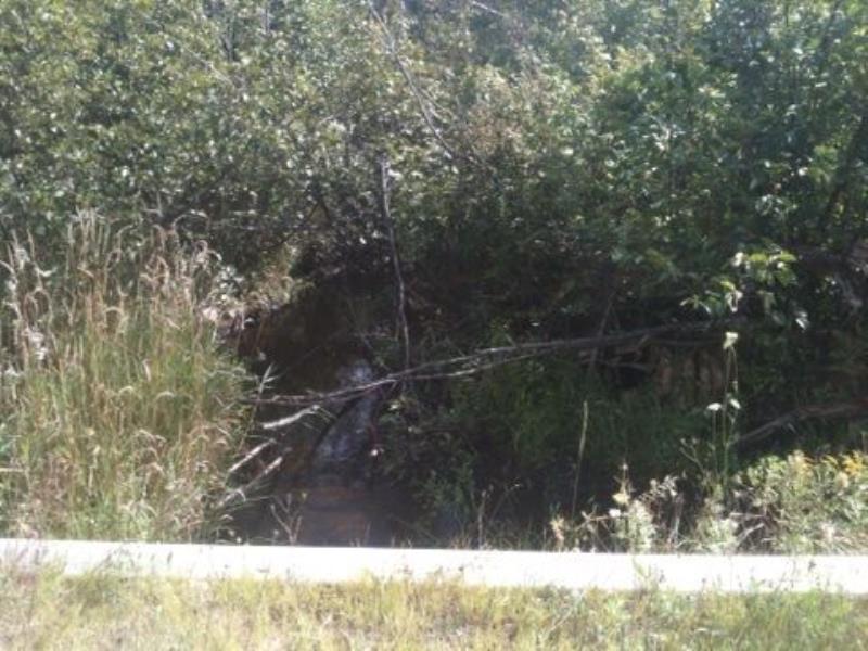
Upstream Conditions
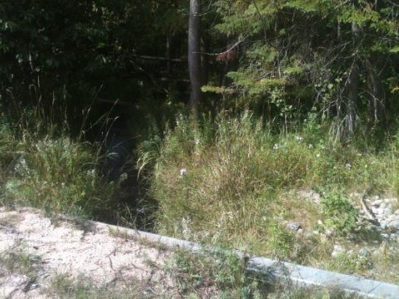
Downstream Conditions
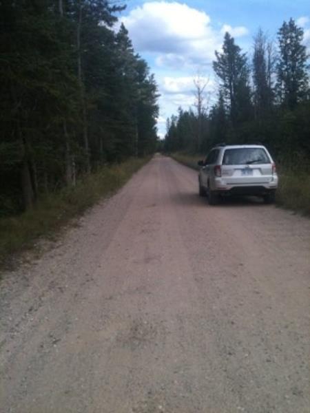
Road Approach - Right
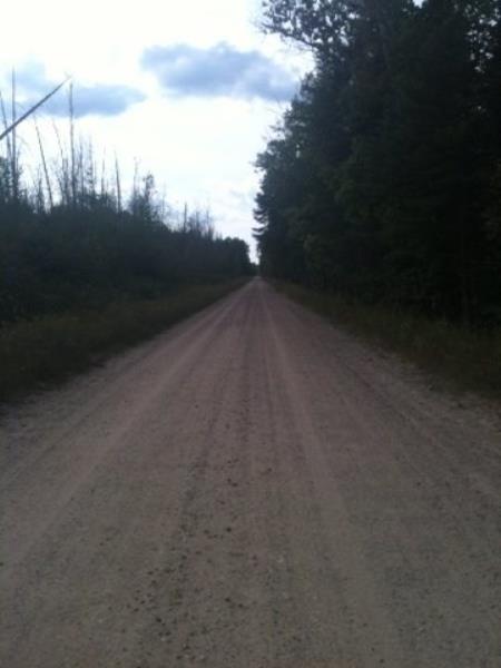
Road Approach - Left
Crossing Information
Type of Crossing: culvert(s)
Number of Structures: 1
Structure Shape: Open Bottom Arch
Inlet Type: Wingwall 30-70 Degree
Outlet Type: At Stream Grade
Structure Material: Metal
Structure Substrate: Rock
General Conditions: New
Structure Interior: corrugated
Dimensions of Structure: Length 31.8 ft.
, Width 11.7 ft.
, Height 4.5 ft.
Structure is NOT Perched
Structure Inlet
Water Depth: 0.6 ft.
Embedded Depth of Structure: 0 ft.
Water Velocity*: 2.5 ft./sec.
Structure Outlet
Water Depth: 0.8 ft.
Embedded Depth of Structure: 0 ft.
Water Velocity*: 0.6 ft./sec.
*Water Velocities were measured at the Surface
(with Meter)
Stream Information
Stream Flow: Less than 1/2 Bankfull
Scour Pool: Length 0 ft.
, Width 0 ft.
, Depth 0 ft.
Upstream Pond: Length 0 ft.
, Width 0 ft.
, Depth 0 ft.
Riffle Information
Water Depth: 0.8 ft.
Bankfull Width: 10.5 ft.
Wetted Width: 4.2 ft.
Water Velocity: 0.4 ft./sec.
(Measured with Meter)
Dominant Substrate: Sand
Road Information
Gravel
County Road
Road Condition: Good
Road Width at Culvert: 18.7 ft.
Location of Low Point: At Stream
Runoff Path: Ditch
Fill Depth: 0 ft.
Fill Depth: 0.5 ft.
Slope: More than 1:2
Approaches
Left Approach
Length: 1000 ft.
Slope: Less Than 1%
Vegetation: Heavy
LS Factor: 0.05
Erosion: 0.2576 tons/year
Right Approach
Length: 1000 ft.
Slope: Less Than 1%
Vegetation: Heavy
LS Factor: 0.05
Erosion: 0.2576 tons/year
Erosion Information
Total Erosion at Crossing: 0.5152 tons/year
Summary Information
Fish Passability 0.5
�