Road Stream Crossing Site UBR_MB09.5
Upper Black River Watershed, McMasters Creek
Clute Rd
Nunda Twp,
Cheboygan County
Information collected by:
Site Location
GPS Coordinates: 45.25989
, -84.39298
T33N
R1W
Sec 3
Owned by State
Year Inventoried: 2014
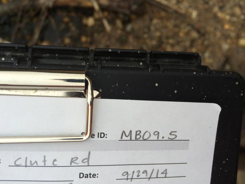
Site ID
Inlet
Outlet
Upstream Conditions
Downstream Conditions
Road Approach - Right
Road Approach - Left
Other
Crossing Information
Type of Crossing: culvert(s)
Number of Structures: 1
Structure Shape: Round
Inlet Type: Projecting
Outlet Type: Other
Structure Material: Metal
Structure Substrate: Mixture
General Conditions: Poor
Structure Interior: corrugated
, Width 1.5 ft.
Percentage Plugged:
Inlet: 76% to 100%
Percentage Crushed:
Inlet: 76% to 100%
Water Velocity*: 0 ft./sec.
Water Velocity*: 0 ft./sec.
*Water Velocities were measured at the Surface
(with Meter)
Additional Comments
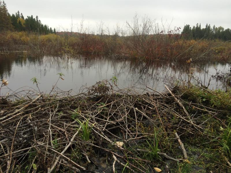
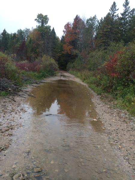
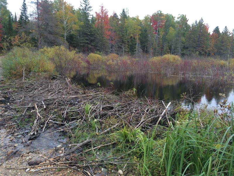
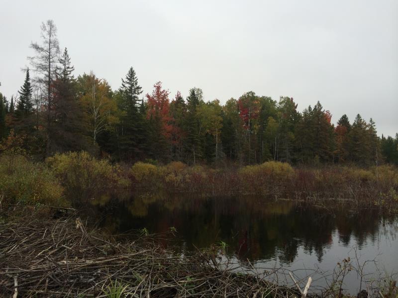
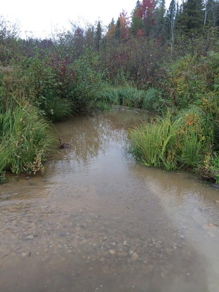
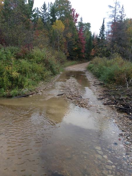
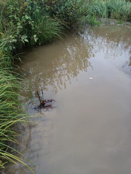
culvert completely buried by upstream beaver dam, enroaching onto road; water spilling over road
Stream Information
Stream Flow: None
Scour Pool: Length 0 ft.
, Width 0 ft.
, Depth 0 ft.
Upstream Pond: Length 100 ft.
, Width 100 ft.
, Depth 5 ft.
Riffle Information
Water Depth: 0 ft.
Bankfull Width: 0 ft.
Wetted Width: 0 ft.
Water Velocity: 0 ft./sec.
(Measured with Meter)
Dominant Substrate: Organics
Road Information
Gravel
County Road
Road Condition: Poor
Location of Low Point: At Stream
Runoff Path: Roadway
Fill Depth: 0 ft.
Slope: Vertical
Fill Depth: 0 ft.
Slope: Vertical
Length: 1000 ft.
Slope: Less Than 1%
Vegetation: Heavy
Length: 1000 ft.
Slope: Less Than 1%
Vegetation: Heavy
Erosion Information
Summary Information
Fish Passage is an area of concern for this site.
YES! Completely blocked and inundating road
A future visit to this site is recommended. Needs to be cleared
�