Road Stream Crossing Site UBR_MB09.7
Upper Black River Watershed, McMasters Creek
Osmun Rd
Nunda Twp,
Cheboygan County
Information collected by:
Site Location
GPS Coordinates: 45.251
, -84.41053
T33N
R1W
Sec 15
Owned by State
Fish Passability 0
Perch Height: 0.1 ft.
Total Erosion: 0.2342 tons/year
Severity: Severe
Year Inventoried: 2014
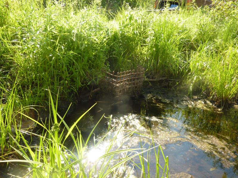
Inlet
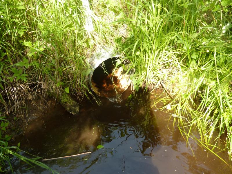
Outlet

Upstream Conditions
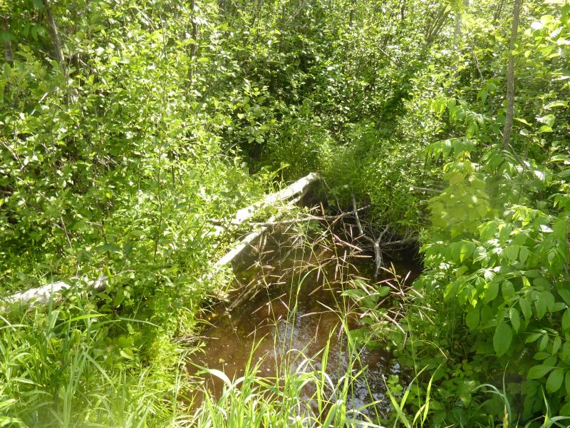
Downstream Conditions
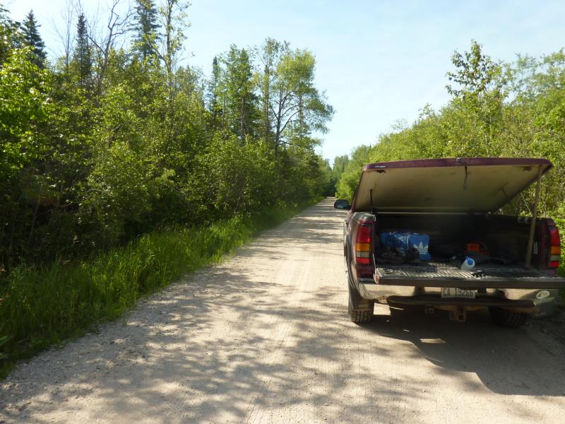
Road Approach - Right
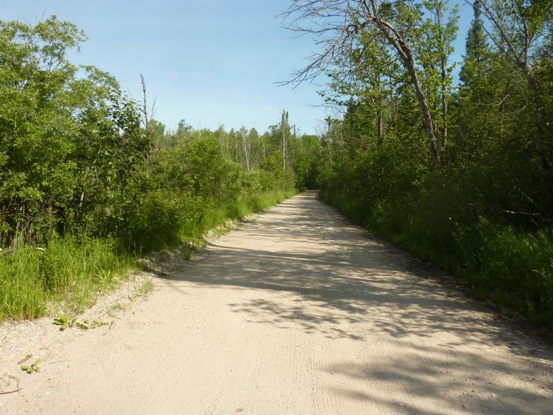
Road Approach - Left
Crossing Information
Type of Crossing: culvert(s)
Number of Structures: 1
Structure Shape: Round
Inlet Type: Trash Rack
Outlet Type: Freefall into Pool
Structure Material: Metal
Structure Substrate: None
General Conditions: Fair
Structure Interior: corrugated
Dimensions of Structure: Length 33.7 ft.
, Width 1.4 ft.
, Height 1.1 ft.
Percentage Plugged:
Inlet: 26% to 50%
Outlet: 0%
In Pipe: 0%
Perch Height: 0.1 ft.
Structure Inlet
Water Depth: 0.7 ft.
Embedded Depth of Structure: 0.1 ft.
Water Velocity*: 0.1 ft./sec.
Structure Outlet
Water Depth: 0.1 ft.
Embedded Depth of Structure: 0 ft.
Water Velocity*: 0.1 ft./sec.
*Water Velocities were measured 0.1 ft. below Surface
(with Meter)
Additional Comments
PRC
Stream Information
Stream Flow: Less than Bankfull
Scour Pool: Length 13.3 ft.
, Width 6.3 ft.
, Depth 1 ft.
Upstream Pond: Length 12.5 ft.
, Width 9.4 ft.
, Depth 0.5 ft.
Riffle Information
Water Depth: 0.1 ft.
Bankfull Width: 2.5 ft.
Wetted Width: 1.7 ft.
Water Velocity: 0.1 ft./sec.
(Measured with Meter)
Dominant Substrate: Sand
Road Information
Gravel
County Road
Road Condition: Fair
Road Width at Culvert: 17 ft.
Location of Low Point: Other
Runoff Path: Ditch
Embankments
Upstream
Fill Depth: 2.4 ft.
Slope: 1:2
Downstream
Fill Depth: 1.7 ft.
Slope: 1:1.5
Approaches
Left Approach
Length: 1000 ft.
Slope: Less Than 1%
Vegetation: Heavy
LS Factor: 0.05
Erosion: 0.2342 tons/year
Right Approach
Length: 0 ft.
Slope: Less Than 1%
Vegetation: Heavy
LS Factor: 0.05
Erosion: 0 tons/year
Erosion Information
Total Erosion at Crossing: 0.2342 tons/year
Extent of Erosion: Severe
Erosion is occurring and corrective actions can be installed to address the problem.
Summary Information
Fish Passability 0
Fish Passage is an area of concern for this site.
�