Road Stream Crossing Site UBR_MB10.2
Upper Black River Watershed, Unknown
Osmun Rd
Nunda Twp,
Cheboygan County
Information collected by:
Site Location
GPS Coordinates: 45.2448
, -84.40615
T33N
R1W
Sec 14
Owned by State
Fish Passability 0.5
Structure is NOT Perched
Total Erosion: 5.8909 tons/year
Severity: Severe
Year Inventoried: 2014
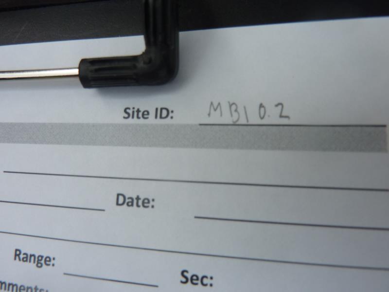
Site ID
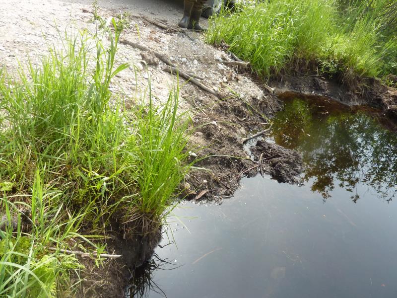
Inlet
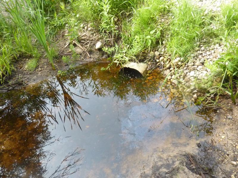
Outlet
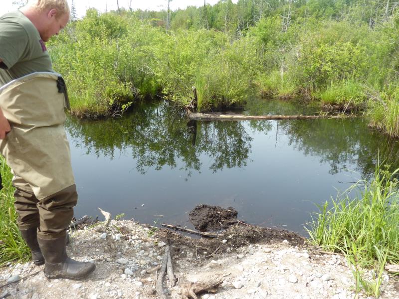
Upstream Conditions
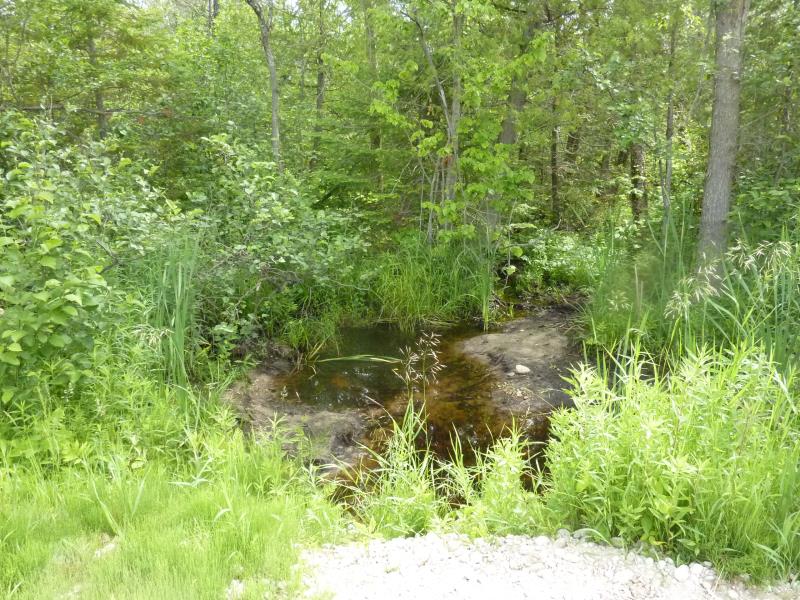
Downstream Conditions
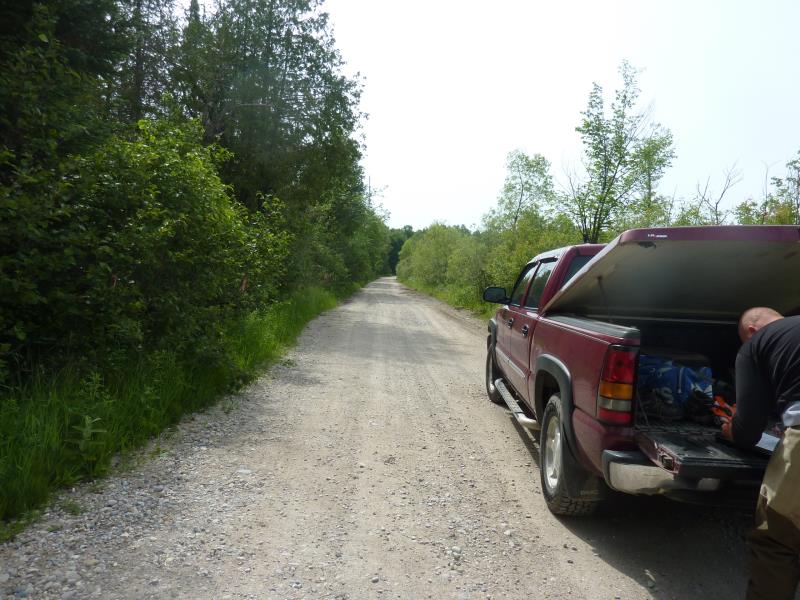
Road Approach - Right
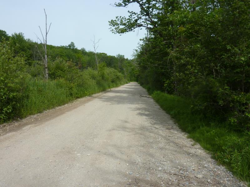
Road Approach - Left
Crossing Information
Type of Crossing: culvert(s)
Number of Structures: 1
Structure Shape: Round
Inlet Type: Projecting
Outlet Type: At Stream Grade
Structure Material: Metal
Structure Substrate: Mixture
General Conditions: Poor
Structure Interior: corrugated
Dimensions of Structure: Length 27 ft.
, Width 1.1 ft.
, Height 1.1 ft.
Percentage Plugged:
Inlet: 76% to 100%
Outlet: 0%
In Pipe: 26% to 50%
Structure is NOT Perched
Water Depth: 0 ft.
Embedded Depth of Structure: 1.1 ft.
Water Velocity*: 0 ft./sec.
Structure Outlet
Water Depth: 0.75 ft.
Embedded Depth of Structure: 0.2 ft.
Water Velocity*: 0 ft./sec.
Additional Comments
PRC; wetland area; inlet is buried
Stream Information
Stream Flow: Less than Bankfull
Scour Pool: Length 0 ft.
, Width 0 ft.
, Depth 0 ft.
Upstream Pond: Length 0 ft.
, Width 0 ft.
, Depth 0 ft.
Riffle Information
Water Depth: 0 ft.
Bankfull Width: 0 ft.
Wetted Width: 0 ft.
Water Velocity: 0 ft./sec.
Road Information
Gravel
County Road
Road Condition: Fair
Road Width at Culvert: 18 ft.
Location of Low Point: At Stream
Runoff Path: Ditch
Embankments
Upstream
Fill Depth: 1.3 ft.
Slope: More than 1:2
Downstream
Fill Depth: 1.1 ft.
Slope: 1:1.5
Approaches
Left Approach
Length: 1000 ft.
Slope: 1% to 5%
Vegetation: Heavy
LS Factor: 0.57
Erosion: 2.8264 tons/year
Right Approach
Length: 1000 ft.
Slope: 1% to 5%
Vegetation: Heavy
LS Factor: 0.57
Erosion: 2.8264 tons/year
Erosion Information
Total Erosion at Crossing: 5.8909 tons/year
Extent of Erosion: Severe
Erosion is occurring and corrective actions can be installed to address the problem.
Location of Erosion | Erosion Dimensions | Eroded Material | Material Eroded | Total Erosion | ||
facing downstream | Length | Width | Depth | Reaching Stream? | (tons/year) | |
Right Upstream Streambank |
4 ft. |
7 ft. |
2 ft. |
yes |
Gravel |
0.16 |
Right Downstream Streambank |
3.9 ft. |
5.4 ft. |
1 ft. |
yes |
Gravel |
0.078 |
Summary Information
Fish Passability 0.5
Fish Passage is an area of concern for this site.
and Erosion
A future visit to this site is recommended. culvert is completely buried at the inlet; road flooding in high rain?
These non-native species were observerd at this site: Honeysuckle
�