Road Stream Crossing Site UBR_MB12
Upper Black River Watershed, Main Branch Black River
Milligan Highway
Presque Isle County
Information collected by:
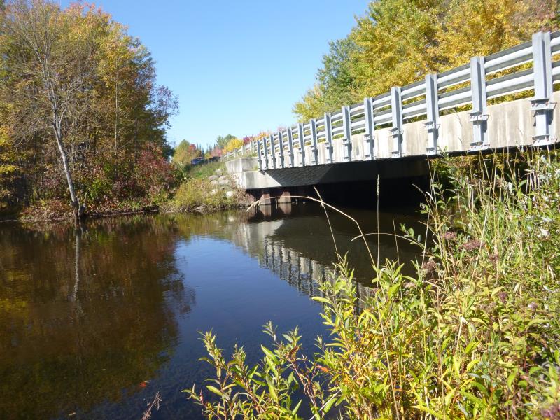
Site Location
GPS Coordinates: 45.277945
, -84.243633
Fish Passability 0.9
Structure is NOT Perched
Total Erosion: 1.0552 tons/year
Severity: Moderate
Year Inventoried: 2014
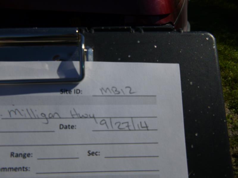
Site ID
Inlet
Outlet
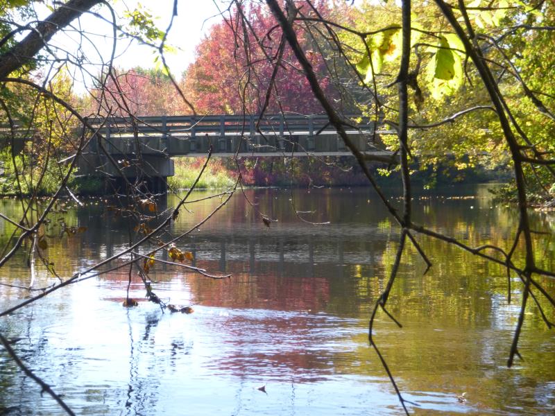
Upstream Conditions
Downstream Conditions
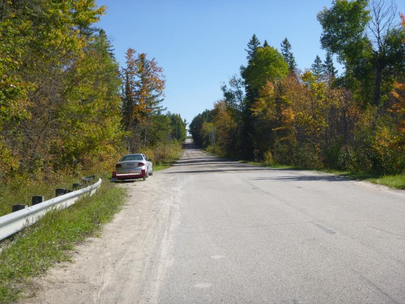
Road Approach - Right
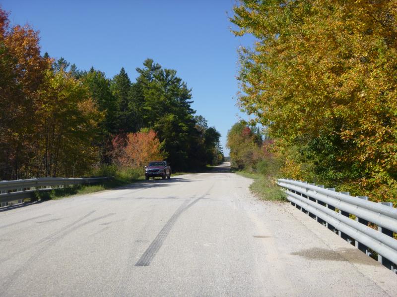
Road Approach - Left
Crossing Information
Type of Crossing: Bridge
Structure Shape: Open Bottom Square/Rectangle
Inlet Type: Headwall
Outlet Type: At Stream Grade
Structure Material: Concrete
Structure Substrate: Sand
General Conditions: Good
Structure Interior: smooth
Dimensions of Structure: Length 62 ft.
, Width 31.7 ft.
, Height 10.4 ft.
Structure is NOT Perched
Structure Inlet
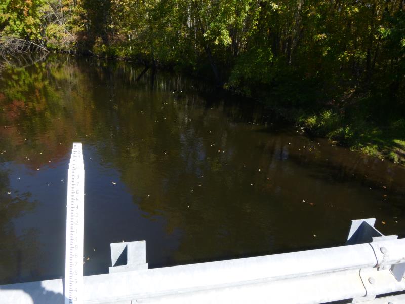
Water Depth: 4.9 ft.
Embedded Depth of Structure: 0 ft.
Water Velocity*: 1.1 ft./sec.
Structure Outlet
Water Depth: 5.4 ft.
Embedded Depth of Structure: 0 ft.
Water Velocity*: 0.8 ft./sec.
*Water Velocities were measured 2 ft. below Surface
(with Meter)
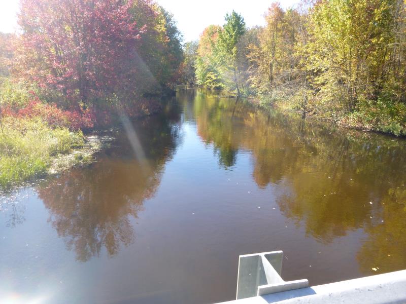
Stream Information
Stream Flow: Less than Bankfull
Scour Pool: Length 0 ft.
, Width 0 ft.
, Depth 0 ft.
Upstream Pond: Length 0 ft.
, Width 0 ft.
, Depth 0 ft.
Riffle Information
Water Depth: 5.2 ft.
Bankfull Width: 67 ft.
Wetted Width: 66 ft.
Water Velocity: 1.1 ft./sec.
(Measured with Meter)
Dominant Substrate: Sand
Road Information
Paved
County Road
Road Condition: Good
Road Width at Culvert: 28 ft.
Location of Low Point: At Stream
Runoff Path: Ditch
Fill Depth: 0 ft.
Fill Depth: 0 ft.
Approaches
Left Approach
Length: 1000 ft.
Slope: 1% to 5%
Vegetation: Heavy
LS Factor: 0.57
Erosion: 0.5276 tons/year
Right Approach
Length: 1000 ft.
Slope: 1% to 5%
Vegetation: Heavy
LS Factor: 0.57
Erosion: 0.5276 tons/year
Erosion Information
Total Erosion at Crossing: 1.0552 tons/year
Summary Information
Fish Passability 0.9
�