Road Stream Crossing Site UBR_MB33
Upper Black River Watershed, Cains Creek
Ross Rd
Grant Twp,
Cheboygan County
Information collected by:
Site Location
GPS Coordinates: 45.5138
, -84.30784
T36N
R1E
Sec 10
Owned by Private
Fish Passability 0
Perch Height: 0.3 ft.
Total Erosion: 0.2961 tons/year
Severity: Severe
Year Inventoried: 2014
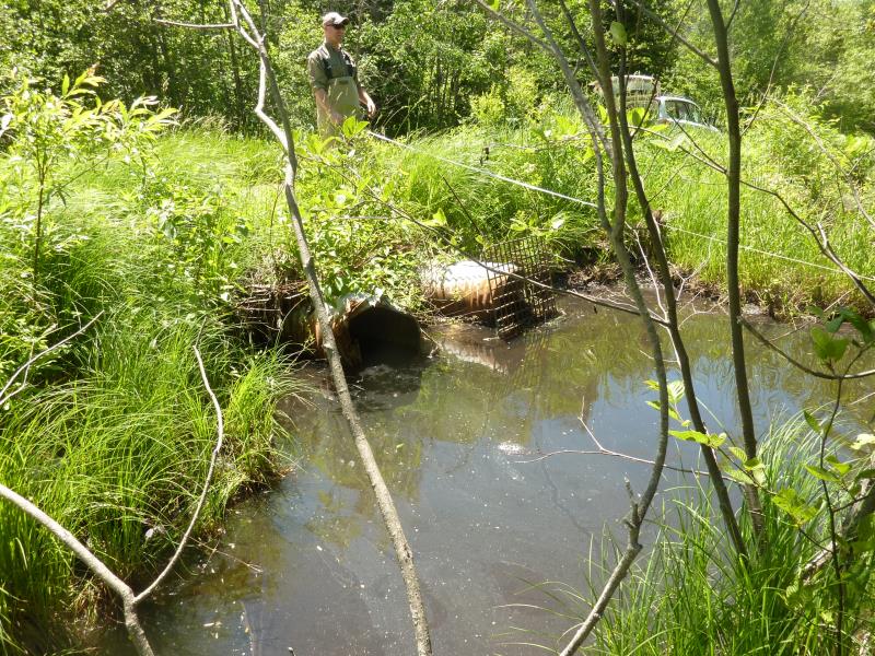
Inlet
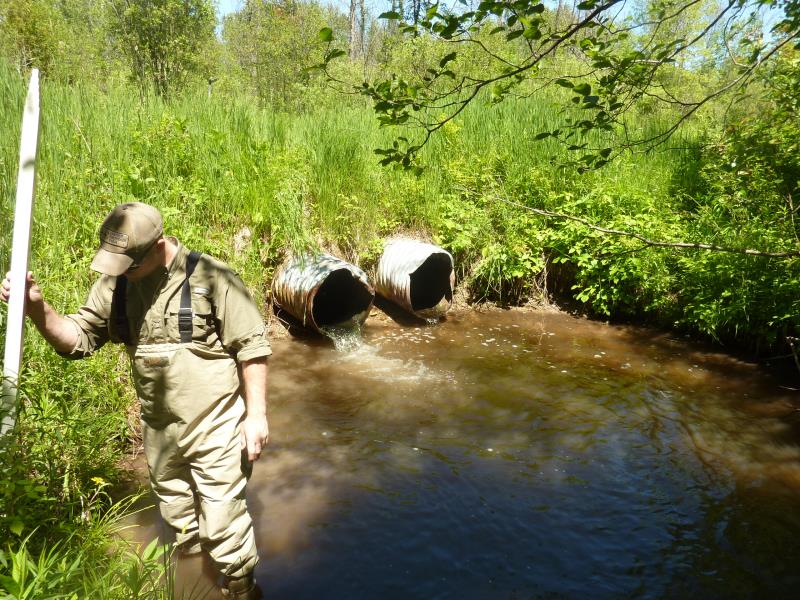
Outlet
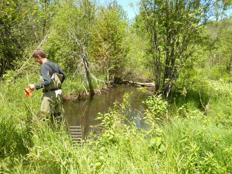
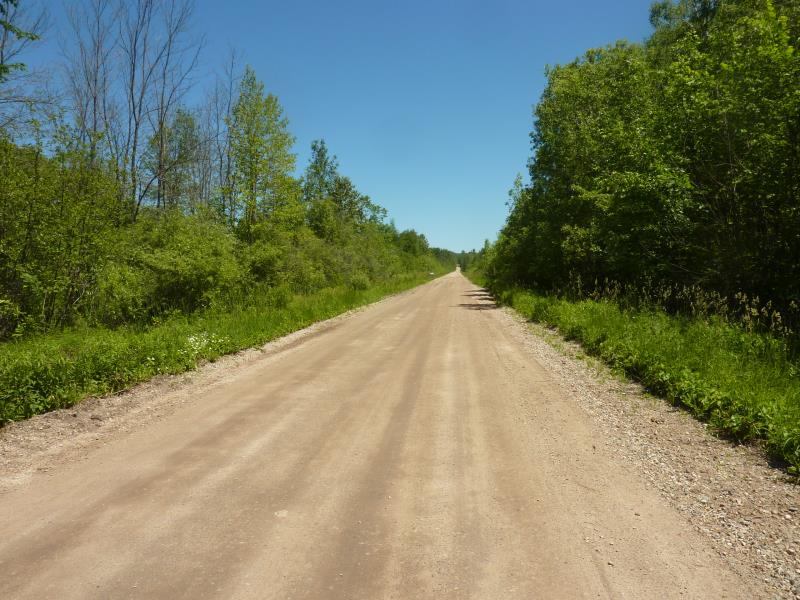
Upstream Conditions
Downstream Conditions
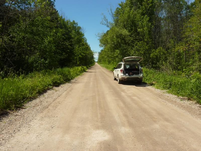
Road Approach - Right
Road Approach - Left
Crossing Information
Type of Crossing: culvert(s)
Number of Structures: 2
Structure Shape: Round
Inlet Type: Trash Rack
Outlet Type: Freefall into Pool
Structure Material: Metal
Structure Substrate: None
General Conditions: Poor
Multiple Culverts/Spans | ||||
Culvert/Span | Width | Length | Height | Material |
2 |
1.8 ft. |
42 ft. |
1.8 ft. |
Metal |
Structure Interior: corrugated
Dimensions of Structure: Length 42 ft.
, Width 1.8 ft.
, Height 1.8 ft.
Percentage Plugged:
Inlet: 1% to 25%
Outlet: 0%
In Pipe: 0%
Perch Height: 0.3 ft.
Structure Inlet
Water Depth: 0.7 ft.
Embedded Depth of Structure: 2.5 ft.
Water Velocity*: 2.5 ft./sec.
Structure Outlet
Water Depth: 0.3 ft.
Embedded Depth of Structure: 0 ft.
Water Velocity*: 3.8 ft./sec.
*Water Velocities were measured 0.3 ft. below Surface
(with Meter)
Additional Comments
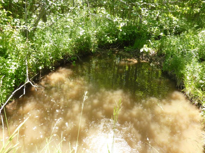
schour pool has a clay bottom and the upstream pond has 2 ft of silt.
Stream Information
Stream Flow: Less than Bankfull
Scour Pool: Length 21 ft.
, Width 15.6 ft.
, Depth 2 ft.
Upstream Pond: Length 38 ft.
, Width 16 ft.
, Depth 1 ft.
Riffle Information
Water Depth: 0.3 ft.
Bankfull Width: 10.3 ft.
Wetted Width: 5.8 ft.
Water Velocity: 0.1 ft./sec.
(Measured with Meter)
Dominant Substrate: Sand
Road Information
Gravel
County Road
Road Condition: Fair
Road Width at Culvert: 21.5 ft.
Location of Low Point: At Stream
Runoff Path: Ditch
Embankments
Upstream
Fill Depth: 1.1 ft.
Slope: 1:2
Downstream
Fill Depth: 1.4 ft.
Slope: More than 1:2
Approaches
Left Approach
Length: 0 ft.
Slope: Less Than 1%
Vegetation: Heavy
LS Factor: 0.05
Erosion: 0 tons/year
Right Approach
Length: 1000 ft.
Slope: Less Than 1%
Vegetation: Heavy
LS Factor: 0.05
Erosion: 0.2961 tons/year
Erosion Information
Total Erosion at Crossing: 0.2961 tons/year
Summary Information
Fish Passability 0
Fish Passage is an area of concern for this site.
perched culvert
�